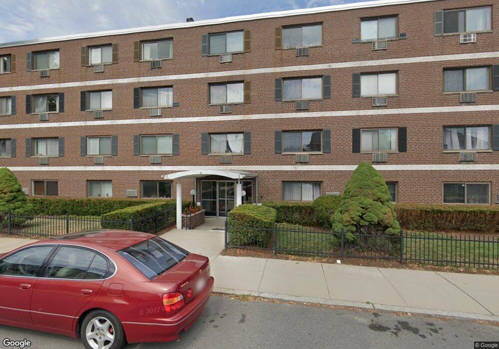
35 Glencoe St Brighton, MA 02135
Brighton NeighborhoodEstimated Value: $294,799 - $441,000
1
Bed
1
Bath
383
Sq Ft
$945/Sq Ft
Est. Value
About This Home
This home is located at 35 Glencoe St, Brighton, MA 02135 and is currently estimated at $361,950, approximately $945 per square foot. 35 Glencoe St is a home located in Suffolk County with nearby schools including Boston Green Academy Horace Mann Charter School, St Columbkille Partnership School, and Shaloh House Jewish Day School.
Ownership History
Date
Name
Owned For
Owner Type
Purchase Details
Closed on
Oct 28, 2020
Sold by
Mill Street 82 Llc
Bought by
Millane Marin B and Millane Noreen M
Current Estimated Value
Purchase Details
Closed on
Feb 5, 2016
Sold by
Liz Stanley Est
Bought by
82 Mill Street Llc
Purchase Details
Closed on
Aug 9, 1999
Sold by
Ghalili Kambiz M
Bought by
Bloom Gail
Purchase Details
Closed on
Jul 31, 1995
Sold by
Giammatteo David T
Bought by
Lennox John
Create a Home Valuation Report for This Property
The Home Valuation Report is an in-depth analysis detailing your home's value as well as a comparison with similar homes in the area
Home Values in the Area
Average Home Value in this Area
Purchase History
| Date | Buyer | Sale Price | Title Company |
|---|---|---|---|
| Millane Marin B | -- | None Available | |
| 82 Mill Street Llc | $160,050 | -- | |
| Bloom Gail | $125,500 | -- | |
| Lennox John | $105,000 | -- |
Source: Public Records
Tax History Compared to Growth
Tax History
| Year | Tax Paid | Tax Assessment Tax Assessment Total Assessment is a certain percentage of the fair market value that is determined by local assessors to be the total taxable value of land and additions on the property. | Land | Improvement |
|---|---|---|---|---|
| 2025 | $2,873 | $248,100 | $0 | $248,100 |
| 2024 | $3,284 | $301,300 | $0 | $301,300 |
| 2023 | $3,236 | $301,300 | $0 | $301,300 |
| 2022 | $3,121 | $286,900 | $0 | $286,900 |
| 2021 | $3,001 | $281,300 | $0 | $281,300 |
| 2020 | $2,120 | $200,800 | $0 | $200,800 |
| 2019 | $2,035 | $193,100 | $0 | $193,100 |
| 2018 | $1,937 | $184,800 | $0 | $184,800 |
| 2017 | $1,812 | $171,100 | $0 | $171,100 |
| 2016 | $1,793 | $163,000 | $0 | $163,000 |
| 2015 | $1,726 | $142,500 | $0 | $142,500 |
| 2014 | $1,560 | $124,000 | $0 | $124,000 |
Source: Public Records
Map
Nearby Homes
- 15 17 Cushman St
- 7 Cypress Rd Unit 703
- 18 Glencoe St Unit 42
- 200-202 Market St
- 11 Faneuil St
- 257 Market St Unit 1
- 87 Etna St
- 58 Dustin St Unit 1
- 21 Soldiers Field Place Unit 408
- 70 Leo Birmingham Pkwy Unit 307
- 14 Bennett St
- 50 Leo M Birmingham Pkwy Unit 303
- 50 Leo M Birmingham Pkwy Unit 605
- 50 Leo M Birmingham Pkwy Unit 603
- 50 Leo M Birmingham Pkwy Unit 501
- 16 Converse St
- 100 Lincoln St Unit 302
- 100 Lincoln St Unit 503
- 100 Lincoln St Unit 202
- 100 Lincoln St Unit 304
- 35 Glencoe St Unit 49
- 35 Glencoe St Unit 48
- 35 Glencoe St Unit 47
- 35 Glencoe St Unit 46
- 35 Glencoe St Unit 45
- 35 Glencoe St Unit 44
- 35 Glencoe St Unit 43
- 35 Glencoe St Unit 42
- 35 Glencoe St Unit 41
- 35 Glencoe St Unit 40
- 35 Glencoe St Unit 39
- 35 Glencoe St Unit 38
- 35 Glencoe St Unit 37
- 35 Glencoe St Unit 36
- 35 Glencoe St Unit 34
- 35 Glencoe St Unit 33
- 35 Glencoe St Unit 32
- 35 Glencoe St Unit 31
- 35 Glencoe St Unit 30
- 35 Glencoe St Unit 29