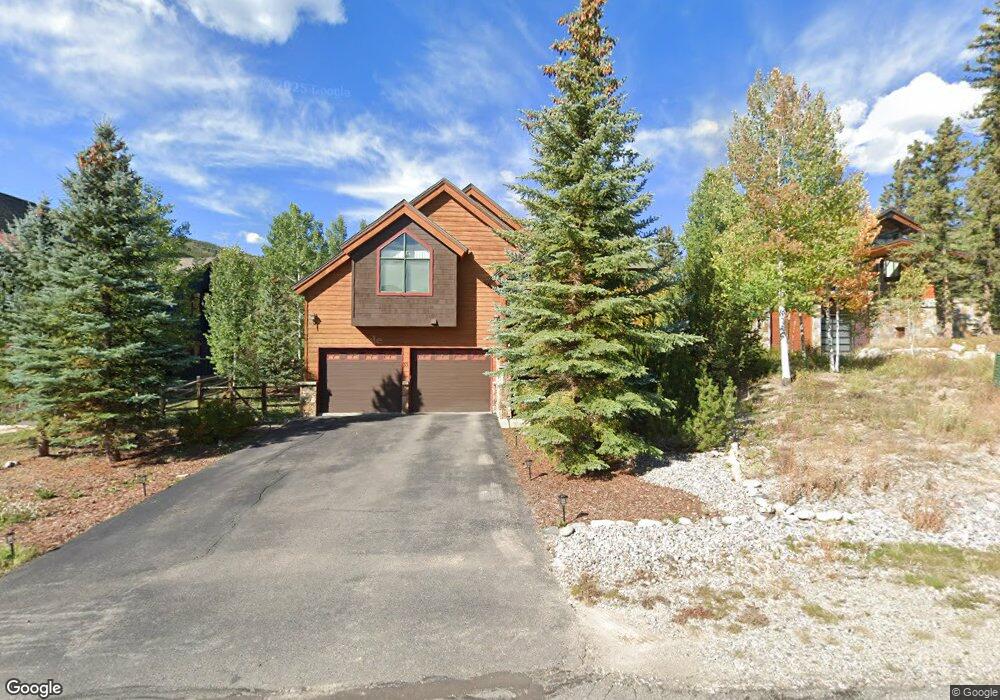
35 Grays Peak Trail Dillon, CO 80435
Keystone NeighborhoodEstimated Value: $1,648,100 - $1,992,000
4
Beds
4
Baths
3,007
Sq Ft
$600/Sq Ft
Est. Value
About This Home
This home is located at 35 Grays Peak Trail, Dillon, CO 80435 and is currently estimated at $1,803,775, approximately $599 per square foot. 35 Grays Peak Trail is a home located in Summit County with nearby schools including Summit Cove Elementary School, Summit Middle School, and Summit High School.
Ownership History
Date
Name
Owned For
Owner Type
Purchase Details
Closed on
Sep 20, 2021
Sold by
Smith Jay Michael
Bought by
Smith Jay Michael and Byer Brenna
Current Estimated Value
Home Financials for this Owner
Home Financials are based on the most recent Mortgage that was taken out on this home.
Original Mortgage
$731,000
Outstanding Balance
$665,156
Interest Rate
2.8%
Mortgage Type
New Conventional
Estimated Equity
$1,138,619
Purchase Details
Closed on
May 7, 2018
Sold by
Greve Mindy
Bought by
Smith Jay Michael
Home Financials for this Owner
Home Financials are based on the most recent Mortgage that was taken out on this home.
Original Mortgage
$744,000
Interest Rate
4.45%
Mortgage Type
New Conventional
Purchase Details
Closed on
Nov 9, 2007
Sold by
Greksa Mark A and Greksa Leah A
Bought by
Greve Mindy
Create a Home Valuation Report for This Property
The Home Valuation Report is an in-depth analysis detailing your home's value as well as a comparison with similar homes in the area
Home Values in the Area
Average Home Value in this Area
Purchase History
| Date | Buyer | Sale Price | Title Company |
|---|---|---|---|
| Smith Jay Michael | -- | None Listed On Document | |
| Smith Jay Michael | -- | None Listed On Document | |
| Smith Jay Michael | $930,000 | Stewart Title | |
| Greve Mindy | $850,000 | Highland Title Company |
Source: Public Records
Mortgage History
| Date | Status | Borrower | Loan Amount |
|---|---|---|---|
| Open | Smith Jay Michael | $731,000 | |
| Closed | Smith Jay Michael | $731,000 | |
| Previous Owner | Smith Jay Michael | $744,000 |
Source: Public Records
Tax History Compared to Growth
Tax History
| Year | Tax Paid | Tax Assessment Tax Assessment Total Assessment is a certain percentage of the fair market value that is determined by local assessors to be the total taxable value of land and additions on the property. | Land | Improvement |
|---|---|---|---|---|
| 2024 | $5,598 | $104,131 | -- | -- |
| 2023 | $5,598 | $100,446 | $0 | $0 |
| 2022 | $3,913 | $65,615 | $0 | $0 |
| 2021 | $3,947 | $67,503 | $0 | $0 |
| 2020 | $3,242 | $58,759 | $0 | $0 |
| 2019 | $3,200 | $58,759 | $0 | $0 |
| 2018 | $3,019 | $53,348 | $0 | $0 |
| 2017 | $2,778 | $53,348 | $0 | $0 |
| 2016 | $2,886 | $54,515 | $0 | $0 |
| 2015 | $2,802 | $54,515 | $0 | $0 |
| 2014 | $2,574 | $49,201 | $0 | $0 |
| 2013 | -- | $49,201 | $0 | $0 |
Source: Public Records
Map
Nearby Homes
- 152 Pikes Peak Place
- 56 Canyon View Ct
- 120 Pikes Peak Place
- 27 Habitat Ct
- 0120 Pikes Peak Place
- 12 Raindance Trail
- 105 Red Cloud Peak Dr
- 34 Snow Peak Ct
- 101 Mule Deer Ct
- 70 Lone Wolf Ct
- 20 Gingerquill Ct
- 7 Golden Rod Cir
- 840 Penstemon Rd
- 862 Penstemon Rd
- 216 Climax Dr
- 815 Summit Dr
- 396 Cove Blvd Unit 30
- 396 Cove Blvd Unit 11
- 113 Cooper Dr
- 653 Vail Cir
- 33 Grays Peak Trail
- 37 Gray's Peak Trail
- 29 Grays Peak Trail
- 43 Grays Peak Trail
- 34 Grays Peak Trail
- 36 Grays Peak Trail
- 26 Grays Peak Trail
- 49 Grays Peak Trail
- 25 Grays Peak Trail
- 40 Grays Peak Trail
- 48 Grays Peak Trail
- 15 Grays Peak Trail
- 18 Grays Peak Trail
- 65 Canyon View Ct
- 71 Canyon View Ct
- 55 Canyon View Ct
- 49 Canyon View Ct
- 79 Canyon View Ct
- 45 Canyon View Ct
- 10 Brushwood Ct