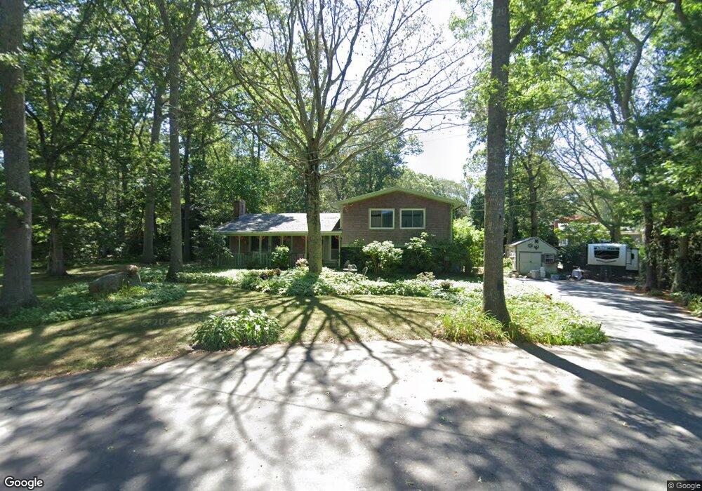
35 Greybirch Ct Wakefield, RI 02879
Estimated Value: $719,000 - $857,000
3
Beds
3
Baths
2,124
Sq Ft
$357/Sq Ft
Est. Value
About This Home
This home is located at 35 Greybirch Ct, Wakefield, RI 02879 and is currently estimated at $758,398, approximately $357 per square foot. 35 Greybirch Ct is a home located in Washington County with nearby schools including South Kingstown High School, Monsignor Matthew Clarke Catholic Regional School, and Bradley School-South.
Ownership History
Date
Name
Owned For
Owner Type
Purchase Details
Closed on
Mar 2, 2001
Sold by
Woodford Susan C
Bought by
Woodford Susan C and Nelson Richard G
Current Estimated Value
Purchase Details
Closed on
Oct 26, 1988
Sold by
Chuckran John R
Bought by
Woodford David W
Create a Home Valuation Report for This Property
The Home Valuation Report is an in-depth analysis detailing your home's value as well as a comparison with similar homes in the area
Home Values in the Area
Average Home Value in this Area
Purchase History
| Date | Buyer | Sale Price | Title Company |
|---|---|---|---|
| Woodford Susan C | $102,000 | -- | |
| Woodford David W | $182,500 | -- |
Source: Public Records
Mortgage History
| Date | Status | Borrower | Loan Amount |
|---|---|---|---|
| Open | Woodford David W | $217,519 | |
| Closed | Woodford David W | $30,000 |
Source: Public Records
Tax History
| Year | Tax Paid | Tax Assessment Tax Assessment Total Assessment is a certain percentage of the fair market value that is determined by local assessors to be the total taxable value of land and additions on the property. | Land | Improvement |
|---|---|---|---|---|
| 2025 | $5,393 | $603,200 | $237,800 | $365,400 |
| 2024 | $5,086 | $460,300 | $176,200 | $284,100 |
| 2023 | $5,086 | $460,300 | $176,200 | $284,100 |
| 2022 | $5,040 | $460,300 | $176,200 | $284,100 |
| 2021 | $4,909 | $339,700 | $135,500 | $204,200 |
| 2020 | $4,909 | $339,700 | $135,500 | $204,200 |
| 2019 | $4,909 | $339,700 | $135,500 | $204,200 |
| 2018 | $4,729 | $301,600 | $129,600 | $172,000 |
| 2017 | $4,617 | $301,600 | $129,600 | $172,000 |
| 2016 | $4,551 | $301,600 | $129,600 | $172,000 |
| 2015 | $4,375 | $281,900 | $117,800 | $164,100 |
| 2014 | $4,364 | $281,900 | $117,800 | $164,100 |
Source: Public Records
Map
Nearby Homes
- 15 Jessica Ln
- 301 Church St Unit 103
- 131 Columbia St
- 48 Stone Bridge Dr
- 37 Columbia St
- 20 Cleveland St
- 143 Summit Ave
- 45 Cherry Ln Unit C
- 57 Rocky Brook Way
- 39 Hazard Ave
- 1808 Kingstown Rd
- 23 Rockland Dr
- 44 Vespia Ln
- 35 Abbey Rd
- 56 Vespia Ln
- 66 Christopher St
- 260 Sweet Allen Farm Rd Unit 3
- 0 Indian Trail Trail S Unit 1389828
- 13 Prospect Ave
- 39 Secluded Dr
- 43 Spruce Ct
- 33 Greybirch Ct
- 37 Spruce Ct
- 14 Greybirch Ct
- 274 Broad Rock Rd
- 260 Broad Rock Rd
- 40 Spruce Ct
- 27 Greybirch Ct
- 284 Broad Rock Rd
- 250 Broad Rock Rd
- 27 Spruce Ct
- 14 Arbor Way
- 19 Greybirch Ct
- 32 Arbor Way
- 32 Spruce Ct
- 115 Dendron Rd
- 7 Greybirch Ct
- 129 Dendron Rd
- 300 Broad Rock Rd
- 240 Broad Rock Rd
Your Personal Tour Guide
Ask me questions while you tour the home.