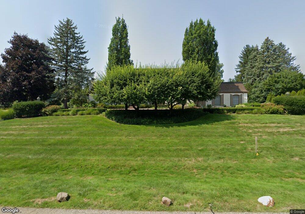
35 Harlan Dr Bloomfield Hills, MI 48304
Estimated Value: $1,571,576 - $2,015,000
4
Beds
7
Baths
5,334
Sq Ft
$338/Sq Ft
Est. Value
About This Home
This home is located at 35 Harlan Dr, Bloomfield Hills, MI 48304 and is currently estimated at $1,803,394, approximately $338 per square foot. 35 Harlan Dr is a home located in Oakland County with nearby schools including South Hills Middle School, Way Elementary School, and Bloomfield Hills High School.
Ownership History
Date
Name
Owned For
Owner Type
Purchase Details
Closed on
Nov 23, 2009
Sold by
Hodas Ernest and Hodas Shirley M
Bought by
Watson Danny and Watson Selina
Current Estimated Value
Purchase Details
Closed on
Jun 16, 1997
Sold by
Phelps Arland E
Bought by
Hodas Ernest
Home Financials for this Owner
Home Financials are based on the most recent Mortgage that was taken out on this home.
Original Mortgage
$900,000
Interest Rate
8%
Create a Home Valuation Report for This Property
The Home Valuation Report is an in-depth analysis detailing your home's value as well as a comparison with similar homes in the area
Home Values in the Area
Average Home Value in this Area
Purchase History
| Date | Buyer | Sale Price | Title Company |
|---|---|---|---|
| Watson Danny | -- | Heritage Title | |
| Hodas Ernest | -- | -- |
Source: Public Records
Mortgage History
| Date | Status | Borrower | Loan Amount |
|---|---|---|---|
| Previous Owner | Hodas Ernest | $900,000 |
Source: Public Records
Tax History Compared to Growth
Tax History
| Year | Tax Paid | Tax Assessment Tax Assessment Total Assessment is a certain percentage of the fair market value that is determined by local assessors to be the total taxable value of land and additions on the property. | Land | Improvement |
|---|---|---|---|---|
| 2024 | $14,471 | $724,770 | $0 | $0 |
| 2023 | $13,922 | $683,130 | $0 | $0 |
| 2022 | $16,096 | $676,410 | $0 | $0 |
| 2021 | $15,504 | $658,320 | $0 | $0 |
| 2020 | $12,712 | $614,160 | $0 | $0 |
| 2019 | $14,433 | $587,060 | $0 | $0 |
| 2018 | $14,608 | $559,160 | $0 | $0 |
| 2017 | $14,322 | $552,760 | $0 | $0 |
| 2016 | $14,274 | $533,380 | $0 | $0 |
| 2015 | -- | $508,480 | $0 | $0 |
| 2014 | -- | $433,620 | $0 | $0 |
| 2011 | -- | $370,010 | $0 | $0 |
Source: Public Records
Map
Nearby Homes
- 1348 Charrington Rd
- 1287 Charrington Rd
- 596 Rudgate Rd
- 270 Martell Dr
- 692 Bennington Dr
- 5825 Lahser Rd
- 3546 Bloomfield Club Dr
- 2579 Amberly Rd
- 1019 N Cranbrook Rd
- 3320 Morningview Terrace
- 4650 Lahser Rd
- 956 Westwood Dr
- 100 Overhill Rd
- 1260 Lyonhurst St
- 1120 Lyonhurst St
- 931 Vaughan Rd
- 5741 Snowshoe Cir
- 231 Wadsworth Ln
- 1882 Melbourne St
- 341 Keswick Rd
- 3204 Quarton Rd
- 75 Harlan Dr
- 50 Harlan Dr
- 3224 Quarton Rd
- 1526 Ardmoor Dr
- 80 Harlan Dr
- 1561 Hemsworth Ct
- 3104 Quarton Rd
- 1525 Ardmoor Dr
- 1573 Hemsworth Ct
- 105 Harlan Dr
- 609 Yarboro Dr
- 1516 Ardmoor Dr
- 3326 Quarton Rd
- 3275 Quarton Rd
- 615 Yarboro Dr
- 150 Marblehead Dr
- 1549 Hemsworth Ct
- 110 Harlan Dr
- 1597 Sandringham Way