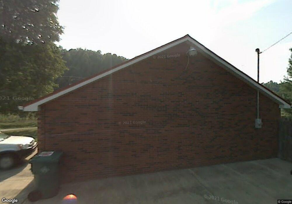
35 Hereford Rd Hurricane, WV 25526
Estimated Value: $219,000 - $324,000
3
Beds
1
Bath
1,419
Sq Ft
$181/Sq Ft
Est. Value
About This Home
This home is located at 35 Hereford Rd, Hurricane, WV 25526 and is currently estimated at $256,515, approximately $180 per square foot. 35 Hereford Rd is a home with nearby schools including Calvary Baptist Academy.
Ownership History
Date
Name
Owned For
Owner Type
Purchase Details
Closed on
Feb 13, 2017
Sold by
Hartley Stephen A and Hartley Linda G
Bought by
Monroe Sarah Louise and Monroe Jefferson Davis
Current Estimated Value
Home Financials for this Owner
Home Financials are based on the most recent Mortgage that was taken out on this home.
Original Mortgage
$138,240
Outstanding Balance
$114,103
Interest Rate
4.09%
Mortgage Type
FHA
Estimated Equity
$142,412
Purchase Details
Closed on
Dec 12, 2007
Sold by
Hartley Linda G and Burdette Linda G
Bought by
Hartley Linda G and Hartley Stephen A
Create a Home Valuation Report for This Property
The Home Valuation Report is an in-depth analysis detailing your home's value as well as a comparison with similar homes in the area
Home Values in the Area
Average Home Value in this Area
Purchase History
| Date | Buyer | Sale Price | Title Company |
|---|---|---|---|
| Monroe Sarah Louise | -- | None Available | |
| Hartley Linda G | -- | -- |
Source: Public Records
Mortgage History
| Date | Status | Borrower | Loan Amount |
|---|---|---|---|
| Open | Monroe Sarah Louise | $138,240 |
Source: Public Records
Tax History Compared to Growth
Tax History
| Year | Tax Paid | Tax Assessment Tax Assessment Total Assessment is a certain percentage of the fair market value that is determined by local assessors to be the total taxable value of land and additions on the property. | Land | Improvement |
|---|---|---|---|---|
| 2024 | $1,144 | $77,220 | $11,940 | $65,280 |
| 2023 | $870 | $75,660 | $11,940 | $63,720 |
| 2022 | $894 | $74,160 | $12,060 | $62,100 |
| 2021 | $895 | $73,920 | $12,060 | $61,860 |
| 2020 | $879 | $72,660 | $12,060 | $60,600 |
| 2019 | $864 | $70,380 | $12,900 | $57,480 |
| 2018 | $850 | $69,060 | $12,900 | $56,160 |
| 2017 | $599 | $68,280 | $12,900 | $55,380 |
| 2016 | $504 | $60,360 | $8,040 | $52,320 |
| 2015 | $562 | $64,680 | $8,040 | $56,640 |
| 2014 | $798 | $63,480 | $9,240 | $54,240 |
Source: Public Records
Map
Nearby Homes
- 1051 Crestmont Rd
- 3806 Kathy Dr
- 4052 Farmington Dr
- 606 Cow Creek Rd
- 3715 Cambridge Dr
- 8004 Southridge Way
- 9000-9001 Claymont Cir
- 8016 Southridge Way
- 8018 Southridge Way
- 3008 Cliffside Rd
- 3014 Cliffside Rd
- 3016 Cliffside Rd
- 3028 Cliffside Rd
- 3030 Cliffside Rd
- 3032 Cliffside Rd
- 3034 Cliffside Rd
- 112 Mulberry Dr
- 539 Edgewood Rd
- 120 Sterling Dr
- 12 Meadow Brook
- 56 Hereford Rd
- 4 Hereford Rd
- 6 Hereford Rd
- 359 Cow Creek Rd
- 66 Cow Creek Rd
- 76 Hereford Rd
- 293 Cow Creek Rd
- 2005 Branchside Rd
- 2007 Branchside Rd
- 68 Cow Creek Rd
- 67 Cow Creek Rd
- 2009 Branchside Rd
- 265 Cow Creek Rd
- 2003 Branchside Rd
- 2004 Branchside Rd
- 2011 Branchside Rd
- 2006 Branchside Rd
- 1003 Crestmont Rd
- 58 Cow Creek Rd
- 1005 Crestmont Rd