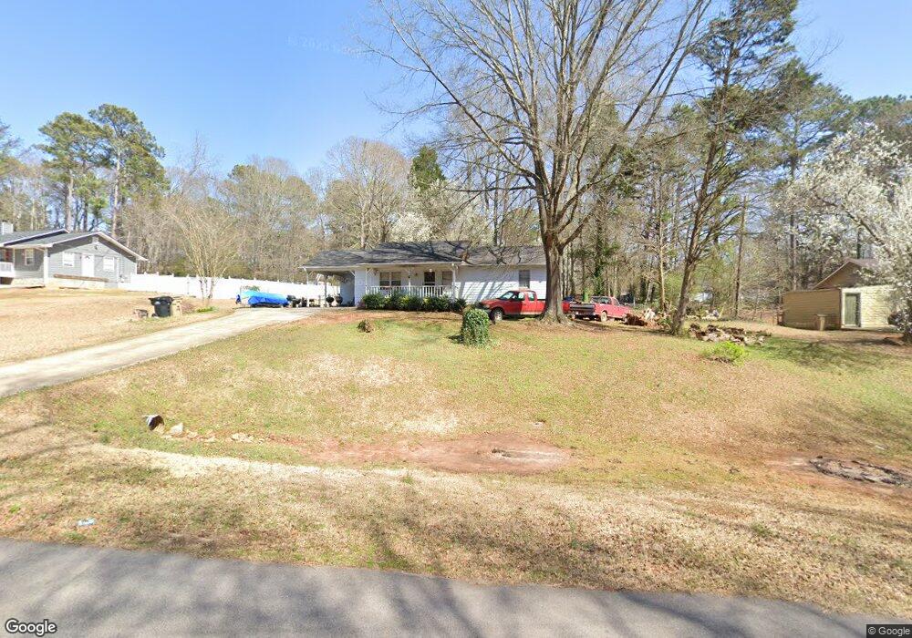
35 Highland Cir McDonough, GA 30253
Estimated Value: $203,556 - $232,000
3
Beds
2
Baths
1,288
Sq Ft
$173/Sq Ft
Est. Value
About This Home
This home is located at 35 Highland Cir, McDonough, GA 30253 and is currently estimated at $222,889, approximately $173 per square foot. 35 Highland Cir is a home located in Henry County with nearby schools including Flippen Elementary School, Eagle's Landing Middle School, and Eagle's Landing High School.
Ownership History
Date
Name
Owned For
Owner Type
Purchase Details
Closed on
Jun 11, 2001
Sold by
Jones Timothy
Bought by
Jones Timothy and Jones Marilyn E
Current Estimated Value
Home Financials for this Owner
Home Financials are based on the most recent Mortgage that was taken out on this home.
Original Mortgage
$98,049
Outstanding Balance
$37,130
Interest Rate
7.06%
Mortgage Type
New Conventional
Estimated Equity
$185,759
Purchase Details
Closed on
Apr 27, 2000
Sold by
West Darlene T
Bought by
Jones Timothy
Home Financials for this Owner
Home Financials are based on the most recent Mortgage that was taken out on this home.
Original Mortgage
$91,743
Interest Rate
8.23%
Mortgage Type
FHA
Purchase Details
Closed on
Feb 8, 2000
Sold by
West Leslie C
Bought by
West Darlene T
Create a Home Valuation Report for This Property
The Home Valuation Report is an in-depth analysis detailing your home's value as well as a comparison with similar homes in the area
Home Values in the Area
Average Home Value in this Area
Purchase History
| Date | Buyer | Sale Price | Title Company |
|---|---|---|---|
| Jones Timothy | -- | -- | |
| Jones Timothy | $92,500 | -- | |
| West Darlene T | -- | -- |
Source: Public Records
Mortgage History
| Date | Status | Borrower | Loan Amount |
|---|---|---|---|
| Open | Jones Timothy | $98,049 | |
| Previous Owner | Jones Timothy | $91,743 |
Source: Public Records
Tax History Compared to Growth
Tax History
| Year | Tax Paid | Tax Assessment Tax Assessment Total Assessment is a certain percentage of the fair market value that is determined by local assessors to be the total taxable value of land and additions on the property. | Land | Improvement |
|---|---|---|---|---|
| 2024 | $2,286 | $83,720 | $12,000 | $71,720 |
| 2023 | $1,903 | $86,400 | $10,000 | $76,400 |
| 2022 | $1,845 | $62,560 | $10,000 | $52,560 |
| 2021 | $1,610 | $52,600 | $10,000 | $42,600 |
| 2020 | $1,445 | $45,640 | $8,000 | $37,640 |
| 2019 | $1,337 | $41,040 | $8,000 | $33,040 |
| 2018 | $1,214 | $37,680 | $8,000 | $29,680 |
| 2016 | $943 | $30,600 | $4,000 | $26,600 |
| 2015 | $777 | $25,920 | $4,000 | $21,920 |
| 2014 | $658 | $22,800 | $4,000 | $18,800 |
Source: Public Records
Map
Nearby Homes
- 146 Highland Cir
- 152 Highland Cir
- 290 Highland Cir
- 405 Highland Dr
- 245 Pleasant Valley Rd
- 360 Meadowbrook Dr
- 245 Fenwick Cir
- 207 Summerfield Ln
- 227 Fenwick Cir Unit 227
- 304 Tunis Rd
- 409 Kenley Ct
- 221 Fenwick Cir Unit 221
- 860 Nevis Way
- 90 Sunset Rd
- 105 Annaberg Place
- 156 Orchard Park Dr
- 0 Tunis Rd Unit 10544344
- 210 Meadowbrook Dr
- 70 Meadowbrook Dr
- 233 Janney Cir
- 45 Highland Cir
- 25 Highland Cir
- 40 Wake Rd
- 30 Wake Rd
- 50 Wake Rd
- 30 Highland Cir
- 55 Highland Cir
- 0 Wake Rd Unit 8366477
- 0 Wake Rd Unit 8369433
- 0 Wake Rd Unit 8244511
- 0 Wake Rd Unit 8280858
- 0 Wake Rd Unit 8296261
- 0 Wake Rd Unit 8635985
- 0 Wake Rd Unit 8143025
- 0 Wake Rd Unit 7595232
- 0 Wake Rd Unit 8889433
- 0 Wake Rd Unit 8941079
- 0 Wake Rd Unit 7041455
- 0 Wake Rd Unit 7561666
- 0 Wake Rd Unit 8027196