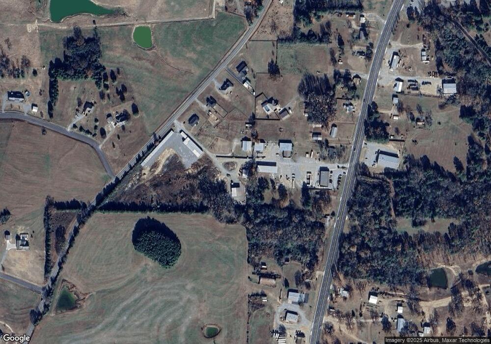
35 Highway 124 W Damascus, AR 72039
Estimated Value: $333,000 - $442,568
--
Bed
--
Bath
3,420
Sq Ft
$113/Sq Ft
Est. Value
About This Home
This home is located at 35 Highway 124 W, Damascus, AR 72039 and is currently estimated at $386,892, approximately $113 per square foot. 35 Highway 124 W is a home with nearby schools including South Side Elementary School and South Side High School.
Ownership History
Date
Name
Owned For
Owner Type
Purchase Details
Closed on
Sep 29, 2016
Sold by
Hall Henry Earl
Bought by
Hall Henry Earl
Current Estimated Value
Purchase Details
Closed on
May 26, 2010
Sold by
Hall Henry and Hall Terry
Bought by
Glover Tresse and Glover Josh
Purchase Details
Closed on
Jan 20, 2005
Bought by
Hall
Create a Home Valuation Report for This Property
The Home Valuation Report is an in-depth analysis detailing your home's value as well as a comparison with similar homes in the area
Home Values in the Area
Average Home Value in this Area
Purchase History
| Date | Buyer | Sale Price | Title Company |
|---|---|---|---|
| Hall Henry Earl | -- | None Available | |
| Glover Tresse | $7,000 | -- | |
| Hall | $27,000 | -- |
Source: Public Records
Mortgage History
| Date | Status | Borrower | Loan Amount |
|---|---|---|---|
| Closed | Hall Henry | $75,000 |
Source: Public Records
Tax History Compared to Growth
Tax History
| Year | Tax Paid | Tax Assessment Tax Assessment Total Assessment is a certain percentage of the fair market value that is determined by local assessors to be the total taxable value of land and additions on the property. | Land | Improvement |
|---|---|---|---|---|
| 2025 | $3,641 | $89,320 | $5,180 | $84,140 |
| 2024 | $3,338 | $89,320 | $5,180 | $84,140 |
| 2023 | $2,917 | $61,760 | $5,180 | $56,580 |
| 2022 | $2,688 | $61,760 | $5,180 | $56,580 |
| 2021 | $2,084 | $61,760 | $5,180 | $56,580 |
| 2020 | $1,916 | $45,910 | $3,630 | $42,280 |
| 2019 | $1,916 | $45,910 | $3,630 | $42,280 |
| 2018 | $867 | $24,390 | $3,630 | $20,760 |
| 2017 | $867 | $24,390 | $3,630 | $20,760 |
| 2016 | $867 | $24,390 | $3,630 | $20,760 |
| 2015 | $10 | $200 | $200 | $0 |
| 2014 | $116 | $9,340 | $1,820 | $7,520 |
Source: Public Records
Map
Nearby Homes
- 27 Highway 124 W
- 70 S Broadway St
- 18 Arkansas 124
- 80 Spires Rd
- 0 S Broadway and Hwy 65 Dr
- 10 Leonard Loop
- 000 Scratch Gravel Rd Unit LotWP001
- 000 Scratch Gravel Rd
- 1526 U S 65
- 32 Arrow Ridge Rd
- 284 Highway 124 W
- 00 Silver Maple Rd
- 247 Solomon Grove Rd
- 6 Oak Cliff Cove
- 623 Batesville Mountain Rd
- 17 Ozark Dr
- 2053 Highway 124
- 7488 Highway 92 W
- 990 Mahan Dr
- 22 Hudson Cove
- 62 S Broadway St
- 86 S Broadway St
- 29 Highway 124 W
- 29 Arkansas 124
- 0 Highway 124 W Unit 15030564
- 0 Highway 124 W Unit 18000719
- 82 S Broadway St
- 25 Highway 124 W
- 78 S Broadway St
- 90 S Broadway St
- 74 S Broadway St
- 98 S Broadway St
- S Broadway
- 2 Overland Dr
- 64 Highway 65 N
- 71 S Broadway St
- 83 S Broadway St
- 91 S Broadway St
- 99 S Broadway St
- 58 S Broadway St
