Estimated Value: $834,229
--
Bed
--
Bath
7,928
Sq Ft
$105/Sq Ft
Est. Value
About This Home
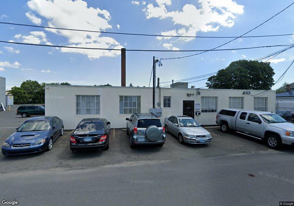
This home is located at 35 Hill St, Bridgeport, CT 06606 and is currently estimated at $834,229, approximately $105 per square foot. 35 Hill St is a home located in Fairfield County with nearby schools including Read School, Harding High School, and Achievement First Bridgeport Academy Elementary School.
Ownership History
Date
Name
Owned For
Owner Type
Purchase Details
Closed on
Apr 27, 2009
Sold by
Bru-Ern Llc
Bought by
Hill Street Llc
Current Estimated Value
Home Financials for this Owner
Home Financials are based on the most recent Mortgage that was taken out on this home.
Original Mortgage
$350,000
Outstanding Balance
$170,644
Interest Rate
4.93%
Mortgage Type
Commercial
Estimated Equity
$663,585
Create a Home Valuation Report for This Property
The Home Valuation Report is an in-depth analysis detailing your home's value as well as a comparison with similar homes in the area
Home Values in the Area
Average Home Value in this Area
Purchase History
| Date | Buyer | Sale Price | Title Company |
|---|---|---|---|
| Hill Street Llc | $465,000 | -- | |
| Hill Street Llc | $465,000 | -- |
Source: Public Records
Mortgage History
| Date | Status | Borrower | Loan Amount |
|---|---|---|---|
| Open | Hill Street Llc | $350,000 | |
| Closed | Hill Street Llc | $350,000 |
Source: Public Records
Tax History Compared to Growth
Tax History
| Year | Tax Paid | Tax Assessment Tax Assessment Total Assessment is a certain percentage of the fair market value that is determined by local assessors to be the total taxable value of land and additions on the property. | Land | Improvement |
|---|---|---|---|---|
| 2025 | $17,303 | $398,230 | $122,940 | $275,290 |
| 2024 | $17,303 | $398,230 | $122,940 | $275,290 |
| 2023 | $17,303 | $398,230 | $122,940 | $275,290 |
| 2022 | $17,303 | $398,230 | $122,940 | $275,290 |
| 2021 | $17,303 | $398,230 | $122,940 | $275,290 |
| 2020 | $19,147 | $354,640 | $80,600 | $274,040 |
| 2019 | $19,147 | $354,640 | $80,600 | $274,040 |
| 2018 | $19,282 | $354,640 | $80,600 | $274,040 |
| 2017 | $19,282 | $354,640 | $80,600 | $274,040 |
| 2016 | $19,282 | $354,640 | $80,600 | $274,040 |
| 2015 | $15,857 | $375,750 | $80,600 | $295,150 |
| 2014 | $15,857 | $375,750 | $80,600 | $295,150 |
Source: Public Records
Map
Nearby Homes
- 178 Island Brook Ave
- 957 William St Unit A
- 44 Locust St Unit 46
- 152 River St
- 142 Palm St
- 1014 Noble Ave
- 1218 Kossuth St
- 2031 E Main St
- 199 Bradley St Unit 203
- 438 Park St
- 502 Berkshire Ave
- 604 William St
- 50 Goddard Ave
- 291 Stillman St
- 230 Hickory St
- 369 Park St
- 202 Goddard Ave
- 105 Asylum St
- 110 Asylum St
- 83 Berkeley Place Unit 85
- 51 Hill St
- 64 Hill St Unit 66
- 59 Hill St Unit 61
- 65 Hill St Unit 67
- 58 Hill St Unit 60
- 74 Hill St Unit 76
- 52 Island Brook Ave Unit 54
- 1079 William St
- 1079 William St Unit 1
- 1109 William St
- 1135 William St
- 1099 William St
- 1089 William St
- 15 Chase St
- 17 Chase St Unit 19
- 21 Chase St Unit 23
- 3 Island Brook Ave
- 3 Island Brook Ave Unit 5
- 3 Island Brook Ave Unit d-5
- 3 Island Brook Ave Unit d 1