35 Hopes Ct Murrayville, GA 30564
Murrayville NeighborhoodEstimated Value: $457,505 - $667,000
--
Bed
2
Baths
2,055
Sq Ft
$253/Sq Ft
Est. Value
About This Home
This home is located at 35 Hopes Ct, Murrayville, GA 30564 and is currently estimated at $519,126, approximately $252 per square foot. 35 Hopes Ct is a home with nearby schools including Tesnatee Gap Elementary (Old White County Intermediate), White County 9th Grade Academy, and Jack P. Nix Elementary School.
Ownership History
Date
Name
Owned For
Owner Type
Purchase Details
Closed on
Mar 24, 1988
Sold by
Burgess Larry D
Bought by
Burgess Larry D
Current Estimated Value
Purchase Details
Closed on
Dec 1, 1984
Sold by
Burgess Larry D
Bought by
Burgess Larry D
Purchase Details
Closed on
Aug 1, 1978
Bought by
Burgess Larry D
Create a Home Valuation Report for This Property
The Home Valuation Report is an in-depth analysis detailing your home's value as well as a comparison with similar homes in the area
Home Values in the Area
Average Home Value in this Area
Purchase History
| Date | Buyer | Sale Price | Title Company |
|---|---|---|---|
| Burgess Larry D | -- | -- | |
| Burgess Larry D | -- | -- | |
| Burgess Larry D | -- | -- |
Source: Public Records
Tax History Compared to Growth
Tax History
| Year | Tax Paid | Tax Assessment Tax Assessment Total Assessment is a certain percentage of the fair market value that is determined by local assessors to be the total taxable value of land and additions on the property. | Land | Improvement |
|---|---|---|---|---|
| 2024 | $46 | $178,882 | $105,586 | $73,296 |
| 2023 | $8 | $169,041 | $100,242 | $68,799 |
| 2022 | $180 | $160,427 | $91,130 | $69,297 |
| 2021 | $95 | $152,086 | $91,130 | $60,956 |
| 2020 | $77 | $150,603 | $91,130 | $59,473 |
| 2019 | $72 | $150,603 | $91,130 | $59,473 |
| 2018 | $65 | $144,324 | $91,130 | $53,194 |
| 2017 | $65 | $146,048 | $91,130 | $54,918 |
| 2016 | -- | $140,289 | $91,317 | $48,972 |
| 2015 | -- | $140,289 | $91,317 | $48,972 |
| 2014 | -- | $142,334 | $91,317 | $51,017 |
| 2013 | -- | $144,378 | $91,316 | $53,061 |
Source: Public Records
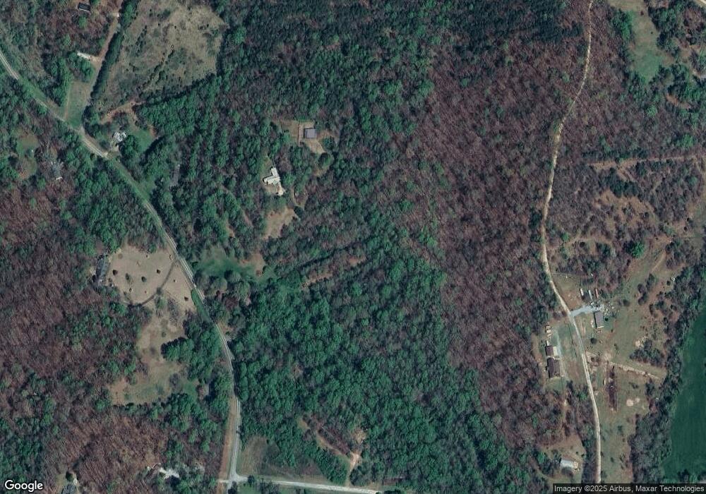
Map
Nearby Homes
- 966 Wahoo Creek Rd
- 6.2 Mincey Acres Dr
- 3.65 Ac Emory Stephens Rd
- 3.65AC Emory Stephens Rd
- 0 Roseberry Ln
- 132 Wauka Mountain Rd
- 23.86 Acres Mincie Mountain
- 20.65 Acres Mincie Mountain
- 42.65 Acres Mincie Mountain
- 00 Deer Run Trail
- 0 Wauka Ridge Rd
- LOT 34 Wauka Ridge Rd
- 86.99 Acres Mincie Mountain
- 675 Wauka Ridge Rd
- LOT 24 Luther Palmer Rd
- 12 Katydid Ln
- 600 Chapman Ridge Ln
- 500 Chapman Ridge Ln
- 27.68 Chapman Ridge Ln
- 1768 Post White Hill Rd
- 1642 Post White Hill Rd
- 1643 Post White Hill Rd
- 1535 Post White Hill Rd
- 0 Dorothy Saine Dr Unit 6032982
- 0 Dorothy Saine Dr Unit 8405318
- 0 Dorothy Saine Dr Unit 8294197
- 0 Dorothy Saine Dr Unit 5936413
- 0 Dorothy Saine Dr Unit LOT 3 3064032
- 0 Dorothy Saine Dr
- 0 Dorothy Saine Dr Unit 8155938
- 1526 Post White Hill Rd
- 1526 Post White Hill Rd
- 152 Grizzle Ln
- 122 Wilson Rd
- 1489 Post White Hill Rd
- 113 Dorothy Saine Dr
- 202 Dorothy Saine Dr
- 155 Dorothy Saine Dr
- 212 Dorothy Saine Dr