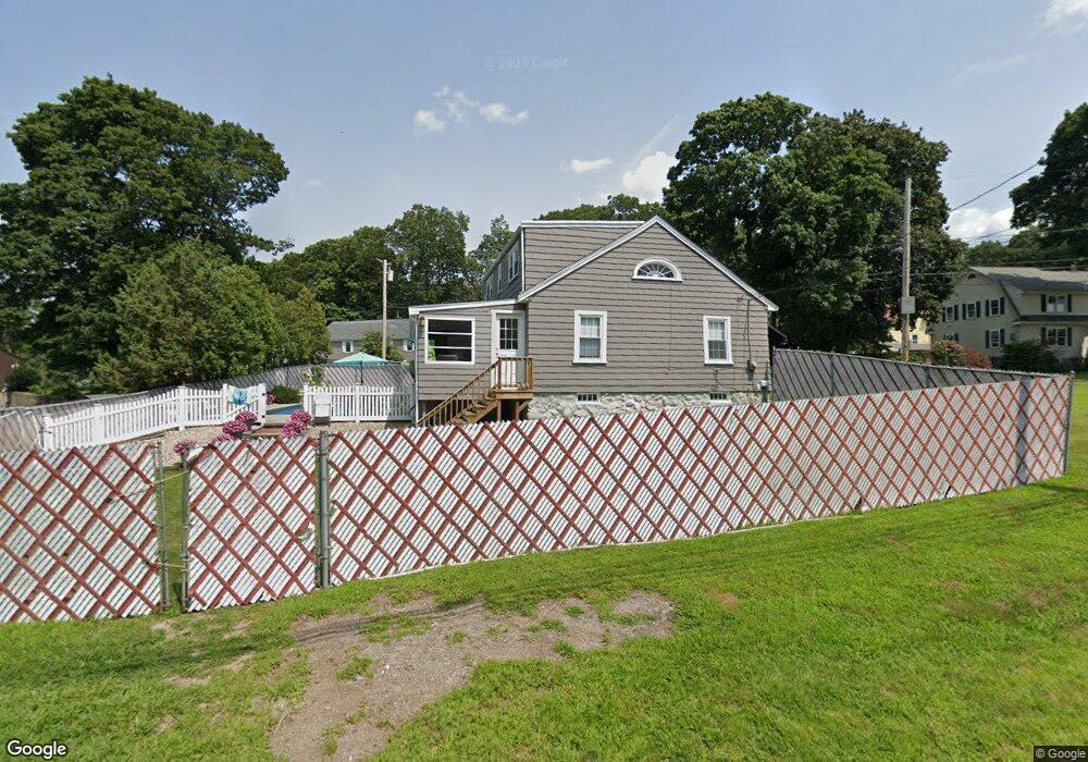
35 Hopkins St Wakefield, MA 01880
West Side NeighborhoodEstimated Value: $815,131 - $942,000
3
Beds
2
Baths
1,913
Sq Ft
$452/Sq Ft
Est. Value
About This Home
This home is located at 35 Hopkins St, Wakefield, MA 01880 and is currently estimated at $865,033, approximately $452 per square foot. 35 Hopkins St is a home located in Middlesex County with nearby schools including Wakefield Memorial High School, St Joseph School, and St. Patrick Elementary School.
Ownership History
Date
Name
Owned For
Owner Type
Purchase Details
Closed on
Oct 30, 2020
Sold by
Brizee Dagmar A
Bought by
Blais Janelle
Current Estimated Value
Purchase Details
Closed on
Jan 3, 1980
Bought by
Brizee Alfred A and Brizee Dagmar
Create a Home Valuation Report for This Property
The Home Valuation Report is an in-depth analysis detailing your home's value as well as a comparison with similar homes in the area
Home Values in the Area
Average Home Value in this Area
Purchase History
| Date | Buyer | Sale Price | Title Company |
|---|---|---|---|
| Blais Janelle | -- | None Available | |
| Brizee Alfred A | -- | -- |
Source: Public Records
Mortgage History
| Date | Status | Borrower | Loan Amount |
|---|---|---|---|
| Previous Owner | Brizee Alfred A | $130,000 | |
| Previous Owner | Brizee Alfred A | $72,000 |
Source: Public Records
Tax History Compared to Growth
Tax History
| Year | Tax Paid | Tax Assessment Tax Assessment Total Assessment is a certain percentage of the fair market value that is determined by local assessors to be the total taxable value of land and additions on the property. | Land | Improvement |
|---|---|---|---|---|
| 2025 | $7,709 | $679,200 | $383,500 | $295,700 |
| 2024 | $7,419 | $659,500 | $372,200 | $287,300 |
| 2023 | $7,171 | $611,300 | $344,700 | $266,600 |
| 2022 | $6,856 | $556,500 | $313,300 | $243,200 |
| 2021 | $6,560 | $515,300 | $291,100 | $224,200 |
| 2020 | $6,308 | $494,000 | $279,100 | $214,900 |
| 2019 | $6,120 | $477,000 | $269,500 | $207,500 |
| 2018 | $5,790 | $447,100 | $252,600 | $194,500 |
| 2017 | $5,548 | $425,800 | $240,600 | $185,200 |
| 2016 | $5,370 | $398,100 | $222,400 | $175,700 |
| 2015 | $5,024 | $372,700 | $207,900 | $164,800 |
| 2014 | $4,619 | $361,400 | $201,400 | $160,000 |
Source: Public Records
Map
Nearby Homes
- 1 Summit Dr Unit 57
- 2 Summit Dr Unit 18
- 40 Friend St
- 40 Main St Unit 505
- 7 Leaning Elm Dr Unit 7
- 4 Adams St
- 64 Main St Unit 41B
- 114 Parker Rd
- 4 Mcdonald Farm Rd
- 68 Main St Unit 36C
- 90 Prospect St
- 97 Macarthur Rd
- 62 Abigail Way Unit 3004
- 62 High St Unit 4
- 62 High St Unit 3
- 62 High St Unit Lot 12
- 62 High St Unit Lot 2
- 62 High St Unit Lot 7
- 62 High St Unit Lot 9
- 313 South St