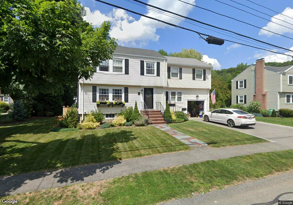
35 Howe Rd Unit 1Furnished Needham, MA 02492
Estimated Value: $1,578,000 - $1,712,000
4
Beds
3
Baths
2,198
Sq Ft
$752/Sq Ft
Est. Value
About This Home
This home is located at 35 Howe Rd Unit 1Furnished, Needham, MA 02492 and is currently estimated at $1,652,398, approximately $751 per square foot. 35 Howe Rd Unit 1Furnished is a home located in Norfolk County with nearby schools including Newman Elementary School, High Rock Middle School, and Pollard Middle School.
Ownership History
Date
Name
Owned For
Owner Type
Purchase Details
Closed on
May 18, 2015
Sold by
Blau Curtis E and Bayview Loan Servicing
Bought by
60-62 Litchfield St Llc
Current Estimated Value
Home Financials for this Owner
Home Financials are based on the most recent Mortgage that was taken out on this home.
Original Mortgage
$520,000
Interest Rate
3.69%
Mortgage Type
Purchase Money Mortgage
Purchase Details
Closed on
May 16, 2005
Sold by
Raphael Carol
Bought by
Blau Curtis E
Create a Home Valuation Report for This Property
The Home Valuation Report is an in-depth analysis detailing your home's value as well as a comparison with similar homes in the area
Home Values in the Area
Average Home Value in this Area
Purchase History
| Date | Buyer | Sale Price | Title Company |
|---|---|---|---|
| 60-62 Litchfield St Llc | $650,000 | -- | |
| 60-62 Litchfield St Llc | $650,000 | -- | |
| Blau Curtis E | $756,500 | -- | |
| Blau Curtis E | $756,500 | -- |
Source: Public Records
Mortgage History
| Date | Status | Borrower | Loan Amount |
|---|---|---|---|
| Open | Blau Curtis E | $741,600 | |
| Closed | 60-62 Litchfield St Llc | $520,000 |
Source: Public Records
Tax History Compared to Growth
Tax History
| Year | Tax Paid | Tax Assessment Tax Assessment Total Assessment is a certain percentage of the fair market value that is determined by local assessors to be the total taxable value of land and additions on the property. | Land | Improvement |
|---|---|---|---|---|
| 2025 | $14,954 | $1,410,800 | $795,700 | $615,100 |
| 2024 | $12,714 | $1,015,500 | $574,100 | $441,400 |
| 2023 | $12,752 | $977,900 | $574,100 | $403,800 |
| 2022 | $12,036 | $900,200 | $512,600 | $387,600 |
| 2021 | $11,730 | $900,200 | $512,600 | $387,600 |
| 2020 | $11,477 | $918,900 | $512,500 | $406,400 |
| 2019 | $10,746 | $867,300 | $465,900 | $401,400 |
| 2018 | $10,304 | $867,300 | $465,900 | $401,400 |
| 2017 | $9,713 | $816,900 | $465,900 | $351,000 |
| 2016 | $9,470 | $820,600 | $465,900 | $354,700 |
| 2015 | $9,265 | $820,600 | $465,900 | $354,700 |
| 2014 | $8,702 | $747,600 | $405,100 | $342,500 |
Source: Public Records
Map
Nearby Homes
- 29 Tolman St
- 34 Pershing Rd
- 98 Great Plain Ave
- 100 Rosemary Way Unit 129
- 100 Rosemary Way Unit 324
- 193 Garden St
- 445 Hillside Ave
- 3 Crescent Rd
- 24 Deerfield Rd
- 35 Andrea Cir
- 37 Carleton Dr
- 46 Lincoln Rd
- 12 Hill St
- 379 Hunnewell St Unit 379
- 98 Hunnewell St
- 400 Hunnewell St Unit 103
- 287 High Rock St
- 39 Mark Lee Rd
- 93 Seaver St
- 443 Central Ave
- 35 Howe Rd
- 27 Howe Rd
- 29 Fuller Brook Ave
- 21 Howe Rd
- 36 Howe Rd
- 35 Fuller Brook Ave
- 28 Howe Rd
- 22 Fuller Brook Ave
- 99 Mackintosh Ave
- 22 Howe Rd
- 74 N Hill Ave
- 93 Mackintosh Ave
- 15 Howe Rd
- 41 Fuller Brook Ave
- 14 Fuller Brook Ave
- 62 N Hill Ave
- 56 N Hill Ave
- 40 Fuller Brook Ave
- 85 Mackintosh Ave
- 1585 Great Plain Ave