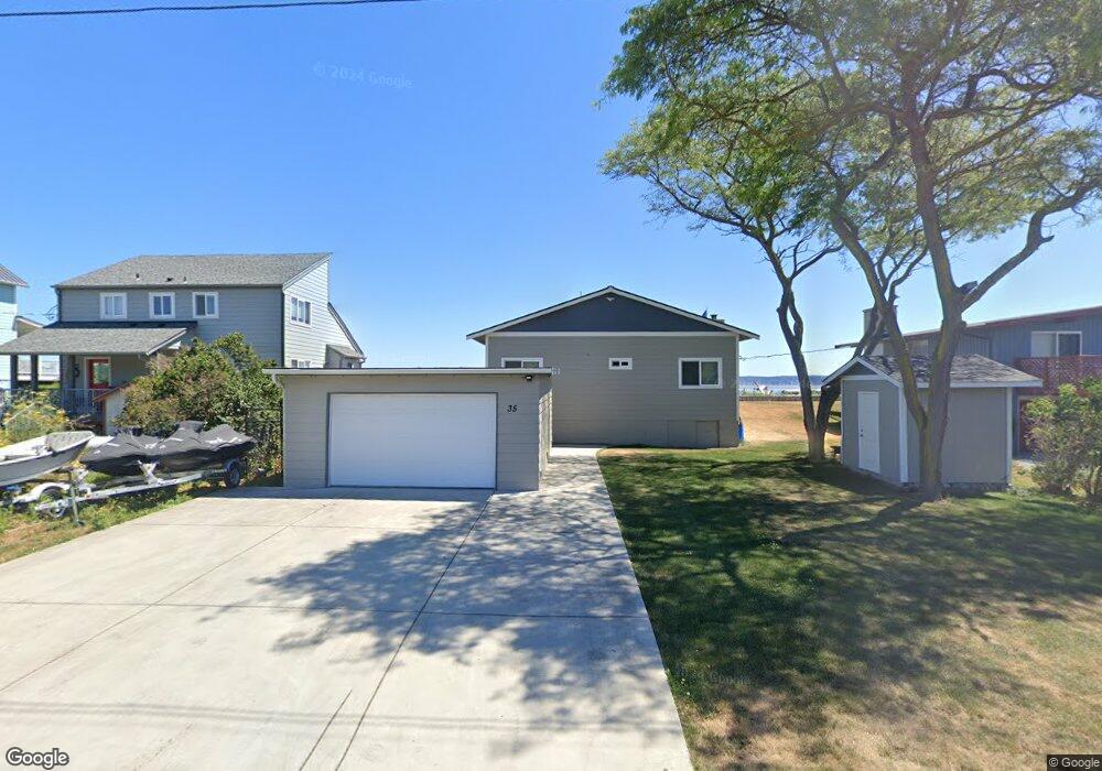
35 Iverson Rd Camano Island, WA 98282
Estimated Value: $847,000 - $1,162,000
--
Bed
--
Bath
858
Sq Ft
$1,161/Sq Ft
Est. Value
About This Home
This home is located at 35 Iverson Rd, Camano Island, WA 98282 and is currently estimated at $995,837, approximately $1,160 per square foot. 35 Iverson Rd is a home with nearby schools including Utsalady Elementary School, Port Susan Middle School, and Stanwood High School.
Ownership History
Date
Name
Owned For
Owner Type
Purchase Details
Closed on
Mar 5, 2018
Sold by
Dire Mike
Bought by
Bissell Marjorie Ann and Kirkpatrick Gary L
Current Estimated Value
Purchase Details
Closed on
Mar 16, 2012
Sold by
Lawrence Paul Amund
Bought by
Lawrence Paul Amund
Purchase Details
Closed on
Aug 10, 2009
Sold by
Clark Peter L
Bought by
Lawrence Dawn Whitehead and Clark Dawn L
Purchase Details
Closed on
Aug 3, 2009
Sold by
Bissell Marjorie Ann and Whitehead Marjorie Ann
Bought by
Clark Peter L and Lawrence Dawn Whitehead
Create a Home Valuation Report for This Property
The Home Valuation Report is an in-depth analysis detailing your home's value as well as a comparison with similar homes in the area
Home Values in the Area
Average Home Value in this Area
Purchase History
| Date | Buyer | Sale Price | Title Company |
|---|---|---|---|
| Bissell Marjorie Ann | -- | Accommodation | |
| Lawrence Paul Amund | -- | None Available | |
| Lawrence Dawn Whitehead | -- | None Available | |
| Clark Peter L | -- | None Available | |
| Kirkpatrick John K | -- | None Available |
Source: Public Records
Tax History Compared to Growth
Tax History
| Year | Tax Paid | Tax Assessment Tax Assessment Total Assessment is a certain percentage of the fair market value that is determined by local assessors to be the total taxable value of land and additions on the property. | Land | Improvement |
|---|---|---|---|---|
| 2024 | $7,239 | $995,902 | $775,000 | $220,902 |
| 2023 | $7,239 | $938,622 | $715,000 | $223,622 |
| 2022 | $6,638 | $854,963 | $650,000 | $204,963 |
| 2021 | $6,088 | $712,395 | $525,000 | $187,395 |
| 2020 | $5,651 | $632,226 | $450,000 | $182,226 |
| 2019 | $4,461 | $578,815 | $450,000 | $128,815 |
| 2018 | $4,811 | $456,041 | $375,000 | $81,041 |
| 2017 | $4,114 | $456,701 | $375,000 | $81,701 |
| 2016 | $4,122 | $433,018 | $350,000 | $83,018 |
| 2015 | -- | $417,476 | $350,000 | $67,476 |
| 2013 | -- | $419,548 | $350,000 | $69,548 |
Source: Public Records
Map
Nearby Homes
- 251 Goodrich Rd
- 230 Heather Dr
- 362 N Sunrise Blvd
- 0 E Shumway Rd
- 244 David St
- 245 David St
- 105 N Sunrise Blvd
- 335 Heather Dr
- 355 Selkirk Dr
- 289 E Driftwood Shores Rd
- 269 E Lochwood Dr
- 302 Melrose Dr
- 474 Stirling Dr
- 578 N Sundin Dr
- 552 Sundin Dr
- 566 Sundin Dr
- 169 Driftwood Shores Rd
- 446 Lehman Dr
- 501 S Vesper Way
- 230 Rocky Mountain High Rd