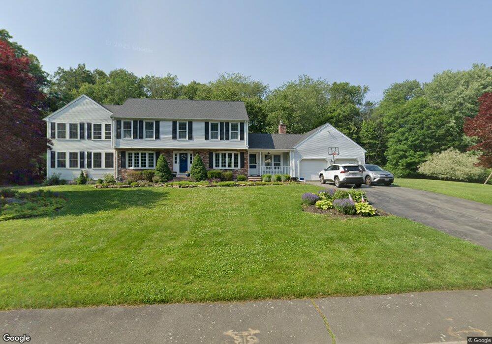
35 King Arthur Rd North Easton, MA 02356
Estimated Value: $845,000 - $1,074,000
4
Beds
4
Baths
2,330
Sq Ft
$408/Sq Ft
Est. Value
About This Home
This home is located at 35 King Arthur Rd, North Easton, MA 02356 and is currently estimated at $951,328, approximately $408 per square foot. 35 King Arthur Rd is a home located in Bristol County with nearby schools including Easton Middle School.
Ownership History
Date
Name
Owned For
Owner Type
Purchase Details
Closed on
May 1, 2018
Sold by
Wright Paul E and Wright Mary A
Bought by
Stewart Robert J and Stewart Samantha
Current Estimated Value
Home Financials for this Owner
Home Financials are based on the most recent Mortgage that was taken out on this home.
Original Mortgage
$508,500
Outstanding Balance
$427,722
Interest Rate
3.63%
Mortgage Type
Adjustable Rate Mortgage/ARM
Estimated Equity
$523,606
Purchase Details
Closed on
Oct 20, 2005
Sold by
Gray Kathleen V and Gray Richard W
Bought by
Wright Mary A and Wright Paul E
Home Financials for this Owner
Home Financials are based on the most recent Mortgage that was taken out on this home.
Original Mortgage
$359,650
Interest Rate
5.72%
Mortgage Type
Purchase Money Mortgage
Create a Home Valuation Report for This Property
The Home Valuation Report is an in-depth analysis detailing your home's value as well as a comparison with similar homes in the area
Home Values in the Area
Average Home Value in this Area
Purchase History
| Date | Buyer | Sale Price | Title Company |
|---|---|---|---|
| Stewart Robert J | $565,000 | -- | |
| Stewart Robert J | $565,000 | -- | |
| Wright Mary A | $580,000 | -- | |
| Wright Mary A | $580,000 | -- |
Source: Public Records
Mortgage History
| Date | Status | Borrower | Loan Amount |
|---|---|---|---|
| Open | Stewart Robert J | $508,500 | |
| Closed | Stewart Robert J | $508,500 | |
| Previous Owner | Wright Mary A | $359,650 | |
| Previous Owner | Wright Mary A | $30,000 |
Source: Public Records
Tax History Compared to Growth
Tax History
| Year | Tax Paid | Tax Assessment Tax Assessment Total Assessment is a certain percentage of the fair market value that is determined by local assessors to be the total taxable value of land and additions on the property. | Land | Improvement |
|---|---|---|---|---|
| 2025 | $9,960 | $798,100 | $420,400 | $377,700 |
| 2024 | $9,840 | $737,100 | $371,200 | $365,900 |
| 2023 | $9,863 | $676,000 | $361,500 | $314,500 |
| 2022 | $9,219 | $599,000 | $295,800 | $303,200 |
| 2021 | $8,596 | $555,300 | $270,200 | $285,100 |
| 2020 | $8,341 | $542,300 | $265,200 | $277,100 |
| 2019 | $8,733 | $547,200 | $263,000 | $284,200 |
| 2018 | $8,586 | $529,700 | $263,000 | $266,700 |
| 2017 | $8,308 | $512,200 | $263,000 | $249,200 |
| 2016 | $8,150 | $503,400 | $265,200 | $238,200 |
| 2015 | $7,625 | $454,400 | $216,200 | $238,200 |
| 2014 | $7,674 | $460,900 | $225,600 | $235,300 |
Source: Public Records
Map
Nearby Homes
- 30 King Arthur Rd
- 10 Matthew Cir
- 17 Gaslight Ln
- 531 Foundry St Unit E
- 531 Foundry St Unit D
- 531 Foundry St Unit A
- 531 Foundry St Unit C
- 555 Foundry St Unit B
- 23 Cutter Dr
- 20 Coach Rd
- Starling Plan at Sawmill Village
- Mallard Plan at Sawmill Village
- Goldfinch Plan at Sawmill Village
- Falcon Plan at Sawmill Village
- Cardinal Plan at Sawmill Village
- Sparrow Plan at Sawmill Village
- 3 Coach Rd
- 64 South St
- 1 Newell Cir
- 441 Foundry St
- 6 Merlin Dr
- 26 Talcott Rd Unit 26
- 36 King Arthur Rd
- 31 King Arthur Rd
- 40 King Arthur Rd
- 31 Talcott Rd
- 29 Talcott Rd Unit 29
- 2 Merlin Dr
- 25 Talcott Rd Unit 25
- 46 King Arthur Rd
- 27 Talcott Rd Unit 27
- 47 King Arthur Rd
- 23 Talcott Rd Unit 23
- 20 Talcott Rd Unit 20
- 24 Talcott Rd Unit 24
- 27 King Arthur Rd
- 7 Merlin Dr
- 23 Guinevere Rd
- 19 Talcott Rd Unit 19
- 19 Guinevere Rd