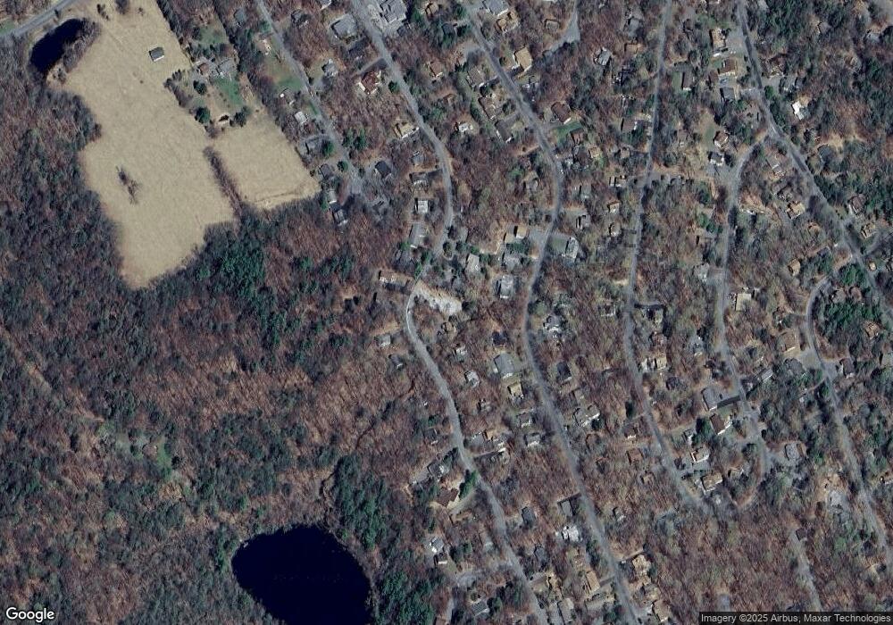
35 Lakeland Dr Unit R Lake Ariel, PA 18436
Estimated Value: $283,000 - $539,000
3
Beds
2
Baths
1,668
Sq Ft
$258/Sq Ft
Est. Value
About This Home
This home is located at 35 Lakeland Dr Unit R, Lake Ariel, PA 18436 and is currently estimated at $430,756, approximately $258 per square foot. 35 Lakeland Dr Unit R is a home located in Wayne County with nearby schools including Western Wayne High School and Canaan Christian Academy.
Ownership History
Date
Name
Owned For
Owner Type
Purchase Details
Closed on
Jan 23, 2013
Sold by
Federal Home Loan Mortgage Corporation
Bought by
Senior Brian and Senior Serena
Current Estimated Value
Home Financials for this Owner
Home Financials are based on the most recent Mortgage that was taken out on this home.
Original Mortgage
$160,800
Outstanding Balance
$112,222
Interest Rate
3.45%
Mortgage Type
New Conventional
Estimated Equity
$318,534
Purchase Details
Closed on
Nov 1, 2005
Sold by
Miceli John and Miceli Marie Ann
Bought by
Vitale Joan I and Loch Cathy E
Home Financials for this Owner
Home Financials are based on the most recent Mortgage that was taken out on this home.
Original Mortgage
$53,700
Interest Rate
5.85%
Mortgage Type
Seller Take Back
Create a Home Valuation Report for This Property
The Home Valuation Report is an in-depth analysis detailing your home's value as well as a comparison with similar homes in the area
Home Values in the Area
Average Home Value in this Area
Purchase History
| Date | Buyer | Sale Price | Title Company |
|---|---|---|---|
| Senior Brian | $201,000 | None Available | |
| Vitale Joan I | $268,500 | None Available |
Source: Public Records
Mortgage History
| Date | Status | Borrower | Loan Amount |
|---|---|---|---|
| Open | Senior Brian | $160,800 | |
| Previous Owner | Vitale Joan I | $53,700 |
Source: Public Records
Tax History Compared to Growth
Tax History
| Year | Tax Paid | Tax Assessment Tax Assessment Total Assessment is a certain percentage of the fair market value that is determined by local assessors to be the total taxable value of land and additions on the property. | Land | Improvement |
|---|---|---|---|---|
| 2025 | $4,201 | $288,400 | $126,800 | $161,600 |
| 2024 | $4,010 | $288,400 | $126,800 | $161,600 |
| 2023 | $5,620 | $288,400 | $126,800 | $161,600 |
| 2022 | $4,110 | $189,600 | $63,200 | $126,400 |
| 2021 | $4,037 | $189,600 | $63,200 | $126,400 |
| 2020 | $4,026 | $189,600 | $63,200 | $126,400 |
| 2019 | $3,777 | $189,600 | $63,200 | $126,400 |
| 2018 | $3,703 | $189,600 | $63,200 | $126,400 |
| 2017 | $867 | $189,600 | $63,200 | $126,400 |
| 2016 | $3,500 | $189,600 | $63,200 | $126,400 |
| 2014 | -- | $189,600 | $63,200 | $126,400 |
Source: Public Records
Map
Nearby Homes
- 0 Fernwood Rd Unit 24188036
- 1874 Windemere Ln
- LOT 210 Polaris Way
- 68 Underwood Ln
- 198 Lake Rd
- 278 N Gate
- 2 Commanche Cir
- 0 Easton Turnpike Unit 755405
- 0 Easton Turnpike Unit PM-131115
- 182 Bob Black Rd
- 1003 Lake Ariel Hwy
- 1838 Lake Ariel Hwy
- 111 E Island Ln
- 0 Maplewood Rd Unit GSBSC254402
- 0 Maplewood Rd Unit PWBPW251122
- 128 Rosebank Rd
- 0 Keystone Rd
- 150 Shafran Dr
- 297 E Shore Dr
- 1 Mountain Crest Dr
- 947 the Hideout
- 949 the Hideout
- 229 Wallenpaupack Lake Estates
- 72 Wallenpaupack Dr
- 164 Gravity Rd
- 962 the Hideout
- 932 the Hideout
- 970 the Hideout
- 46 W Shore Dr
- 2073 Mount Cobb Rd
- 1266 Fernwood Rd
- 241 Mountainview Dr
- 1190 Fernwood Rd
- 1190 Fernwood Rd
- 1190 Fernwood Rd
- 1190 Fernwood Rd
- 1184 Fernwood Rd
- 113 Chivers Rd
- 1175 Fernwood Rd
- 1286 Fernwood Rd
