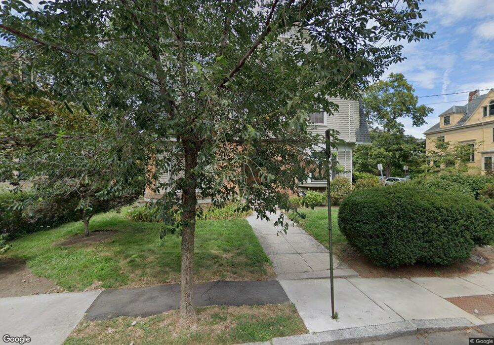
35 Langdon St Cambridge, MA 02138
Neighborhood Nine NeighborhoodEstimated Value: $3,043,000 - $3,747,000
4
Beds
3
Baths
3,033
Sq Ft
$1,077/Sq Ft
Est. Value
About This Home
This home is located at 35 Langdon St, Cambridge, MA 02138 and is currently estimated at $3,266,314, approximately $1,076 per square foot. 35 Langdon St is a home located in Middlesex County with nearby schools including St Peter School and Saint Theresa School.
Ownership History
Date
Name
Owned For
Owner Type
Purchase Details
Closed on
Jul 20, 2016
Sold by
Hunt Robert C and Winter Irene J
Bought by
Langdon Street Rt
Current Estimated Value
Purchase Details
Closed on
Jul 12, 1989
Sold by
Mcgrath Mark
Bought by
Hunt Robert C
Create a Home Valuation Report for This Property
The Home Valuation Report is an in-depth analysis detailing your home's value as well as a comparison with similar homes in the area
Home Values in the Area
Average Home Value in this Area
Purchase History
| Date | Buyer | Sale Price | Title Company |
|---|---|---|---|
| Langdon Street Rt | -- | -- | |
| Hunt Robert C | $750,000 | -- | |
| Langdon Street Rt | -- | -- | |
| Hunt Robert C | $750,000 | -- |
Source: Public Records
Mortgage History
| Date | Status | Borrower | Loan Amount |
|---|---|---|---|
| Previous Owner | Hunt Robert C | $304,000 | |
| Previous Owner | Hunt Robert C | $125,000 |
Source: Public Records
Tax History Compared to Growth
Tax History
| Year | Tax Paid | Tax Assessment Tax Assessment Total Assessment is a certain percentage of the fair market value that is determined by local assessors to be the total taxable value of land and additions on the property. | Land | Improvement |
|---|---|---|---|---|
| 2025 | $20,309 | $3,198,200 | $1,259,000 | $1,939,200 |
| 2024 | $18,605 | $3,142,700 | $1,312,100 | $1,830,600 |
| 2023 | $17,119 | $2,921,300 | $1,338,600 | $1,582,700 |
| 2022 | $14,627 | $2,665,300 | $1,279,600 | $1,385,700 |
| 2021 | $12,540 | $2,500,300 | $1,255,500 | $1,244,800 |
| 2020 | $13,633 | $2,370,900 | $1,191,800 | $1,179,100 |
| 2019 | $13,322 | $2,242,700 | $1,166,300 | $1,076,400 |
| 2018 | $10,309 | $2,134,400 | $1,107,700 | $1,026,700 |
| 2017 | $13,090 | $2,017,000 | $1,056,600 | $960,400 |
| 2016 | $12,518 | $1,790,900 | $914,000 | $876,900 |
| 2015 | $12,386 | $1,583,900 | $800,700 | $783,200 |
| 2014 | $12,418 | $1,481,900 | $709,300 | $772,600 |
Source: Public Records
Map
Nearby Homes
- 9 Chauncy St Unit 61
- 69A Walker St Unit A
- 1600 Massachusetts Ave Unit 404
- 13 Mellen St Unit Front
- 31-33 Mellen St
- 50 Follen St Unit 505
- 50 Follen St Unit 109
- 35 Mellen St
- 37 Mellen St
- 44 Garden St
- 43 Linnaean St Unit 42
- 52 Garden St Unit B2
- 72 Oxford St Unit 72
- 72 Oxford St
- 74 Oxford St
- 74 Oxford St Unit 3
- 22 Concord Ave Unit 10
- 202 Garden St
- 22 Agassiz St
- 12 Berkeley St
- 35 Langdon St
- 35 Langdon St Unit 6
- 35 Langdon St Unit 14
- 14 Rutland St
- 14 Rutland St
- 14 Rutland St Unit 14
- 14 Rutland St Unit 3
- 14 Rutland St Unit 2
- 14 Rutland St Unit 1
- 37 Langdon St
- 37 Langdon St Unit 3
- 37 Langdon St
- 37 Langdon St Unit 5
- 37 Langdon St Unit 2
- 37 Langdon St Unit 1
- 37 Langdon St Unit 4
- 19 Rutland St
- 19 Rutland St Unit A
- 43 Langdon St Unit 3
- 43 Langdon St Unit 2