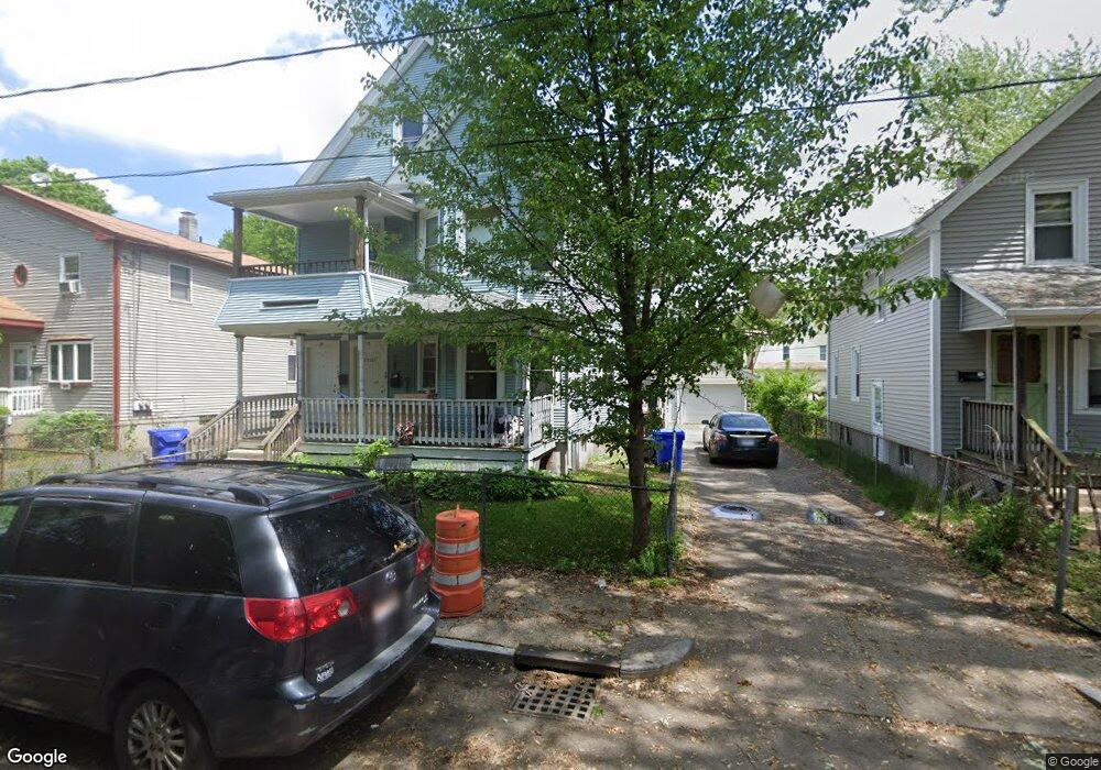
35 Lansing Place Unit 37 Springfield, MA 01108
Forest Park NeighborhoodEstimated Value: $310,633 - $424,000
8
Beds
2
Baths
3,177
Sq Ft
$121/Sq Ft
Est. Value
About This Home
This home is located at 35 Lansing Place Unit 37, Springfield, MA 01108 and is currently estimated at $385,658, approximately $121 per square foot. 35 Lansing Place Unit 37 is a home located in Hampden County with nearby schools including Sumner Avenue Elementary School, Forest Park Middle School, and High School Of Commerce.
Ownership History
Date
Name
Owned For
Owner Type
Purchase Details
Closed on
Mar 5, 2013
Sold by
Abdow George T and Abdow Michelle M
Bought by
Lar Rt and Abdow George T
Current Estimated Value
Purchase Details
Closed on
Oct 31, 2012
Sold by
Honorio Gudelia
Bought by
Abdow George T and Abdow Michelle M
Create a Home Valuation Report for This Property
The Home Valuation Report is an in-depth analysis detailing your home's value as well as a comparison with similar homes in the area
Home Values in the Area
Average Home Value in this Area
Purchase History
| Date | Buyer | Sale Price | Title Company |
|---|---|---|---|
| Lar Rt | -- | -- | |
| Abdow George T | $55,000 | -- |
Source: Public Records
Tax History
| Year | Tax Paid | Tax Assessment Tax Assessment Total Assessment is a certain percentage of the fair market value that is determined by local assessors to be the total taxable value of land and additions on the property. | Land | Improvement |
|---|---|---|---|---|
| 2025 | $4,132 | $263,500 | $24,800 | $238,700 |
| 2024 | $3,397 | $211,500 | $23,100 | $188,400 |
| 2023 | $3,354 | $196,700 | $22,000 | $174,700 |
| 2022 | $3,314 | $176,100 | $20,000 | $156,100 |
| 2021 | $3,158 | $167,100 | $18,200 | $148,900 |
| 2020 | $3,156 | $161,600 | $18,200 | $143,400 |
| 2019 | $2,716 | $138,000 | $18,200 | $119,800 |
| 2018 | $2,550 | $140,300 | $18,200 | $122,100 |
| 2017 | $2,550 | $129,700 | $14,600 | $115,100 |
| 2016 | $2,373 | $120,700 | $14,600 | $106,100 |
| 2015 | $2,311 | $117,500 | $14,600 | $102,900 |
Source: Public Records
Map
Nearby Homes
- 276 Dickinson St
- 8 Wilmont St
- 15-19 Litchfield St
- 305 Dickinson St
- 21 Bloomfield St
- 202 Oakland St
- 66 Fairfield St
- 11-15 Belmont Place
- 7-9 Glendell Terrace
- 21 Continental St
- 99 Wilmont St
- 49 Euclid Ave
- 195 Orange St
- 264 Sumner Ave
- 95 Dickinson St
- 228 Belmont Ave
- 243 Orange St
- 21 Mountainview St
- 115 Pasadena St
- 23 Westernview St
- 41-43 Lansing Place
- 41 Lansing Place Unit 43
- 45 Lansing Place
- 47 Lansing Place
- 47 Lansing Place Unit 1
- 42 Kenwood Park
- 48 Kenwood Park
- 52 Kenwood Park
- 36 Kenwood Park
- 109 Oakland St
- 51 Lansing Place Unit 53
- 32 Kenwood Park
- 58 Kenwood Park
- 58 Kenwood Park Unit 1st floor
- 55-57 Lansing Place
- 55 Lansing Place Unit 57
- 28 Kenwood Park
- 131 Oakland St
- 62 Kenwood Park
- 59 Lansing Place Unit 61
Your Personal Tour Guide
Ask me questions while you tour the home.