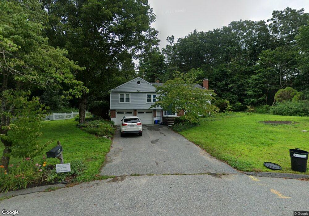
35 Lapham Rd Concord, MA 01742
Estimated Value: $1,143,000 - $1,329,000
About This Home
This home is located at 35 Lapham Rd, Concord, MA 01742 and is currently estimated at $1,208,947, approximately $602 per square foot. 35 Lapham Rd is a home located in Middlesex County with nearby schools including Thoreau Elementary School, Concord Middle School, and Concord Carlisle High School.
Ownership History
We collect this data history from publicly available records. To have your information removed, we recommend requesting removal directly through your county’s website.
Purchase Details
Home Financials for this Owner
Home Financials are based on the most recent Mortgage that was taken out on this home.Purchase Details
Purchase Details
Home Values in the Area
Average Home Value in this Area
Purchase History
We collect this data history from publicly available records. To have your information removed, we recommend requesting removal directly through your county’s website.
| Date | Buyer | Sale Price | Title Company |
|---|---|---|---|
| $641,500 | -- | ||
| $313,000 | -- | ||
| $263,500 | -- |
Mortgage History
We collect this data history from publicly available records. To have your information removed, we recommend requesting removal directly through your county’s website.
| Date | Status | Borrower | Loan Amount |
|---|---|---|---|
| Open | $405,000 | ||
| Closed | $405,000 | ||
| Closed | $407,500 |
Tax History
We collect this data history from publicly available records. To have your information removed, we recommend requesting removal directly through your county’s website.
| Year | Tax Paid | Tax Assessment Tax Assessment Total Assessment is a certain percentage of the fair market value that is determined by local assessors to be the total taxable value of land and additions on the property. | Land | Improvement |
|---|---|---|---|---|
| 2025 | $127 | $958,200 | $511,100 | $447,100 |
| 2024 | $12,102 | $921,700 | $511,100 | $410,600 |
| 2023 | $11,343 | $875,200 | $464,600 | $410,600 |
| 2022 | $10,468 | $709,200 | $371,600 | $337,600 |
| 2021 | $10,317 | $700,900 | $371,600 | $329,300 |
| 2020 | $9,715 | $682,700 | $371,600 | $311,100 |
| 2019 | $9,973 | $702,800 | $383,900 | $318,900 |
| 2018 | $9,430 | $659,900 | $352,300 | $307,600 |
| 2017 | $8,974 | $637,800 | $327,200 | $310,600 |
| 2016 | $9,041 | $649,500 | $327,200 | $322,300 |
| 2015 | $8,468 | $592,600 | $303,000 | $289,600 |
Map
- 449 Old Marlboro Rd
- 132 Cottage St
- 70 McCallar Ln
- 135 Williams Rd
- 102 Highland St
- 230 Harrington Ave
- 1547 Main St
- 21 Concord Greene Unit 8
- 14 Concord Greene Unit 8
- 189 Conant St Unit U-189
- 95 Conant St Unit 202
- 51 Damon St
- 26 Concord Greene Unit 3
- 3 Concord Greene Unit 3
- 56 Old Marlboro Rd
- 42 Sunnyside Ln
- 1732 Main St Unit 205
- 497 Old Road to 9 Acre Corner
- 1832 Main St
- 1814 Main St
- 21 Lapham Rd
- 34 Lapham Rd
- 544 Harrington Ave
- 22 Lapham Rd
- 33 Ministerial Dr
- 562 Harrington Ave
- 51 Ministerial Dr
- 524 Harrington Ave
- 574 Harrington Ave
- 534 Old Marlboro Rd
- 516 Old Marlboro Rd
- 545 Harrington Ave
- 594 Old Marlboro Rd
- 10 Ministerial Dr
- 65 Ministerial Dr
- 550 Old Marlboro Rd
- 561 Harrington Ave
- 6 Loring Rd
- 504 Old Marlboro Rd
- 52 Ministerial Dr
Ask me questions while you tour the home.