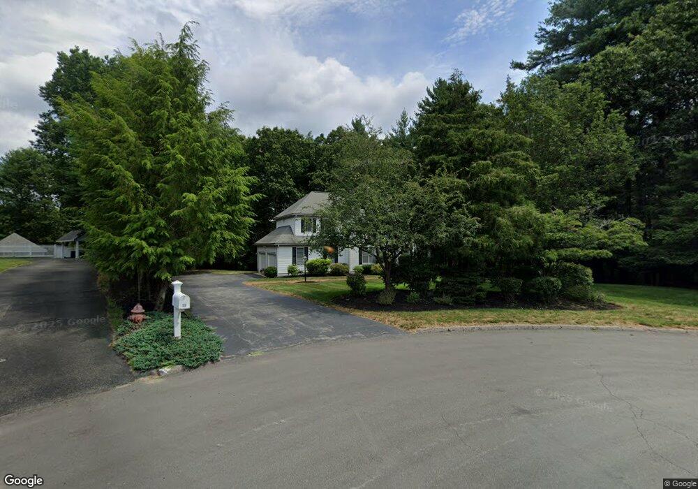
35 Laurel Ln Canton, MA 02021
Estimated Value: $1,017,624 - $1,193,000
4
Beds
3
Baths
2,691
Sq Ft
$405/Sq Ft
Est. Value
About This Home
This home is located at 35 Laurel Ln, Canton, MA 02021 and is currently estimated at $1,090,656, approximately $405 per square foot. 35 Laurel Ln is a home located in Norfolk County with nearby schools including Canton High School.
Create a Home Valuation Report for This Property
The Home Valuation Report is an in-depth analysis detailing your home's value as well as a comparison with similar homes in the area
Home Values in the Area
Average Home Value in this Area
Tax History
| Year | Tax Paid | Tax Assessment Tax Assessment Total Assessment is a certain percentage of the fair market value that is determined by local assessors to be the total taxable value of land and additions on the property. | Land | Improvement |
|---|---|---|---|---|
| 2025 | $9,837 | $994,600 | $382,500 | $612,100 |
| 2024 | $9,539 | $956,800 | $367,900 | $588,900 |
| 2023 | $9,176 | $868,100 | $367,900 | $500,200 |
| 2022 | $9,211 | $811,500 | $350,300 | $461,200 |
| 2021 | $8,961 | $734,500 | $318,300 | $416,200 |
| 2020 | $8,560 | $699,900 | $303,200 | $396,700 |
| 2019 | $8,484 | $684,200 | $275,600 | $408,600 |
| 2018 | $8,459 | $681,100 | $287,900 | $393,200 |
| 2017 | $8,606 | $672,900 | $282,200 | $390,700 |
| 2016 | $8,462 | $661,600 | $275,300 | $386,300 |
| 2015 | $8,254 | $643,800 | $267,300 | $376,500 |
Source: Public Records
Map
Nearby Homes
- 140 York St
- 5 Linden Glen Rd
- 79 Gold St
- 50 Indian Ln
- 106 Indian Ln
- 1831 Turnpike St
- 116 Indian Ln
- 902 Irving Rd Unit 902
- 232 Canton St Unit 308
- 232 Canton St Unit 104
- 195 High St
- 33 Michael Rd
- 43 Emily Jeffers Rd
- 555 Page St Unit 105
- 10 Michael Rd
- 888 Turnpike St
- 33 Kelly Way Unit 33
- 17 Mazzeo Dr
- 4 Franklin Square Unit 4F
- Lot 43 Pondview Ln
Your Personal Tour Guide
Ask me questions while you tour the home.