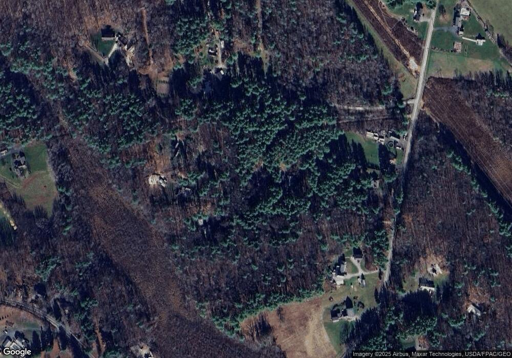
35 Log N Rock Rd Eliot, ME 03903
South Eliot NeighborhoodEstimated Value: $482,887 - $645,000
2
Beds
3
Baths
1,688
Sq Ft
$351/Sq Ft
Est. Value
About This Home
This home is located at 35 Log N Rock Rd, Eliot, ME 03903 and is currently estimated at $592,972, approximately $351 per square foot. 35 Log N Rock Rd is a home located in York County with nearby schools including Marshwood High School and Seacoast Waldorf School.
Create a Home Valuation Report for This Property
The Home Valuation Report is an in-depth analysis detailing your home's value as well as a comparison with similar homes in the area
Home Values in the Area
Average Home Value in this Area
Tax History Compared to Growth
Tax History
| Year | Tax Paid | Tax Assessment Tax Assessment Total Assessment is a certain percentage of the fair market value that is determined by local assessors to be the total taxable value of land and additions on the property. | Land | Improvement |
|---|---|---|---|---|
| 2024 | $3,557 | $300,200 | $128,200 | $172,000 |
| 2023 | $3,510 | $286,500 | $122,100 | $164,400 |
| 2022 | $3,366 | $278,200 | $122,100 | $156,100 |
| 2021 | $3,625 | $268,500 | $117,100 | $151,400 |
| 2020 | $3,428 | $244,500 | $112,000 | $132,500 |
| 2019 | $3,378 | $244,500 | $112,000 | $132,500 |
| 2018 | $3,304 | $244,500 | $112,000 | $132,500 |
| 2017 | $3,496 | $244,500 | $112,000 | $132,500 |
| 2016 | $3,435 | $244,500 | $112,000 | $132,500 |
| 2015 | $3,384 | $241,700 | $112,000 | $129,700 |
| 2014 | $3,335 | $241,700 | $112,000 | $129,700 |
| 2013 | $3,183 | $241,700 | $112,000 | $129,700 |
Source: Public Records
Map
Nearby Homes
- 1708 State Rd
- 18 Governor Hill Rd
- TBD Cedar Rd
- Lot 1 Cedar Tbd
- Lot 2 Cedar Tbd
- 10 Broadfields Rd
- 708 River Rd Unit 3
- 708 River Rd Unit 2
- 16 Imperial Dr
- 34 Imperial Dr
- 19 Heritage Dr
- 25 Heritage Dr
- 35 Marshwood Dr
- 82 Stacy Ln
- 0 Goodwin Rd Unit 1626810
- 25 Shore Ln
- 25 Fosters Dr
- 4 Shore Ln
- 46 Littlebrook Ln
- Slip B18 Little Bay