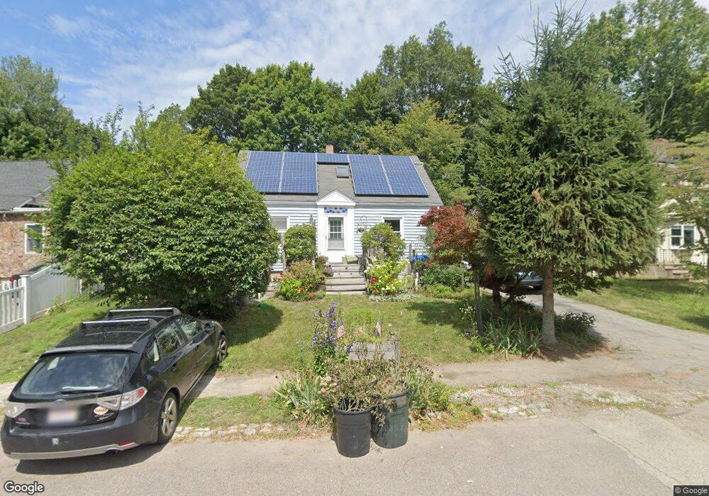
35 Lone Pine Path Weymouth, MA 02188
Weymouth Landing NeighborhoodEstimated Value: $535,074 - $583,000
3
Beds
1
Bath
1,272
Sq Ft
$445/Sq Ft
Est. Value
About This Home
This home is located at 35 Lone Pine Path, Weymouth, MA 02188 and is currently estimated at $565,769, approximately $444 per square foot. 35 Lone Pine Path is a home located in Norfolk County with nearby schools including Frederick C Murphy, Abigail Adams Middle School, and Weymouth Middle School Chapman.
Ownership History
Date
Name
Owned For
Owner Type
Purchase Details
Closed on
Jun 30, 1999
Sold by
Natale Mark C
Bought by
Abbott Marc and Abbott Sylvie C
Current Estimated Value
Home Financials for this Owner
Home Financials are based on the most recent Mortgage that was taken out on this home.
Original Mortgage
$132,000
Interest Rate
7.19%
Mortgage Type
Purchase Money Mortgage
Purchase Details
Closed on
Apr 28, 1995
Sold by
Mckenna Kevin
Bought by
Natale Mark C and Natale Angelina G
Purchase Details
Closed on
Aug 30, 1993
Sold by
Paone Extr Daryl F
Bought by
Mckenna Kevin
Create a Home Valuation Report for This Property
The Home Valuation Report is an in-depth analysis detailing your home's value as well as a comparison with similar homes in the area
Home Values in the Area
Average Home Value in this Area
Purchase History
| Date | Buyer | Sale Price | Title Company |
|---|---|---|---|
| Abbott Marc | $165,000 | -- | |
| Natale Mark C | $129,900 | -- | |
| Mckenna Kevin | $115,000 | -- |
Source: Public Records
Mortgage History
| Date | Status | Borrower | Loan Amount |
|---|---|---|---|
| Open | Mckenna Kevin | $130,000 | |
| Closed | Mckenna Kevin | $132,000 | |
| Previous Owner | Mckenna Kevin | $112,000 |
Source: Public Records
Tax History
| Year | Tax Paid | Tax Assessment Tax Assessment Total Assessment is a certain percentage of the fair market value that is determined by local assessors to be the total taxable value of land and additions on the property. | Land | Improvement |
|---|---|---|---|---|
| 2025 | $4,726 | $467,900 | $211,900 | $256,000 |
| 2024 | $4,579 | $445,900 | $201,800 | $244,100 |
| 2023 | $4,318 | $413,200 | $186,900 | $226,300 |
| 2022 | $4,224 | $368,600 | $173,000 | $195,600 |
| 2021 | $3,951 | $336,500 | $173,000 | $163,500 |
| 2020 | $3,757 | $315,200 | $173,000 | $142,200 |
| 2019 | $3,699 | $305,200 | $166,400 | $138,800 |
| 2018 | $3,618 | $289,400 | $158,400 | $131,000 |
| 2017 | $3,504 | $273,500 | $150,900 | $122,600 |
| 2016 | $3,419 | $267,100 | $145,100 | $122,000 |
| 2015 | $3,220 | $249,600 | $138,500 | $111,100 |
| 2014 | $3,072 | $231,000 | $128,900 | $102,100 |
Source: Public Records
Map
Nearby Homes
- 82 Lester Ln
- 107 Summer St
- 33 Congress St
- 15 Summer St
- 19 Vine St Unit 3
- 19 Vine St Unit 2
- 11 Richmond St
- 25 Richmond St
- 122 Washington St Unit Twenty-two
- 37 Lantern Ln
- 41 Lantern Ln
- 31 Doris Rd
- 501 Commerce Dr Unit 2310
- 501 Commerce Dr Unit 4308
- 46 Roosevelt Rd
- 116 Greenvale Ave
- 747 Middle St
- 300 Commercial St Unit 23
- 8 Tara Dr Unit 4
- 8 Tara Dr Unit 5
- 41 Lone Pine Path
- 29 Lone Pine Path
- 26 Briarwood Trail
- 47 Lone Pine Path
- 25 Lone Pine Path
- 30 Lone Pine Path
- 40 Lone Pine Path
- 53 Lone Pine Path
- 23 Briarwood Trail
- 36 Lone Pine Path
- 19 Lone Pine Path
- 46 Lone Pine Path
- 59 Lone Pine Path
- 20 Briarwood Trail
- 20 Lone Pine Path
- 50 Lone Pine Path
- 15 Lone Pine Path
- 65 Lone Pine Path
- 21 Briarwood Trail
- 35 Bayberry Ln
Your Personal Tour Guide
Ask me questions while you tour the home.