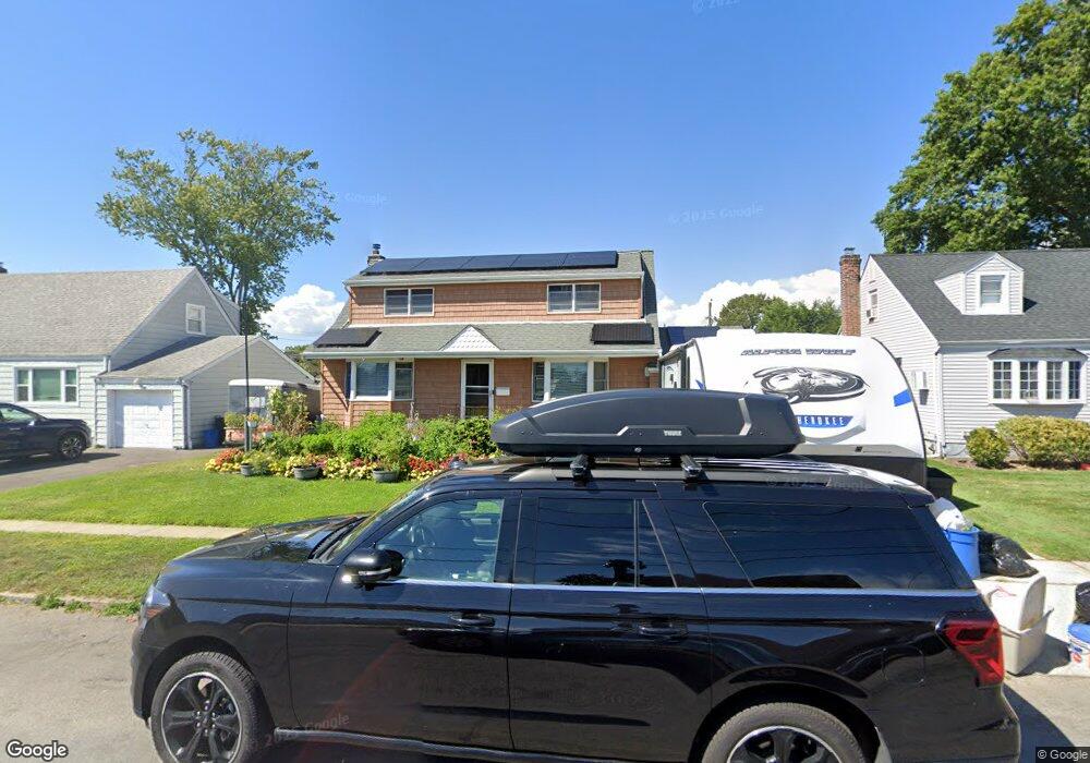
35 Maple Dr Lindenhurst, NY 11757
Estimated Value: $579,157 - $681,000
Studio
--
Bath
1,550
Sq Ft
$411/Sq Ft
Est. Value
About This Home
This home is located at 35 Maple Dr, Lindenhurst, NY 11757 and is currently estimated at $637,789, approximately $411 per square foot. 35 Maple Dr is a home located in Suffolk County with nearby schools including William Rall School, Lindenhurst Middle School, and Lindenhurst Senior High School.
Ownership History
Date
Name
Owned For
Owner Type
Purchase Details
Closed on
May 21, 2010
Sold by
Primm Robert P and Stanley Erin
Bought by
Primm Robert and Primm Erin
Current Estimated Value
Home Financials for this Owner
Home Financials are based on the most recent Mortgage that was taken out on this home.
Original Mortgage
$7,085
Interest Rate
4.82%
Mortgage Type
Purchase Money Mortgage
Purchase Details
Closed on
Jul 1, 2004
Sold by
Prossimo Rosemarie
Bought by
Primm Robert P and Stanley Erin
Create a Home Valuation Report for This Property
The Home Valuation Report is an in-depth analysis detailing your home's value as well as a comparison with similar homes in the area
Home Values in the Area
Average Home Value in this Area
Purchase History
| Date | Buyer | Sale Price | Title Company |
|---|---|---|---|
| Primm Robert | -- | -- | |
| Primm Robert P | $307,500 | Fidelity National Title Insu |
Source: Public Records
Mortgage History
| Date | Status | Borrower | Loan Amount |
|---|---|---|---|
| Previous Owner | Primm Robert | $7,085 |
Source: Public Records
Tax History
| Year | Tax Paid | Tax Assessment Tax Assessment Total Assessment is a certain percentage of the fair market value that is determined by local assessors to be the total taxable value of land and additions on the property. | Land | Improvement |
|---|---|---|---|---|
| 2024 | $11,768 | $3,350 | $330 | $3,020 |
| 2023 | $11,768 | $3,350 | $330 | $3,020 |
| 2022 | $10,068 | $3,350 | $330 | $3,020 |
| 2021 | $10,068 | $3,350 | $330 | $3,020 |
| 2020 | $10,590 | $3,350 | $330 | $3,020 |
| 2019 | $10,590 | $0 | $0 | $0 |
| 2018 | $9,998 | $3,350 | $330 | $3,020 |
| 2017 | $9,998 | $3,350 | $330 | $3,020 |
| 2016 | $10,013 | $3,350 | $330 | $3,020 |
| 2015 | -- | $3,350 | $330 | $3,020 |
| 2014 | -- | $3,350 | $330 | $3,020 |
Source: Public Records
Map
Nearby Homes
Your Personal Tour Guide
Ask me questions while you tour the home.