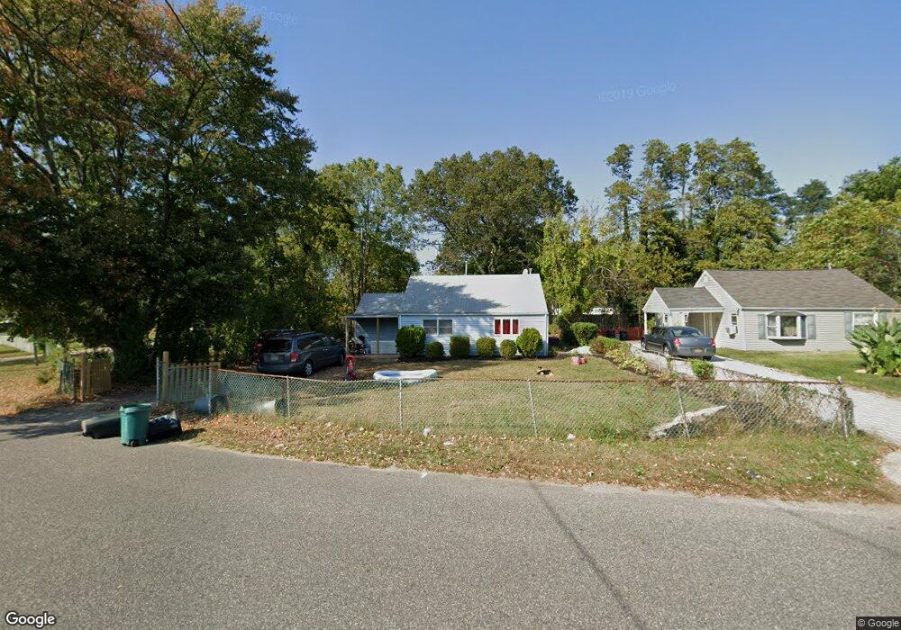
35 Mcgowan Ln Central Islip, NY 11722
Estimated Value: $492,000 - $646,000
Studio
--
Bath
816
Sq Ft
$690/Sq Ft
Est. Value
About This Home
This home is located at 35 Mcgowan Ln, Central Islip, NY 11722 and is currently estimated at $563,307, approximately $690 per square foot. 35 Mcgowan Ln is a home located in Suffolk County with nearby schools including Anthony Alfano Elementary School and Central Islip Senior High School.
Ownership History
Date
Name
Owned For
Owner Type
Purchase Details
Closed on
Nov 21, 2019
Sold by
Munor Management Corp
Bought by
Munor Partners De Llc
Current Estimated Value
Purchase Details
Closed on
Dec 17, 2002
Sold by
Driscoll James J and Driscoll Kathleen S
Bought by
Barksdale Sheilah
Home Financials for this Owner
Home Financials are based on the most recent Mortgage that was taken out on this home.
Original Mortgage
$130,800
Interest Rate
6.08%
Mortgage Type
FHA
Create a Home Valuation Report for This Property
The Home Valuation Report is an in-depth analysis detailing your home's value as well as a comparison with similar homes in the area
Home Values in the Area
Average Home Value in this Area
Purchase History
| Date | Buyer | Sale Price | Title Company |
|---|---|---|---|
| Munor Partners De Llc | -- | None Available | |
| Barksdale Sheilah | $131,900 | Lawyers Title Insurance Corp |
Source: Public Records
Mortgage History
| Date | Status | Borrower | Loan Amount |
|---|---|---|---|
| Previous Owner | Barksdale Sheilah | $130,800 |
Source: Public Records
Tax History
| Year | Tax Paid | Tax Assessment Tax Assessment Total Assessment is a certain percentage of the fair market value that is determined by local assessors to be the total taxable value of land and additions on the property. | Land | Improvement |
|---|---|---|---|---|
| 2024 | -- | $25,600 | $5,600 | $20,000 |
| 2023 | -- | $25,600 | $5,600 | $20,000 |
| 2022 | $6,355 | $25,600 | $5,600 | $20,000 |
| 2021 | $6,355 | $25,600 | $5,600 | $20,000 |
| 2020 | $7,284 | $25,600 | $5,600 | $20,000 |
| 2019 | $6,355 | $0 | $0 | $0 |
| 2018 | -- | $25,600 | $5,600 | $20,000 |
| 2017 | $6,428 | $25,600 | $5,600 | $20,000 |
| 2016 | $6,375 | $25,600 | $5,600 | $20,000 |
| 2015 | -- | $25,600 | $5,600 | $20,000 |
| 2014 | -- | $25,600 | $5,600 | $20,000 |
Source: Public Records
Map
Nearby Homes
- 11 Mcgowan Ln
- 0 Joshuas Path Unit KEY922069
- 1010 Motor Pkwy
- 61 Wheeler Rd
- 1932 Joshuas Path
- 22 E Halley Ln
- 18 Hilliard Ave
- 11 Marlo Ln
- 90 Bushwick Ave
- 288 Feller Dr
- 34 Hilliard Ave
- 13 Dietz St
- 57 Adams Rd Unit 1H
- 30 Oakdale Ave
- 41 Brightside Ave
- 153 Calebs Path
- 23 Ridge Ct
- 24 Ridge Ct
- 155 Calebs Path
- 110 Brightside Ave