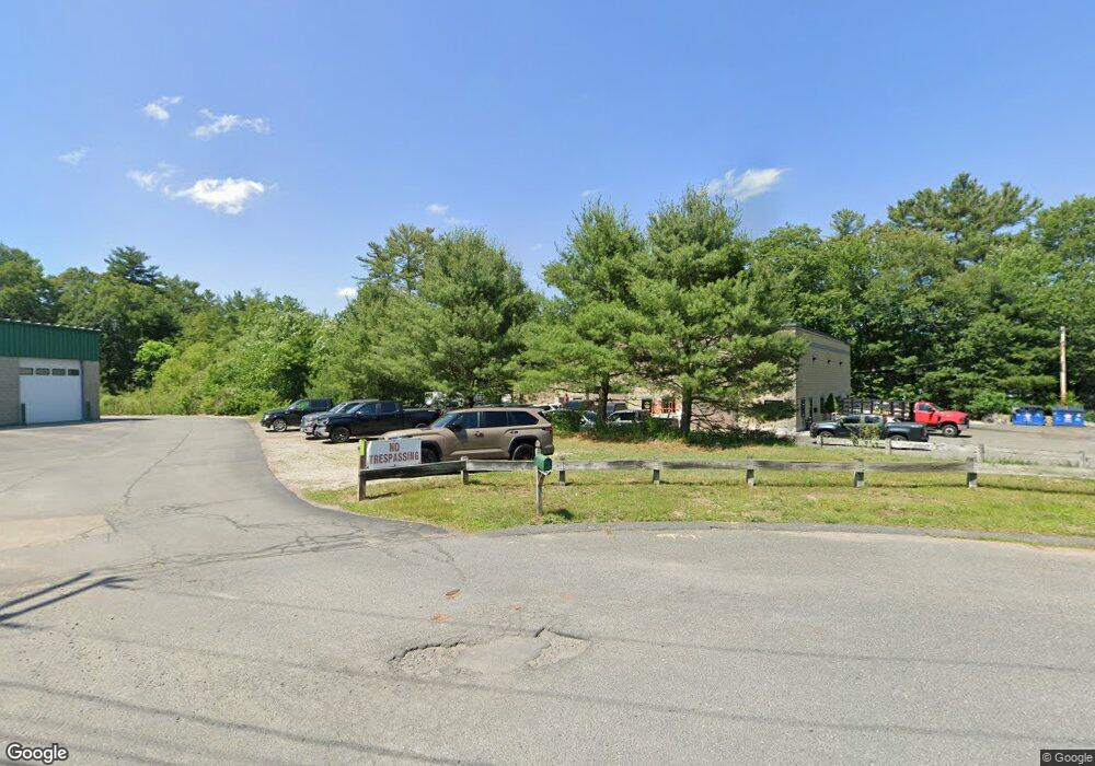
35 Merchants Dr Unit C Walpole, MA 02081
Estimated Value: $744,753
--
Bed
--
Bath
5,950
Sq Ft
$125/Sq Ft
Est. Value
About This Home
This home is located at 35 Merchants Dr Unit C, Walpole, MA 02081 and is currently estimated at $744,753, approximately $125 per square foot. 35 Merchants Dr Unit C is a home located in Norfolk County with nearby schools including Elm Street School, Eleanor N. Johnson Middle School, and Walpole High School.
Ownership History
Date
Name
Owned For
Owner Type
Purchase Details
Closed on
Sep 19, 2018
Sold by
Jmls Llc
Bought by
Aaron Williams Llc
Current Estimated Value
Home Financials for this Owner
Home Financials are based on the most recent Mortgage that was taken out on this home.
Original Mortgage
$500,000
Outstanding Balance
$435,131
Interest Rate
4.5%
Mortgage Type
Commercial
Estimated Equity
$309,622
Create a Home Valuation Report for This Property
The Home Valuation Report is an in-depth analysis detailing your home's value as well as a comparison with similar homes in the area
Home Values in the Area
Average Home Value in this Area
Purchase History
| Date | Buyer | Sale Price | Title Company |
|---|---|---|---|
| Aaron Williams Llc | $500,000 | -- |
Source: Public Records
Mortgage History
| Date | Status | Borrower | Loan Amount |
|---|---|---|---|
| Open | Aaron Williams Llc | $500,000 |
Source: Public Records
Tax History Compared to Growth
Tax History
| Year | Tax Paid | Tax Assessment Tax Assessment Total Assessment is a certain percentage of the fair market value that is determined by local assessors to be the total taxable value of land and additions on the property. | Land | Improvement |
|---|---|---|---|---|
| 2025 | $10,662 | $614,900 | $334,000 | $280,900 |
| 2024 | $10,797 | $603,200 | $325,400 | $277,800 |
| 2023 | $10,925 | $593,100 | $310,800 | $282,300 |
| 2022 | $10,575 | $550,200 | $287,800 | $262,400 |
| 2021 | $0 | $525,600 | $269,100 | $256,500 |
| 2020 | $0 | $522,500 | $269,100 | $253,400 |
| 2019 | $0 | $508,200 | $261,000 | $247,200 |
| 2018 | $0 | $490,000 | $251,300 | $238,700 |
| 2017 | $0 | $479,000 | $246,500 | $232,500 |
| 2016 | -- | $459,500 | $235,300 | $224,200 |
| 2015 | -- | $440,000 | $224,100 | $215,900 |
| 2014 | -- | $429,200 | $217,400 | $211,800 |
Source: Public Records
Map
Nearby Homes
- 13 Sandtrap Cir Unit 14
- 11 Sandtrap Cir Unit 15
- 20 Sandtrap Cir Unit 4
- 18 Sandtrap Cir Unit 3
- 17 Sandtrap Cir Unit 12
- 15 Sandtrap Cir Unit 13
- 10 Sandtrap Cir Unit 2
- 31 Sandtrap Cir Unit 5
- 14 Tiger Terrace Unit 29
- 16 Magpie Cir Unit 16
- 137 Clear Pond Dr
- 127 Clear Pond Dr
- 18 Teal Cir
- 24 Pelican Dr
- 1391 Main St Unit 304
- 1391 Main St Unit 208
- 1391 Main St Unit 305
- 1391 Main St Unit 308
- 8 Autumn Ln
- 12 Timberline Dr Unit 28
- 35 Merchants Dr
- 220 Norfolk St
- 5 Merchants Dr
- 30 Merchants Dr
- 252 Norfolk St
- 20 Merchants Dr
- 6 Merchants Drive Lot 6
- 10 Merchants Dr
- 231 Norfolk St
- 200 Norfolk St
- 200 Norfolk St Unit B
- 200 Norfolk St Unit 1
- 19 Forrest Rd
- 480 West St
- 8 Crane Rd
- 4 Crane Rd
- 475 West St
- 22 Forrest Rd
- 7 Crane Rd
- 3 Crane Rd