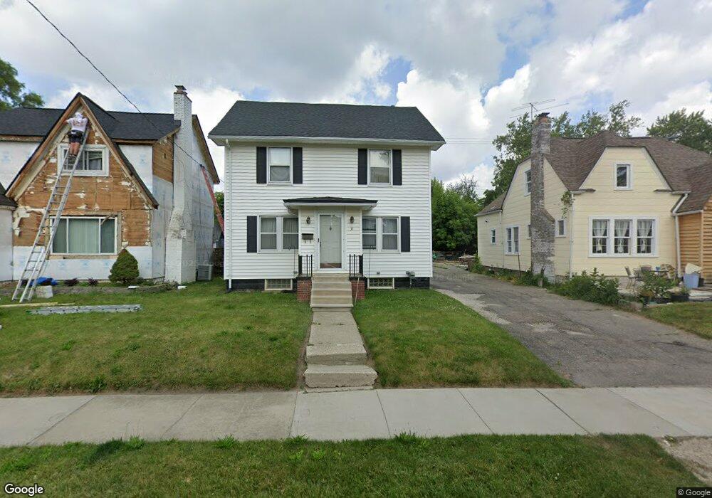
35 Mohawk Rd Pontiac, MI 48341
Estimated Value: $163,000 - $225,000
4
Beds
1
Bath
1,598
Sq Ft
$122/Sq Ft
Est. Value
About This Home
This home is located at 35 Mohawk Rd, Pontiac, MI 48341 and is currently estimated at $194,267, approximately $121 per square foot. 35 Mohawk Rd is a home located in Oakland County with nearby schools including Walt Whitman Elementary School, Pontiac Middle School, and Pontiac High School.
Ownership History
Date
Name
Owned For
Owner Type
Purchase Details
Closed on
May 14, 2004
Sold by
Long Michael A
Bought by
Marion Jaycee
Current Estimated Value
Home Financials for this Owner
Home Financials are based on the most recent Mortgage that was taken out on this home.
Original Mortgage
$145,847
Interest Rate
6.37%
Mortgage Type
FHA
Purchase Details
Closed on
Oct 29, 1999
Sold by
Carter Angela
Bought by
Long Michael A
Create a Home Valuation Report for This Property
The Home Valuation Report is an in-depth analysis detailing your home's value as well as a comparison with similar homes in the area
Home Values in the Area
Average Home Value in this Area
Purchase History
| Date | Buyer | Sale Price | Title Company |
|---|---|---|---|
| Marion Jaycee | $147,000 | Title First Agency Mi Llc | |
| Long Michael A | $135,000 | -- |
Source: Public Records
Mortgage History
| Date | Status | Borrower | Loan Amount |
|---|---|---|---|
| Previous Owner | Marion Jaycee | $145,847 |
Source: Public Records
Tax History
| Year | Tax Paid | Tax Assessment Tax Assessment Total Assessment is a certain percentage of the fair market value that is determined by local assessors to be the total taxable value of land and additions on the property. | Land | Improvement |
|---|---|---|---|---|
| 2025 | $986 | $83,710 | $0 | $0 |
| 2024 | $868 | $77,750 | $0 | $0 |
| 2023 | $827 | $68,190 | $0 | $0 |
| 2022 | $867 | $55,080 | $0 | $0 |
| 2021 | $844 | $46,450 | $0 | $0 |
| 2020 | $751 | $40,050 | $0 | $0 |
| 2019 | $817 | $34,270 | $0 | $0 |
| 2018 | $783 | $27,660 | $0 | $0 |
| 2017 | $742 | $25,470 | $0 | $0 |
| 2016 | $768 | $24,840 | $0 | $0 |
| 2015 | -- | $21,540 | $0 | $0 |
| 2014 | -- | $19,400 | $0 | $0 |
| 2011 | -- | $31,810 | $0 | $0 |
Source: Public Records
Map
Nearby Homes
- 832 W Huron St
- 933 Myrtle Ave
- 78 Newberry St
- 122 N Tilden Ave
- 305 Liberty St
- V/L W Huron St
- 1030 Menominee Rd
- 160 Chippewa Rd
- 984 Voorheis Rd
- 403 Voorheis St
- 10 Wenonah Dr
- 150 N Josephine Ave
- 247 Lasseigne St
- 253 Lasseigne St
- 142 Ottawa Dr
- 94 Dwight Ave
- 1119 Lakeview St
- 285 Voorheis St
- 258 Voorheis St
- 642 Lydia Ln Unit 54
Your Personal Tour Guide
Ask me questions while you tour the home.