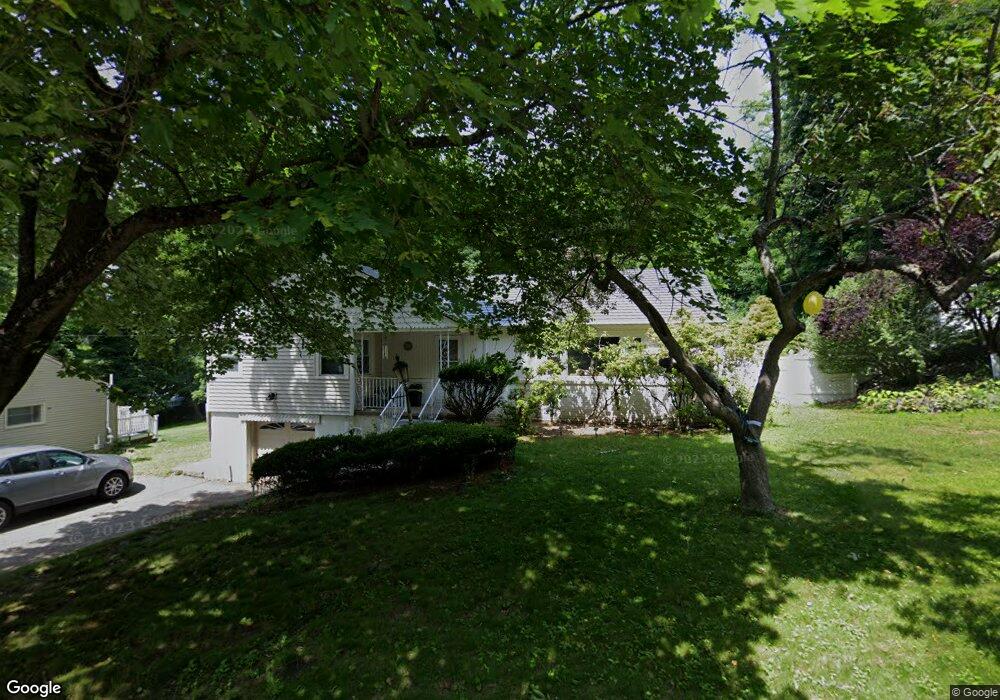
35 Moreland St Worcester, MA 01609
Newton Square NeighborhoodEstimated Value: $512,000 - $590,000
3
Beds
2
Baths
1,644
Sq Ft
$331/Sq Ft
Est. Value
About This Home
This home is located at 35 Moreland St, Worcester, MA 01609 and is currently estimated at $543,728, approximately $330 per square foot. 35 Moreland St is a home located in Worcester County with nearby schools including Tatnuck Magnet School, Chandler Magnet, and Jacob Hiatt Magnet School.
Ownership History
Date
Name
Owned For
Owner Type
Purchase Details
Closed on
Sep 15, 1995
Sold by
Levey Samuel and Levey Pearl
Bought by
Bisson Kathleen
Current Estimated Value
Create a Home Valuation Report for This Property
The Home Valuation Report is an in-depth analysis detailing your home's value as well as a comparison with similar homes in the area
Home Values in the Area
Average Home Value in this Area
Purchase History
| Date | Buyer | Sale Price | Title Company |
|---|---|---|---|
| Bisson Kathleen | $137,000 | -- |
Source: Public Records
Mortgage History
| Date | Status | Borrower | Loan Amount |
|---|---|---|---|
| Open | Bisson Kathleen | $100,000 | |
| Closed | Bisson Kathleen | $100,000 | |
| Open | Bisson Kathleen | $212,000 |
Source: Public Records
Tax History
| Year | Tax Paid | Tax Assessment Tax Assessment Total Assessment is a certain percentage of the fair market value that is determined by local assessors to be the total taxable value of land and additions on the property. | Land | Improvement |
|---|---|---|---|---|
| 2025 | $5,961 | $451,900 | $119,400 | $332,500 |
| 2024 | $5,825 | $423,600 | $119,400 | $304,200 |
| 2023 | $5,670 | $395,400 | $103,800 | $291,600 |
| 2022 | $5,077 | $333,800 | $83,000 | $250,800 |
| 2021 | $5,143 | $315,900 | $66,400 | $249,500 |
| 2020 | $5,024 | $295,500 | $66,300 | $229,200 |
| 2019 | $4,752 | $264,000 | $60,000 | $204,000 |
| 2018 | $4,610 | $243,800 | $60,000 | $183,800 |
| 2017 | $4,686 | $243,800 | $60,000 | $183,800 |
| 2016 | $4,699 | $228,000 | $45,400 | $182,600 |
| 2015 | $4,576 | $228,000 | $45,400 | $182,600 |
| 2014 | $4,455 | $228,000 | $45,400 | $182,600 |
Source: Public Records
Map
Nearby Homes
- 7 Columbine Rd
- 8 Modred Ct
- 1029 Pleasant St Unit 19
- 18 Merlin Ct Unit 18
- 85 Camelot Dr Unit 118
- 118 Beaconsfield Rd
- 12 Cardinal Rd
- 122 Copperfield Rd
- 22 Audubon Rd
- 19 Kenilworth Rd
- 23 Orrison St
- 31 Lenox St
- 23 Tiverton Pkwy
- 18 Westbrook Rd
- 32 Aylesbury Rd
- 53 Kinnicutt Rd
- 16 Sherwood Rd
- 47R Yarnie Unit 3B
- 47R Yarnie Unit 3A
- 47R Yarnie Unit 1B
Your Personal Tour Guide
Ask me questions while you tour the home.