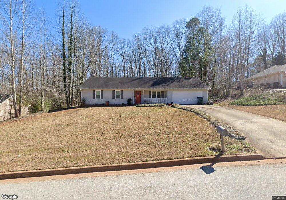
35 Mountain Ct Unit 2 Covington, GA 30016
Estimated Value: $233,000 - $250,000
Studio
2
Baths
1,475
Sq Ft
$164/Sq Ft
Est. Value
About This Home
This home is located at 35 Mountain Ct Unit 2, Covington, GA 30016 and is currently estimated at $241,979, approximately $164 per square foot. 35 Mountain Ct Unit 2 is a home located in Newton County with nearby schools including Livingston Elementary School, Indian Creek Middle School, and Alcovy High School.
Ownership History
Date
Name
Owned For
Owner Type
Purchase Details
Closed on
Jun 30, 2000
Sold by
Ech Homes Inc
Bought by
Hill Cheryl B
Current Estimated Value
Home Financials for this Owner
Home Financials are based on the most recent Mortgage that was taken out on this home.
Original Mortgage
$99,050
Outstanding Balance
$34,690
Interest Rate
8.54%
Mortgage Type
FHA
Estimated Equity
$207,289
Purchase Details
Closed on
Mar 27, 1998
Sold by
W C Mitchell Inc
Bought by
Prescott Rita
Home Financials for this Owner
Home Financials are based on the most recent Mortgage that was taken out on this home.
Original Mortgage
$82,240
Interest Rate
7.06%
Mortgage Type
New Conventional
Purchase Details
Closed on
Sep 8, 1997
Sold by
Allen Tony
Bought by
W C Mitchell Inc
Create a Home Valuation Report for This Property
The Home Valuation Report is an in-depth analysis detailing your home's value as well as a comparison with similar homes in the area
Home Values in the Area
Average Home Value in this Area
Purchase History
| Date | Buyer | Sale Price | Title Company |
|---|---|---|---|
| Hill Cheryl B | $99,900 | -- | |
| Prescott Rita | $81,500 | -- | |
| W C Mitchell Inc | $11,000 | -- |
Source: Public Records
Mortgage History
| Date | Status | Borrower | Loan Amount |
|---|---|---|---|
| Open | Hill Cheryl B | $99,050 | |
| Previous Owner | Prescott Rita | $82,240 |
Source: Public Records
Tax History
| Year | Tax Paid | Tax Assessment Tax Assessment Total Assessment is a certain percentage of the fair market value that is determined by local assessors to be the total taxable value of land and additions on the property. | Land | Improvement |
|---|---|---|---|---|
| 2025 | $2,461 | $100,680 | $16,000 | $84,680 |
| 2024 | $2,488 | $99,720 | $16,000 | $83,720 |
| 2023 | $2,427 | $91,120 | $8,000 | $83,120 |
| 2022 | $1,933 | $72,920 | $8,800 | $64,120 |
| 2021 | $1,711 | $58,320 | $8,800 | $49,520 |
| 2020 | $1,692 | $52,520 | $8,800 | $43,720 |
| 2019 | $1,627 | $49,880 | $7,200 | $42,680 |
| 2018 | $1,578 | $48,160 | $7,200 | $40,960 |
| 2017 | $1,341 | $41,240 | $6,400 | $34,840 |
| 2016 | $1,024 | $32,000 | $4,000 | $28,000 |
| 2015 | $902 | $28,480 | $2,000 | $26,480 |
| 2014 | $988 | $31,040 | $0 | $0 |
Source: Public Records
Map
Nearby Homes
- 20 Mountainview Ct Unit 2
- 115 Mountainview Dr
- 1752 Highway 162
- 10 Lamar Ln
- 25 Shady Oaks Trail
- 185 Mountain Ridge
- 125 Shelby Oaks Trail
- 0 Chestnut Rd Unit 10696786
- 0 Chestnut Rd Unit 7723609
- 220 Harville Rd
- 240 Harville Rd
- 674 Lower River Rd
- 10 Barberry Cir
- 1599 Lower River Rd
- 0 Tempie Ln
- 179 Ellis Trail
- 25 Castlehill Ct
- 402 Rocky Plains Rd
- 0 Roseberry Rd
- 230 Barcelona Dr
- 25 Mountain Ct
- 45 Mountain Ct
- 30 Mountain Ct
- 55 Mountain Ct
- 40 Mountain Ct
- 20 Mountain Ct
- 25 Mountainside Ln
- 50 Mountain Ct
- 65 Mountain Ct
- 10 Mountain Ct
- 15 Mountainside Ln
- 60 Mountain Ct
- 75 Mountain Ct
- 65 Mountainside Ln
- 70 Mountain Dr
- 30 Mountainside Ln
- 70 Mountain Ct
- 80 Mountain Dr
- 40 Mountainside Ln
- 90 Mountain Dr
Your Personal Tour Guide
Ask me questions while you tour the home.