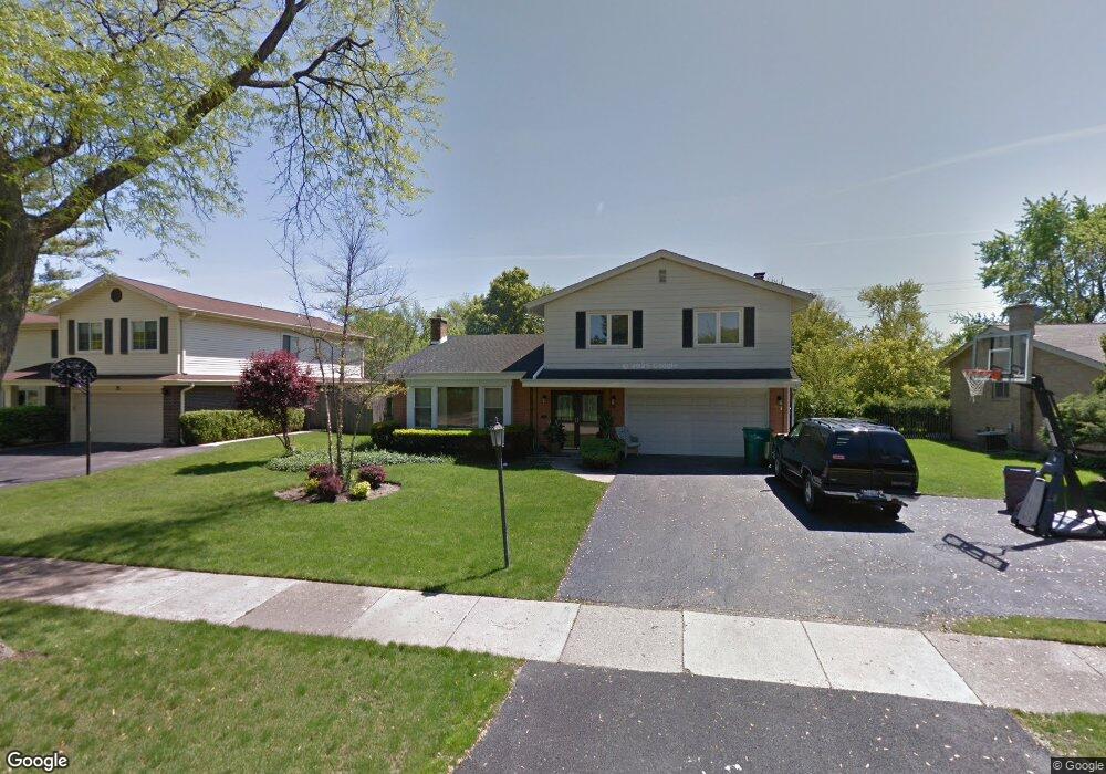
35 Mulberry Rd Deerfield, IL 60015
Briarwood NeighborhoodEstimated Value: $711,892 - $796,000
4
Beds
3
Baths
2,352
Sq Ft
$322/Sq Ft
Est. Value
About This Home
This home is located at 35 Mulberry Rd, Deerfield, IL 60015 and is currently estimated at $756,473, approximately $321 per square foot. 35 Mulberry Rd is a home located in Lake County with nearby schools including Kipling Elementary School, Alan B Shepard Middle School, and Deerfield High School.
Ownership History
Date
Name
Owned For
Owner Type
Purchase Details
Closed on
Dec 14, 1995
Sold by
Morris Marshal P and Morris Israela E
Bought by
American National Bk & Tr Co Of Chicago
Current Estimated Value
Home Financials for this Owner
Home Financials are based on the most recent Mortgage that was taken out on this home.
Original Mortgage
$80,000
Interest Rate
7.43%
Create a Home Valuation Report for This Property
The Home Valuation Report is an in-depth analysis detailing your home's value as well as a comparison with similar homes in the area
Home Values in the Area
Average Home Value in this Area
Purchase History
| Date | Buyer | Sale Price | Title Company |
|---|---|---|---|
| American National Bk & Tr Co Of Chicago | $277,000 | -- |
Source: Public Records
Mortgage History
| Date | Status | Borrower | Loan Amount |
|---|---|---|---|
| Closed | American National Bk & Tr Co Of Chicago | $80,000 |
Source: Public Records
Tax History Compared to Growth
Tax History
| Year | Tax Paid | Tax Assessment Tax Assessment Total Assessment is a certain percentage of the fair market value that is determined by local assessors to be the total taxable value of land and additions on the property. | Land | Improvement |
|---|---|---|---|---|
| 2024 | $11,635 | $154,114 | $54,907 | $99,207 |
| 2023 | $13,153 | $139,530 | $49,711 | $89,819 |
| 2022 | $13,153 | $149,738 | $53,395 | $96,343 |
| 2021 | $12,852 | $144,368 | $51,480 | $92,888 |
| 2020 | $12,361 | $144,671 | $51,588 | $93,083 |
| 2019 | $12,079 | $144,425 | $51,500 | $92,925 |
| 2018 | $12,493 | $153,987 | $54,587 | $99,400 |
| 2017 | $12,294 | $153,496 | $54,413 | $99,083 |
| 2016 | $11,952 | $147,691 | $52,355 | $95,336 |
| 2015 | $11,695 | $138,768 | $49,192 | $89,576 |
| 2014 | $11,917 | $139,360 | $49,543 | $89,817 |
| 2012 | $11,629 | $138,131 | $49,106 | $89,025 |
Source: Public Records
Map
Nearby Homes
- 75 Mulberry Rd
- 49 Larkdale Rd
- 75 Eastwood Dr
- 1921 Beechnut Rd
- 95 Greenbriar Dr E
- 1744 Walnut Cir
- 300 Red Oak Rd
- 1851 Oakwood Rd
- 1939 Koehling Rd
- 1816 Rosemary Rd
- 372 Kelburn Rd Unit 313
- 382 Kelburn Rd Unit 122
- 717 Brierhill Rd
- 1280 Rudolph Rd Unit 1
- 1380 Rosemary Ln
- 1220 Rudolph Rd Unit 3A
- 805 Brand Ln
- 630 Hermitage Dr
- 757 Kipling Place
- 2009 Dundee Rd
- 49 Mulberry Rd
- 25 Mulberry Rd
- 3 Mulberry East Rd
- 65 Mulberry Rd
- 40 Mulberry Rd
- 7 Mulberry East Rd
- 2 Mulberry East Rd
- 75 Mulberry Rd
- 56 Mulberry Rd
- 2010 Maplewood Rd
- 2006 Maplewood Rd
- 60 Eastwood Dr
- 70 Mulberry Rd
- 15 Mulberry East Rd
- 85 Mulberry Rd
- 6 Mulberry East Rd
- 59 Eastwood Dr
- 1950 Maplewood Rd
- 80 Mulberry Rd
- 2034 Maplewood Rd