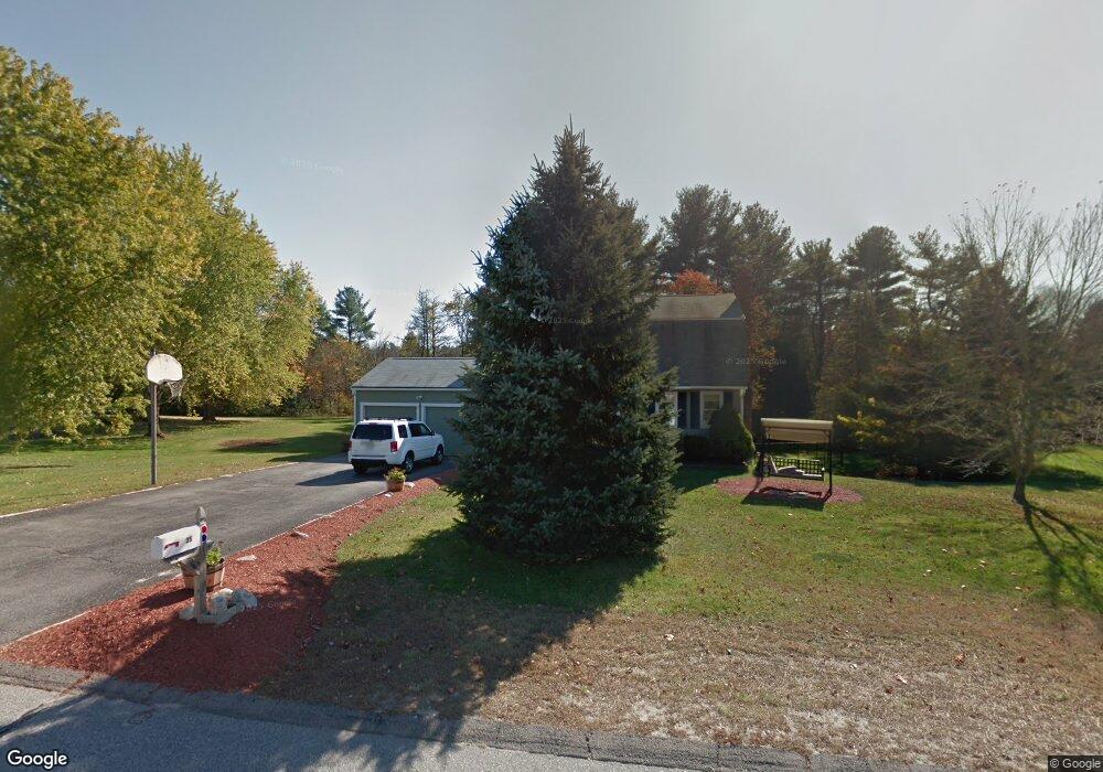
35 My Way Uxbridge, MA 01569
Estimated Value: $562,000 - $706,000
3
Beds
2
Baths
2,376
Sq Ft
$261/Sq Ft
Est. Value
About This Home
This home is located at 35 My Way, Uxbridge, MA 01569 and is currently estimated at $620,378, approximately $261 per square foot. 35 My Way is a home located in Worcester County with nearby schools including Uxbridge High School, Our Lady of the Valley Regional School, and Whitinsville Christian School.
Ownership History
Date
Name
Owned For
Owner Type
Purchase Details
Closed on
Jan 31, 1997
Sold by
Rapa Joseph and Rapa Karen
Bought by
Maloney Michael P and Maloney Anne M
Current Estimated Value
Purchase Details
Closed on
Dec 11, 1992
Sold by
Trachimowicz Patricia and Trachimowicz Robert
Bought by
Rapa Joseph and Rapa Karen
Purchase Details
Closed on
Aug 3, 1989
Sold by
Downing Jeffrey
Bought by
Trachimowicz Roebrt
Create a Home Valuation Report for This Property
The Home Valuation Report is an in-depth analysis detailing your home's value as well as a comparison with similar homes in the area
Home Values in the Area
Average Home Value in this Area
Purchase History
| Date | Buyer | Sale Price | Title Company |
|---|---|---|---|
| Maloney Michael P | $169,500 | -- | |
| Rapa Joseph | $158,300 | -- | |
| Trachimowicz Roebrt | $175,000 | -- |
Source: Public Records
Mortgage History
| Date | Status | Borrower | Loan Amount |
|---|---|---|---|
| Open | Trachimowicz Roebrt | $234,000 | |
| Closed | Trachimowicz Roebrt | $183,000 |
Source: Public Records
Tax History Compared to Growth
Tax History
| Year | Tax Paid | Tax Assessment Tax Assessment Total Assessment is a certain percentage of the fair market value that is determined by local assessors to be the total taxable value of land and additions on the property. | Land | Improvement |
|---|---|---|---|---|
| 2025 | $62 | $473,600 | $153,900 | $319,700 |
| 2024 | $5,833 | $451,500 | $146,100 | $305,400 |
| 2023 | $5,580 | $400,000 | $126,300 | $273,700 |
| 2022 | $5,048 | $333,000 | $110,600 | $222,400 |
| 2021 | $5,230 | $330,600 | $108,200 | $222,400 |
| 2020 | $5,641 | $337,000 | $106,000 | $231,000 |
| 2019 | $5,618 | $323,800 | $106,000 | $217,800 |
| 2018 | $5,048 | $294,000 | $106,000 | $188,000 |
| 2017 | $5,049 | $297,700 | $103,700 | $194,000 |
| 2016 | $4,790 | $272,600 | $95,100 | $177,500 |
| 2015 | $4,691 | $269,600 | $95,100 | $174,500 |
Source: Public Records
Map
Nearby Homes
- 371 Hartford Ave E
- 14 Woodland Rd
- 20 Nature View Dr Unit 20
- 46 Pouts Ln Unit 46
- 24 Olde Canal Way Unit 24
- 75 Lake St
- 256 Mendon St
- 50 Carrington Ln
- 44 Arthur Dr Unit 44
- 3 Strathmore Shire Unit A
- 0 Louis St
- 230 Quaker St
- 107 Henry St
- 72 Homeward Ave
- 35 Highland Park Unit 35
- 37 Elizabeth St
- 48 Homeward Ave
- 307 N Main St
- 94 Heritage Dr Unit 94
- 36 Elm St