35 N Bristow St Frankfort, IN 46041
Estimated Value: $159,919 - $268,000
2
Beds
1
Bath
1,672
Sq Ft
$117/Sq Ft
Est. Value
About This Home
This home is located at 35 N Bristow St, Frankfort, IN 46041 and is currently estimated at $195,480, approximately $116 per square foot. 35 N Bristow St is a home located in Clinton County with nearby schools including Clinton Central Elementary School and Clinton Central Junior/Senior High School.
Ownership History
Date
Name
Owned For
Owner Type
Purchase Details
Closed on
Mar 13, 2007
Sold by
Faulkner Charles Austin and Faulkner Trisha L
Bought by
Faulkner Charles Austin
Current Estimated Value
Home Financials for this Owner
Home Financials are based on the most recent Mortgage that was taken out on this home.
Original Mortgage
$68,000
Interest Rate
6.28%
Mortgage Type
New Conventional
Purchase Details
Closed on
Jul 1, 1997
Sold by
Paul Price J
Bought by
Faulkner Joseph G
Create a Home Valuation Report for This Property
The Home Valuation Report is an in-depth analysis detailing your home's value as well as a comparison with similar homes in the area
Home Values in the Area
Average Home Value in this Area
Purchase History
| Date | Buyer | Sale Price | Title Company |
|---|---|---|---|
| Faulkner Charles Austin | -- | None Available | |
| Faulkner Joseph G | -- | -- |
Source: Public Records
Mortgage History
| Date | Status | Borrower | Loan Amount |
|---|---|---|---|
| Closed | Faulkner Charles Austin | $68,000 |
Source: Public Records
Tax History Compared to Growth
Tax History
| Year | Tax Paid | Tax Assessment Tax Assessment Total Assessment is a certain percentage of the fair market value that is determined by local assessors to be the total taxable value of land and additions on the property. | Land | Improvement |
|---|---|---|---|---|
| 2024 | $622 | $94,600 | $1,900 | $92,700 |
| 2023 | $694 | $100,600 | $1,900 | $98,700 |
| 2022 | $373 | $69,600 | $1,900 | $67,700 |
| 2021 | $314 | $64,400 | $1,900 | $62,500 |
| 2020 | $344 | $64,400 | $1,900 | $62,500 |
| 2019 | $333 | $64,400 | $1,900 | $62,500 |
| 2018 | $293 | $59,500 | $1,900 | $57,600 |
| 2017 | $254 | $59,200 | $1,900 | $57,300 |
| 2016 | $221 | $56,700 | $1,900 | $54,800 |
| 2014 | $127 | $56,600 | $3,500 | $53,100 |
Source: Public Records
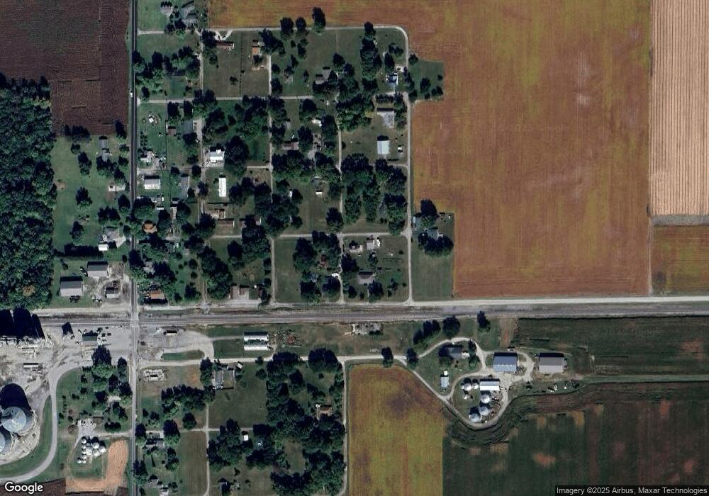
Map
Nearby Homes
- 201 W Colonial St
- 3525 County Road 1250 E
- 3350 S Co Road 1300 E
- 5371 E 500 Rd N
- 203 E 3rd St
- 210 Ohio St
- 102 Main St
- 5184 E County Road 100 N
- 404 E Pike St
- 512 E Pike St
- 204 S Main St
- 5371 E County Road 500 N
- 11888 W 600 N
- 10296 W 500 N
- 7812 E Co Road 700 N
- 9046 W 500 S
- 7015 W 350 S
- 2775 E State Road 28
- 2696 E Michigantown Rd
- 10719 E State Road 38
- 11168 E County Road 0 Ns
- 68 N College St
- 30 N Bristow St
- 11140 E County Road 0 Ns
- 49 N College St
- 11112 E Thomas St
- 11088 E County Road 0 Ns
- 1100 E Given St
- 11080 E Thomas St
- 115 N Brown St
- 63 N Mcclurg St
- 11259 E Given St
- 11136 E Prairie St
- 11194 E Johnson St
- 107 N Mcclurg St
- 11136 E Johnson St
- 36 N Mcclurg St
- 11106 E Johnson St
- 88 N Mcclurg St
- 135 N Mcclurg St