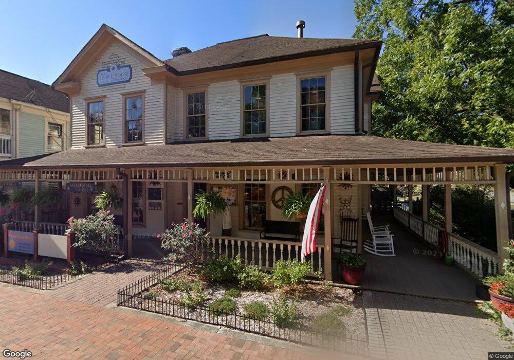
35 N Chestatee St Dahlonega, GA 30533
Estimated Value: $317,024 - $353,000
--
Bed
1
Bath
1,330
Sq Ft
$250/Sq Ft
Est. Value
About This Home
This home is located at 35 N Chestatee St, Dahlonega, GA 30533 and is currently estimated at $332,506, approximately $250 per square foot. 35 N Chestatee St is a home located in Lumpkin County with nearby schools including Clay County Middle School and Lumpkin County High School.
Ownership History
Date
Name
Owned For
Owner Type
Purchase Details
Closed on
Apr 16, 2020
Sold by
Rusk Gayle E
Bought by
Pierce Laura M
Current Estimated Value
Home Financials for this Owner
Home Financials are based on the most recent Mortgage that was taken out on this home.
Original Mortgage
$169,696
Outstanding Balance
$150,893
Interest Rate
3.6%
Mortgage Type
New Conventional
Estimated Equity
$181,613
Purchase Details
Closed on
Mar 12, 2019
Sold by
Rusk Gayle E
Bought by
Rusk Gayle E and Rusk Alan D
Purchase Details
Closed on
Aug 3, 1995
Sold by
Moore Arlene T
Bought by
Rusk Gayle E
Purchase Details
Closed on
Feb 1, 1985
Bought by
Moore Arlene T
Create a Home Valuation Report for This Property
The Home Valuation Report is an in-depth analysis detailing your home's value as well as a comparison with similar homes in the area
Home Values in the Area
Average Home Value in this Area
Purchase History
| Date | Buyer | Sale Price | Title Company |
|---|---|---|---|
| Pierce Laura M | $68,000 | -- | |
| Rusk Gayle E | -- | -- | |
| Rusk Gayle E | $10,000 | -- | |
| Moore Arlene T | -- | -- |
Source: Public Records
Mortgage History
| Date | Status | Borrower | Loan Amount |
|---|---|---|---|
| Open | Pierce Laura M | $169,696 |
Source: Public Records
Tax History Compared to Growth
Tax History
| Year | Tax Paid | Tax Assessment Tax Assessment Total Assessment is a certain percentage of the fair market value that is determined by local assessors to be the total taxable value of land and additions on the property. | Land | Improvement |
|---|---|---|---|---|
| 2024 | $2,129 | $94,374 | $10,280 | $84,094 |
| 2023 | $1,640 | $89,280 | $10,280 | $79,000 |
| 2022 | $1,819 | $75,461 | $10,280 | $65,181 |
| 2021 | $1,679 | $65,606 | $10,280 | $55,326 |
| 2020 | $1,119 | $42,409 | $6,504 | $35,905 |
| 2019 | $1,129 | $42,409 | $6,504 | $35,905 |
| 2018 | $1,076 | $37,938 | $6,504 | $31,434 |
| 2017 | $1,058 | $36,566 | $6,504 | $30,062 |
| 2016 | $1,020 | $34,095 | $6,504 | $27,591 |
| 2015 | $908 | $34,095 | $6,504 | $27,591 |
| 2014 | $908 | $34,424 | $6,504 | $27,920 |
| 2013 | -- | $35,080 | $6,504 | $28,576 |
Source: Public Records
Map
Nearby Homes
- 315 Church St
- 95 Jones St
- 0 S Chestatee St Unit 10619536
- 399 N Chestatee St
- 168 W Main St
- 0 Highway 19 N Unit 10594984
- 1392 S Chestatee St
- 120 Riley Rd
- 329 Morrison Moore Pkwy E
- 6480A Highway 52
- 0 Highway 60 Unit 7241582
- 0 Highway 9 S Unit 10487179
- 0 Highway 9 S Unit 7548614
- 502 Wimpy Mill Rd
- 0 Calhoun Rd Unit 7643314
- 0 Calhoun Rd Unit 10598012
- 00 Calhoun Rd
- 94 Mountain View Dr
- 0 Alicia Ln
- 0 Crown Mountain Unit 7682225
- 29 N Chestatee St
- 6.05 AC S Cheatee St
- 6439 CH S Chestatee St
- 00 Woodland Lane Tract 1
- 78 Public Square N
- S Public Square
- 00 S Chestatee St
- 0 S Chestatee St
- 0 S Chestatee St Unit 7578343
- 0 S Chestatee St Unit 10520838
- 0 S Chestatee St Unit 7542481
- 0 S Chestatee St Unit 10410921
- 0 S Chestatee St Unit 7498320
- 0 S Chestatee St Unit 7041783
- 0 S Chestatee St Unit 7418619
- 0 S Chestatee St Unit 10335471
- 0 S Chestatee St Unit 8347022
- 0 S Chestatee St Unit 8347071
- 0 S Chestatee St Unit 8347088
- 0 S Chestatee St Unit 7012901