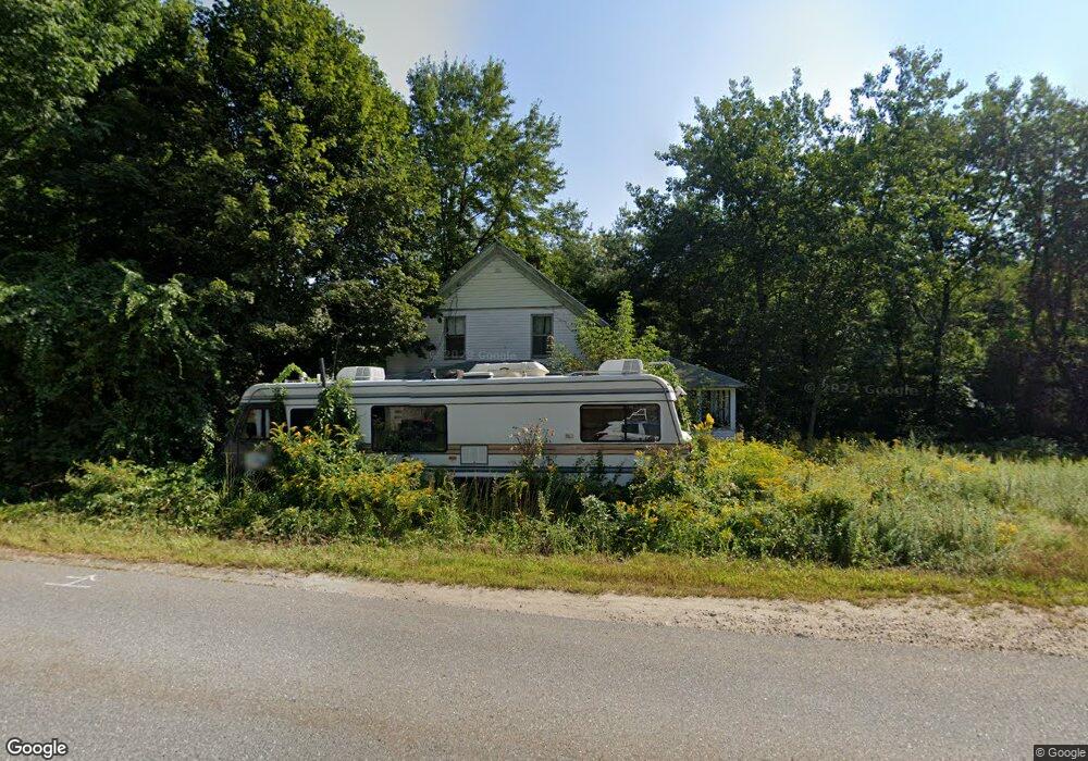
35 N Main St Charlton, MA 01507
Estimated Value: $396,000 - $431,000
4
Beds
1
Bath
1,260
Sq Ft
$323/Sq Ft
Est. Value
About This Home
This home is located at 35 N Main St, Charlton, MA 01507 and is currently estimated at $406,408, approximately $322 per square foot. 35 N Main St is a home located in Worcester County with nearby schools including Shepherd Hill Regional High School.
Ownership History
Date
Name
Owned For
Owner Type
Purchase Details
Closed on
May 14, 2021
Sold by
Henchey Christopher S
Bought by
Gm Properties Llc
Current Estimated Value
Purchase Details
Closed on
Jun 27, 2017
Sold by
Freedman Carl R and Us Bank Na
Bought by
Henchey Christopher
Purchase Details
Closed on
Sep 27, 1979
Bought by
Freedman Carl R
Create a Home Valuation Report for This Property
The Home Valuation Report is an in-depth analysis detailing your home's value as well as a comparison with similar homes in the area
Home Values in the Area
Average Home Value in this Area
Purchase History
| Date | Buyer | Sale Price | Title Company |
|---|---|---|---|
| Gm Properties Llc | $300,000 | None Available | |
| Gm Properties Llc | $300,000 | None Available | |
| Henchey Christopher | $110,900 | -- | |
| Henchey Christopher | $110,900 | -- | |
| Freedman Carl R | -- | -- |
Source: Public Records
Mortgage History
| Date | Status | Borrower | Loan Amount |
|---|---|---|---|
| Previous Owner | Freedman Carl R | $91,500 | |
| Previous Owner | Freedman Carl R | $40,000 | |
| Previous Owner | Freedman Carl R | $25,000 |
Source: Public Records
Tax History Compared to Growth
Tax History
| Year | Tax Paid | Tax Assessment Tax Assessment Total Assessment is a certain percentage of the fair market value that is determined by local assessors to be the total taxable value of land and additions on the property. | Land | Improvement |
|---|---|---|---|---|
| 2025 | $3,921 | $352,300 | $211,800 | $140,500 |
| 2024 | $3,807 | $335,700 | $203,100 | $132,600 |
| 2023 | $3,849 | $316,300 | $185,000 | $131,300 |
| 2022 | $3,487 | $262,400 | $163,900 | $98,500 |
| 2021 | $2,694 | $179,500 | $85,900 | $93,600 |
| 2020 | $2,592 | $173,500 | $79,900 | $93,600 |
| 2019 | $2,563 | $173,500 | $79,900 | $93,600 |
| 2018 | $2,342 | $173,500 | $79,900 | $93,600 |
| 2017 | $2,277 | $161,500 | $73,900 | $87,600 |
| 2016 | $2,225 | $161,500 | $73,900 | $87,600 |
| 2015 | $2,167 | $161,500 | $73,900 | $87,600 |
| 2014 | $2,053 | $162,200 | $74,500 | $87,700 |
Source: Public Records
Map
Nearby Homes
- 7 L Stevens Rd Unit A
- 7 L Stevens Rd Unit B
- 25 N Main St Unit A
- 5 Northside Rd
- 8 Northside Rd
- 102 Worcester Rd
- 0 Trolley Crossing Rd
- 5 Carpenter Hill Rd
- 57 Carpenter Hill Rd
- 0 Worcester Rd
- 38 Stevens Park Rd
- 28 Southbridge Rd Unit 402
- 91 Burlingame Rd
- 7 Little Muggett Rd
- 13 Boucher Dr
- 18 Old Worcester Rd
- 105 Carroll Hill Rd
- 0 Freeman Rd Unit 73369281
- 6 S Sullivan Rd
- 68 - 74 Sturbridge Rd
- 36 N Main St
- 36 N Main St
- 36 N Main St Unit 1
- 23 & 25 N Main St
- 46 H Putnam Rd
- 46 H Putnam Road Extension
- 36 L Stevens Rd
- 44 N Main St
- 24 N Main St
- 45 N Main St
- 45 N Main St Unit A
- 45 N Main St Unit D
- 45 N Main St Unit B
- 45 N Main St Unit I
- 45 N Main St Unit 2
- 23 - 25 N Main St
- 33 L Stevens Rd
- 21 N Main St
- Lot Rt 20 (Worcester Rd)
- 69 N S Rd-No Drive Bys