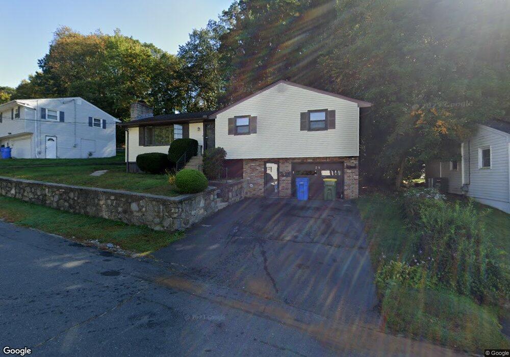
35 Newport Dr Waterbury, CT 06705
East End District NeighborhoodEstimated Value: $309,000 - $337,000
3
Beds
2
Baths
1,252
Sq Ft
$262/Sq Ft
Est. Value
About This Home
This home is located at 35 Newport Dr, Waterbury, CT 06705 and is currently estimated at $328,554, approximately $262 per square foot. 35 Newport Dr is a home located in New Haven County with nearby schools including H.S. Chase School, Michael F. Wallace Middle School, and Crosby High School.
Ownership History
Date
Name
Owned For
Owner Type
Purchase Details
Closed on
Apr 29, 2002
Sold by
Doria Rodolfo
Bought by
Barnes Verlen M and Barnes Harold A
Current Estimated Value
Home Financials for this Owner
Home Financials are based on the most recent Mortgage that was taken out on this home.
Original Mortgage
$105,255
Interest Rate
7.05%
Mortgage Type
Purchase Money Mortgage
Create a Home Valuation Report for This Property
The Home Valuation Report is an in-depth analysis detailing your home's value as well as a comparison with similar homes in the area
Home Values in the Area
Average Home Value in this Area
Purchase History
| Date | Buyer | Sale Price | Title Company |
|---|---|---|---|
| Barnes Verlen M | $107,000 | -- |
Source: Public Records
Mortgage History
| Date | Status | Borrower | Loan Amount |
|---|---|---|---|
| Open | Barnes Verlen M | $96,000 | |
| Closed | Barnes Verlen M | $82,500 | |
| Closed | Barnes Verlen M | $11,514 | |
| Closed | Barnes Verlen M | $105,255 |
Source: Public Records
Tax History Compared to Growth
Tax History
| Year | Tax Paid | Tax Assessment Tax Assessment Total Assessment is a certain percentage of the fair market value that is determined by local assessors to be the total taxable value of land and additions on the property. | Land | Improvement |
|---|---|---|---|---|
| 2025 | $6,700 | $148,960 | $21,840 | $127,120 |
| 2024 | $7,365 | $148,960 | $21,840 | $127,120 |
| 2023 | $8,072 | $148,960 | $21,840 | $127,120 |
| 2022 | $5,094 | $84,610 | $21,830 | $62,780 |
| 2021 | $5,094 | $84,610 | $21,830 | $62,780 |
| 2020 | $5,094 | $84,610 | $21,830 | $62,780 |
| 2019 | $5,094 | $84,610 | $21,830 | $62,780 |
| 2018 | $5,094 | $84,610 | $21,830 | $62,780 |
| 2017 | $5,392 | $89,550 | $21,830 | $67,720 |
| 2016 | $5,392 | $89,550 | $21,830 | $67,720 |
| 2015 | $5,214 | $89,550 | $21,830 | $67,720 |
| 2014 | $5,214 | $89,550 | $21,830 | $67,720 |
Source: Public Records
Map
Nearby Homes
- 0 Arvida Rd Unit 24054898
- 186 Windy Dr
- 374 Beth Ln
- 35 Preston Terrace Unit 8
- 201 Joseph St
- 286 Beth Ln Unit 16
- 3 Pimlico Rd
- 22 Irene Ave
- 226 Beth Ln
- 324 Capitol Ave
- 283 Courtland Ave
- 312 Capitol Ave
- 97 Joseph St
- 188 Beth Ln
- 494 Woodtick Rd
- 47 Finch Rd
- 854 Frost Rd
- 8 Bonnie Ln
- 47 Highlawn St
- 47 Regal Ct