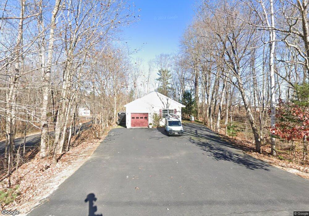
35 Oak Hill Rd Standish, ME 04084
Estimated Value: $409,246 - $484,000
3
Beds
2
Baths
1,286
Sq Ft
$350/Sq Ft
Est. Value
About This Home
This home is located at 35 Oak Hill Rd, Standish, ME 04084 and is currently estimated at $449,562, approximately $349 per square foot. 35 Oak Hill Rd is a home located in Cumberland County with nearby schools including Bonny Eagle High School and Standish Baptist Academy.
Ownership History
Date
Name
Owned For
Owner Type
Purchase Details
Closed on
Jul 27, 2009
Sold by
Tempason James
Bought by
Garland Cheryl M
Current Estimated Value
Home Financials for this Owner
Home Financials are based on the most recent Mortgage that was taken out on this home.
Original Mortgage
$175,366
Interest Rate
5.58%
Mortgage Type
FHA
Create a Home Valuation Report for This Property
The Home Valuation Report is an in-depth analysis detailing your home's value as well as a comparison with similar homes in the area
Home Values in the Area
Average Home Value in this Area
Purchase History
| Date | Buyer | Sale Price | Title Company |
|---|---|---|---|
| Garland Cheryl M | -- | -- |
Source: Public Records
Mortgage History
| Date | Status | Borrower | Loan Amount |
|---|---|---|---|
| Open | Garland Cheryl M | $182,516 | |
| Closed | Garland Cheryl M | $175,366 | |
| Previous Owner | Garland Cheryl M | $151,500 |
Source: Public Records
Tax History
| Year | Tax Paid | Tax Assessment Tax Assessment Total Assessment is a certain percentage of the fair market value that is determined by local assessors to be the total taxable value of land and additions on the property. | Land | Improvement |
|---|---|---|---|---|
| 2024 | $3,692 | $293,000 | $43,800 | $249,200 |
| 2023 | $3,511 | $253,500 | $36,600 | $216,900 |
| 2022 | $3,117 | $215,700 | $32,400 | $183,300 |
| 2021 | $2,687 | $204,100 | $29,400 | $174,700 |
| 2019 | $2,840 | $198,600 | $29,000 | $169,600 |
| 2018 | $2,748 | $197,700 | $28,100 | $169,600 |
| 2017 | $0 | $197,700 | $28,100 | $169,600 |
| 2016 | $2,535 | $197,700 | $28,100 | $169,600 |
| 2015 | $2,529 | $197,700 | $28,100 | $169,600 |
| 2013 | -- | $197,700 | $28,100 | $169,600 |
Source: Public Records
Map
Nearby Homes
- 27 Ossipee Trail E Unit 1
- 4 Cortland Place Unit 3
- 1 Cortland Place Unit 7
- 63 Ossipee Trail E
- 66 Ossipee Trail East Trail E
- 1 Macie Dr Unit 84
- 11 Macie Dr Unit 79
- 7 Macie Dr
- 4 Blueberry Ln Unit 4
- 33 Woodbrey Ln
- 31 Woodbrey Ln
- 4 Macie Dr Unit 70
- 9 Macie Dr
- 324 Ossipee Trail W Unit 2
- 326 Ossipee Trail W Unit 3
- 328 Ossipee Trail W Unit 4
- 90 Cape Rd
- 312 Northeast Rd
- LOT #54 Woodbrey Heights
- LOT #6 Eastern Ln
- 43 Oak Hill Rd
- 50 Oak Hill Rd
- 37 Oak Hill Rd
- 20 Oak Hill Rd
- 39 Oak Hill Rd
- LOT 17 Oak Hill Rd
- 58 Oak Hill Rd
- 14 Oak Hill Rd
- 59 Oak Hill Rd
- 9 Oak Hill Rd
- Lot A Oak Hill
- TBD Oak Hill Rd
- TBD Oak Hill
- 55 Ossipee Trail W
- 24 Oak Hill Rd
- 5 Oak Ridge Dr
- 7 Oak Hill Rd
- 19 Ossipee Trail W
- 15 Ossipee Trail W
- 60 Oak Hill Rd
Your Personal Tour Guide
Ask me questions while you tour the home.