35 Oasis Dr Denison, TX 75020
Estimated Value: $538,740 - $730,000
--
Bed
--
Bath
3,674
Sq Ft
$165/Sq Ft
Est. Value
About This Home
This home is located at 35 Oasis Dr, Denison, TX 75020 and is currently estimated at $604,685, approximately $164 per square foot. 35 Oasis Dr is a home located in Grayson County with nearby schools including Pottsboro Elementary School, Pottsboro Middle School, and Pottsboro High School.
Ownership History
Date
Name
Owned For
Owner Type
Purchase Details
Closed on
Dec 30, 2021
Sold by
Schwichtenberg John and Schwichtenberg Jennifer
Bought by
Peeples Regan and Peeples Steve
Current Estimated Value
Home Financials for this Owner
Home Financials are based on the most recent Mortgage that was taken out on this home.
Original Mortgage
$445,500
Outstanding Balance
$410,584
Interest Rate
3.11%
Mortgage Type
New Conventional
Estimated Equity
$194,101
Purchase Details
Closed on
Oct 19, 2021
Sold by
Cundiff Don A
Bought by
Schwichtenberg John J and Schwichtenberg Jennifer D
Purchase Details
Closed on
Jun 30, 2016
Sold by
Hendrickson Rickey E and Collins Brian K
Bought by
Schwichtenberg John J and Schwichtenberg Jennifer D
Home Financials for this Owner
Home Financials are based on the most recent Mortgage that was taken out on this home.
Original Mortgage
$223,870
Interest Rate
3.58%
Mortgage Type
FHA
Create a Home Valuation Report for This Property
The Home Valuation Report is an in-depth analysis detailing your home's value as well as a comparison with similar homes in the area
Home Values in the Area
Average Home Value in this Area
Purchase History
| Date | Buyer | Sale Price | Title Company |
|---|---|---|---|
| Peeples Regan | -- | Red River Title Company | |
| Schwichtenberg John J | -- | Red River Title Co | |
| Schwichtenberg John J | -- | Red River Title Co |
Source: Public Records
Mortgage History
| Date | Status | Borrower | Loan Amount |
|---|---|---|---|
| Open | Peeples Regan | $445,500 | |
| Previous Owner | Schwichtenberg John J | $223,870 |
Source: Public Records
Tax History Compared to Growth
Tax History
| Year | Tax Paid | Tax Assessment Tax Assessment Total Assessment is a certain percentage of the fair market value that is determined by local assessors to be the total taxable value of land and additions on the property. | Land | Improvement |
|---|---|---|---|---|
| 2025 | $6,633 | $584,186 | $89,893 | $494,293 |
| 2024 | $7,812 | $562,302 | $88,145 | $474,157 |
| 2023 | $6,163 | $526,598 | $88,493 | $438,105 |
| 2022 | $7,698 | $487,897 | $67,063 | $420,834 |
| 2021 | $4,601 | $320,219 | $56,170 | $264,049 |
| 2020 | $4,343 | $256,470 | $29,192 | $227,278 |
| 2019 | $4,953 | $291,784 | $29,192 | $262,592 |
| 2018 | $6,570 | $372,828 | $24,698 | $348,130 |
| 2017 | $4,156 | $228,218 | $24,698 | $203,520 |
| 2016 | $4,019 | $233,220 | $24,698 | $208,522 |
| 2015 | $3,228 | $200,599 | $14,078 | $186,521 |
| 2014 | $3,104 | $185,377 | $14,078 | $171,299 |
Source: Public Records
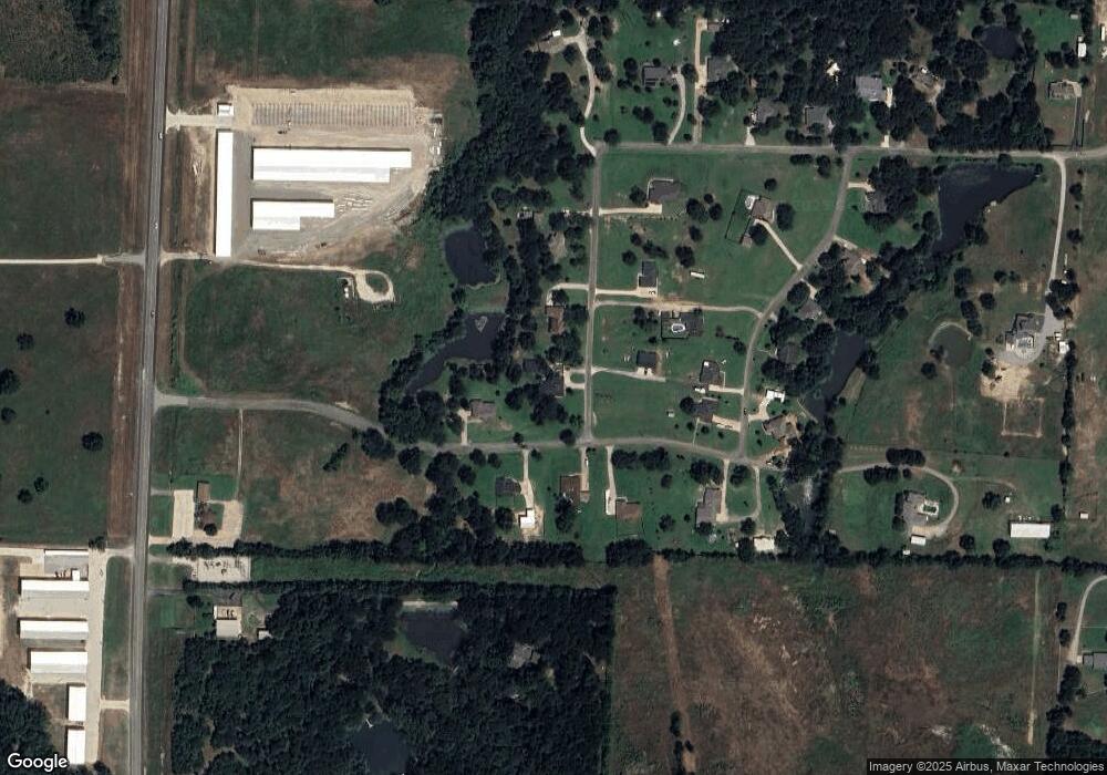
Map
Nearby Homes
- 292 Pecan Orchard Rd
- 123 Vandenburg Dr
- 565 Oasis Dr
- 44 Mundt Dr
- 181 Edgewood Terrace
- 12 Pershing Dr Unit A & B
- 29 Macarthur Dr
- 10 Pershing Dr Unit A
- 137 White Dove Trail
- 538 Lakewood Rd
- 443 Lakewood Rd
- 1035 Lakewood Rd
- 4 Fawn Hollow Trail
- TBD Airport Dr
- 000 Davy Ln
- 2828 Preston Rd
- 3376 Plainview Rd
- 147 Shadow Trail
- 4800 N Fm-1417
- 000 Grayson Dr
- 35 Oasis Dr
- 11 Oasis Dr
- 67 Oasis Dr
- 177 High View Dr
- 212 High View Dr
- 317 Creekside Dr
- 242 High View Dr
- 49 Creekside Dr
- 272 High View Dr
- 123 Oasis Dr
- 71 Creekside Dr
- 15 Creekside Dr
- 68 Oasis Dr
- 126 Oasis Dr
- 66 Creekside Dr
- 18 Creekside Dr
- 328 High View Dr
- 328 High View Dr
- 121 Creekside Dr
- 98 Creekside Dr