35 Old Cluff Rd Kennebunkport, ME 04046
Estimated Value: $617,000 - $1,026,000
2
Beds
2
Baths
1,928
Sq Ft
$409/Sq Ft
Est. Value
About This Home
This home is located at 35 Old Cluff Rd, Kennebunkport, ME 04046 and is currently estimated at $789,331, approximately $409 per square foot. 35 Old Cluff Rd is a home with nearby schools including Kennebunk High School and School Around Us.
Ownership History
Date
Name
Owned For
Owner Type
Purchase Details
Closed on
Nov 15, 2017
Sold by
Laboissonniere Carol A
Bought by
C A Laboissonniere Ret
Current Estimated Value
Purchase Details
Closed on
Jan 10, 2011
Sold by
Rlt Ret
Bought by
Laboissonniere Carol A
Create a Home Valuation Report for This Property
The Home Valuation Report is an in-depth analysis detailing your home's value as well as a comparison with similar homes in the area
Home Values in the Area
Average Home Value in this Area
Purchase History
| Date | Buyer | Sale Price | Title Company |
|---|---|---|---|
| C A Laboissonniere Ret | -- | -- | |
| Laboissonniere Carol A | $115,000 | -- |
Source: Public Records
Tax History
| Year | Tax Paid | Tax Assessment Tax Assessment Total Assessment is a certain percentage of the fair market value that is determined by local assessors to be the total taxable value of land and additions on the property. | Land | Improvement |
|---|---|---|---|---|
| 2025 | $4,421 | $642,600 | $193,400 | $449,200 |
| 2024 | $4,177 | $642,600 | $193,400 | $449,200 |
| 2023 | $4,016 | $642,600 | $193,400 | $449,200 |
| 2022 | $3,856 | $642,600 | $193,400 | $449,200 |
| 2021 | $3,622 | $377,300 | $102,400 | $274,900 |
| 2020 | $3,565 | $377,300 | $102,400 | $274,900 |
| 2019 | $3,540 | $374,600 | $102,400 | $272,200 |
| 2018 | $3,281 | $374,600 | $102,400 | $272,200 |
| 2017 | $3,191 | $366,800 | $102,400 | $264,400 |
| 2016 | $3,037 | $366,800 | $102,400 | $264,400 |
| 2015 | $2,824 | $366,800 | $102,400 | $264,400 |
| 2014 | $2,799 | $366,800 | $102,400 | $264,400 |
Source: Public Records
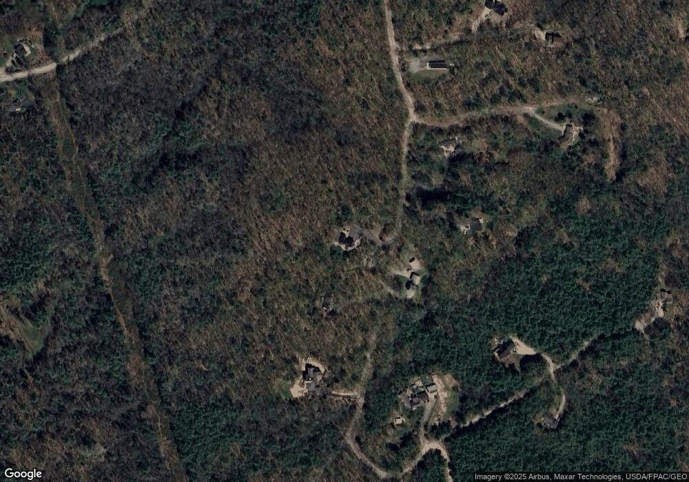
Map
Nearby Homes
- 55 Forest Dr
- 2 Forest Dr
- Lot 13 Forest Dr
- 9 Acorn Ave
- TBD Arundel Rd
- TBD Log Cabin
- 230 Beachwood Ave
- 00 Arundel Rd
- 118 North St
- 0 Portland Rd Unit 1644264
- Lot 11 Prospect Reserve Way
- Lot 14A River Rd
- 0 Oak Ridge Rd
- Lot 9 Prospect Reserve Way
- Lot 5 Prospect Reserve Way
- 0 Old Post Rd Unit 1628980
- 1976 Portland Rd
- 0 Cole Benson Rd
- 39 Powder Mill Dr
- 40 Powder Mill Dr Unit 40
- x Old Cluff Rd
- xx Old Cluff Rd
- 36 Old Cluff Rd
- 0 Tbd Oak Ridge Terrace - Unit LOT 11 1474400
- 0 Tbd Oak Ridge Terrace - Unit LOT 7 1463982
- 0 Tbd Oak Ridge Terrace - Unit LOT 12 1462223
- 0 Tbd Oak Ridge Terrace - Unit LOT 8 1461480
- 0 Tbd Oak Ridge Terrace - Unit LOT 9 1461481
- 0 Tbd Oak Ridge Terrace - Unit LOT 5 1461476
- 0 Tbd Oak Ridge Terrace - Unit LOT 4 1461474
- 0 Tbd Oak Ridge Terrace - Unit LOT 7 1461478
- 0 Tbd Oak Ridge Terrace - Unit LOT 6
- 0 Tbd Log Cabin Rd
- 00 New Biddeford (Grb)
- 0 Tbd Unit LOT 18 1540312
- 0 Tbd Unit LOT 16 1534851
- 0 Tbd Unit LOT 18 1522397
- 0 Tbd Unit LOT 16 1522396
- 0 Tbd Unit LOT 19 1520209
- 0 Tbd Unit LOT 15 1515769
Your Personal Tour Guide
Ask me questions while you tour the home.