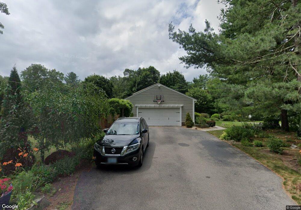
35 Paine Rd Cumberland, RI 02864
Arnold Mills NeighborhoodEstimated Value: $717,163 - $894,000
5
Beds
3
Baths
2,562
Sq Ft
$299/Sq Ft
Est. Value
About This Home
This home is located at 35 Paine Rd, Cumberland, RI 02864 and is currently estimated at $764,791, approximately $298 per square foot. 35 Paine Rd is a home located in Providence County with nearby schools including Community School, North Cumberland Middle School, and Cumberland High School.
Ownership History
Date
Name
Owned For
Owner Type
Purchase Details
Closed on
Jul 21, 2010
Sold by
Dagostino Louis and Dagostino Linda A
Bought by
Corse Sheila A and Corse Peter C
Current Estimated Value
Home Financials for this Owner
Home Financials are based on the most recent Mortgage that was taken out on this home.
Original Mortgage
$246,400
Outstanding Balance
$163,634
Interest Rate
4.63%
Estimated Equity
$601,157
Purchase Details
Closed on
Aug 17, 1988
Sold by
Stoneman Fncl Assoc
Bought by
Dagostino Louis
Home Financials for this Owner
Home Financials are based on the most recent Mortgage that was taken out on this home.
Original Mortgage
$125,000
Interest Rate
10.32%
Mortgage Type
Purchase Money Mortgage
Create a Home Valuation Report for This Property
The Home Valuation Report is an in-depth analysis detailing your home's value as well as a comparison with similar homes in the area
Home Values in the Area
Average Home Value in this Area
Purchase History
| Date | Buyer | Sale Price | Title Company |
|---|---|---|---|
| Corse Sheila A | $308,000 | -- | |
| Dagostino Louis | $200,000 | -- |
Source: Public Records
Mortgage History
| Date | Status | Borrower | Loan Amount |
|---|---|---|---|
| Open | Dagostino Louis | $246,400 | |
| Previous Owner | Dagostino Louis | $88,000 | |
| Previous Owner | Dagostino Louis | $125,000 |
Source: Public Records
Tax History Compared to Growth
Tax History
| Year | Tax Paid | Tax Assessment Tax Assessment Total Assessment is a certain percentage of the fair market value that is determined by local assessors to be the total taxable value of land and additions on the property. | Land | Improvement |
|---|---|---|---|---|
| 2025 | $5,933 | $483,500 | $197,300 | $286,200 |
| 2024 | $5,778 | $483,500 | $197,300 | $286,200 |
| 2023 | $5,618 | $483,500 | $197,300 | $286,200 |
| 2022 | $6,084 | $405,900 | $142,200 | $263,700 |
| 2021 | $5,983 | $405,900 | $142,200 | $263,700 |
| 2020 | $5,812 | $405,900 | $142,200 | $263,700 |
| 2019 | $5,833 | $367,300 | $130,700 | $236,600 |
| 2018 | $5,664 | $367,300 | $130,700 | $236,600 |
| 2017 | $5,587 | $367,300 | $130,700 | $236,600 |
| 2016 | $5,437 | $318,300 | $123,500 | $194,800 |
| 2015 | $5,437 | $318,300 | $123,500 | $194,800 |
| 2014 | $11,665 | $318,300 | $123,500 | $194,800 |
| 2013 | $5,144 | $326,000 | $125,700 | $200,300 |
Source: Public Records
Map
Nearby Homes
- 34 Stone Ridge Rd
- 807 Paine Rd
- 105 Newell Dr
- 33 Rosewood Ln
- 140 Abbott Run Valley Rd
- 16 Wollen Dr
- 143 Millard Rd
- 1 Woodhaven Dr
- 710 Nate Whipple Hwy
- 94 Abbott Run Valley Rd
- 56 Greenfield Rd
- 44 Powder Horn Way
- 16 Hillside Rd
- 3070 Diamond Hill Rd
- 164 Bear Hill Rd Unit 24
- 740 Allen Ave
- 154 Bear Hill Rd Unit 405
- 3360 Diamond Hill Rd
- 15 Standring St
- 181 Paine Rd