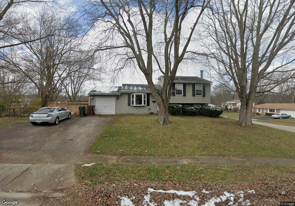
35 Patrick St Dayton, OH 45426
Estimated Value: $91,000 - $160,000
3
Beds
1
Bath
954
Sq Ft
$141/Sq Ft
Est. Value
About This Home
This home is located at 35 Patrick St, Dayton, OH 45426 and is currently estimated at $134,790, approximately $141 per square foot. 35 Patrick St is a home located in Montgomery County with nearby schools including Trotwood-Madison Middle School, Trotwood-Madison High School, and Trotwood Preparatory & Fitness Academy.
Ownership History
Date
Name
Owned For
Owner Type
Purchase Details
Closed on
Aug 12, 2016
Sold by
Real Estate Investors Place Llc
Bought by
E Joseph Lowe Md Inc
Current Estimated Value
Purchase Details
Closed on
Nov 28, 2006
Sold by
Jpmorgan Chase Bank
Bought by
Real Estate Investors Place Llc
Purchase Details
Closed on
Nov 9, 2006
Sold by
Weatherspoon Anita
Bought by
Jp Morgan Chase Bank
Purchase Details
Closed on
Oct 31, 2002
Sold by
Fourman Kirt A
Bought by
Weatherspoon Anita
Home Financials for this Owner
Home Financials are based on the most recent Mortgage that was taken out on this home.
Original Mortgage
$79,500
Interest Rate
7.3%
Purchase Details
Closed on
Apr 27, 1999
Sold by
Fourman Ronda L
Bought by
Fourman Kirt A
Create a Home Valuation Report for This Property
The Home Valuation Report is an in-depth analysis detailing your home's value as well as a comparison with similar homes in the area
Home Values in the Area
Average Home Value in this Area
Purchase History
| Date | Buyer | Sale Price | Title Company |
|---|---|---|---|
| E Joseph Lowe Md Inc | -- | None Available | |
| Real Estate Investors Place Llc | $50,000 | Resource Title Agency Inc | |
| Jp Morgan Chase Bank | $46,000 | Resource Title | |
| Weatherspoon Anita | $79,500 | -- | |
| Fourman Kirt A | -- | -- |
Source: Public Records
Mortgage History
| Date | Status | Borrower | Loan Amount |
|---|---|---|---|
| Previous Owner | Weatherspoon Anita | $79,500 |
Source: Public Records
Tax History
| Year | Tax Paid | Tax Assessment Tax Assessment Total Assessment is a certain percentage of the fair market value that is determined by local assessors to be the total taxable value of land and additions on the property. | Land | Improvement |
|---|---|---|---|---|
| 2025 | $1,706 | $24,940 | $4,880 | $20,060 |
| 2024 | $1,667 | $24,940 | $4,880 | $20,060 |
| 2023 | $1,667 | $24,940 | $4,880 | $20,060 |
| 2022 | $1,864 | $21,740 | $4,240 | $17,500 |
| 2021 | $1,867 | $21,740 | $4,240 | $17,500 |
| 2020 | $1,864 | $21,740 | $4,240 | $17,500 |
| 2019 | $1,594 | $16,590 | $3,090 | $13,500 |
| 2018 | $1,596 | $16,590 | $3,090 | $13,500 |
| 2017 | $1,586 | $16,590 | $3,090 | $13,500 |
| 2016 | $1,659 | $17,360 | $3,860 | $13,500 |
| 2015 | $1,632 | $17,360 | $3,860 | $13,500 |
| 2014 | $1,632 | $17,360 | $3,860 | $13,500 |
| 2012 | -- | $21,270 | $6,220 | $15,050 |
Source: Public Records
Map
Nearby Homes
- 30 Sunnybrook Ct
- 330 Stubbs Dr
- 0 Little Richmond Rd
- 16 Hillgard St
- 6765 Little Richmond Rd
- 0 Trotwood Blvd Unit 952242
- 4 Pleasant Ave
- 204 E Main St
- 103 Oak St
- 6413 Post Town Rd
- 211 E Sunrise Ave
- 401 Stuckhardt Rd
- 512 N Sherry Dr
- 4051 Belmore Trace
- 7540 Tuscola Dr
- 708 Burman Ave
- 417 Vaniman Ave
- 20 Macgregor Dr
- 717 Mapleside Dr
- 709 N Eppington Dr
Your Personal Tour Guide
Ask me questions while you tour the home.