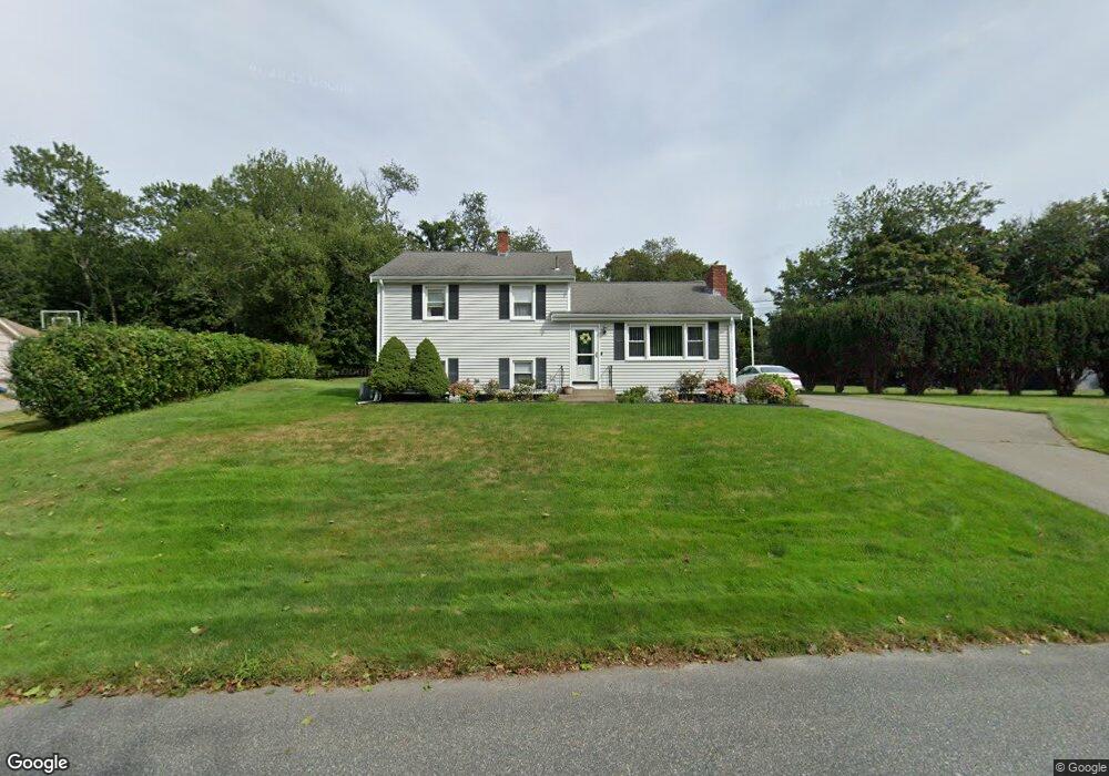
35 Paul Rd Holliston, MA 01746
Estimated Value: $583,000 - $654,000
3
Beds
1
Bath
1,189
Sq Ft
$513/Sq Ft
Est. Value
About This Home
This home is located at 35 Paul Rd, Holliston, MA 01746 and is currently estimated at $610,081, approximately $513 per square foot. 35 Paul Rd is a home located in Middlesex County with nearby schools including Miller Elementary School, Robert H. Adams Middle School, and Holliston High School.
Ownership History
Date
Name
Owned For
Owner Type
Purchase Details
Closed on
Sep 1, 2022
Sold by
Pascucci Jean F
Bought by
J F Pascucci Life T
Current Estimated Value
Purchase Details
Closed on
Nov 10, 2014
Sold by
Pascucci Robert B
Bought by
Pascucci Jean F and Pascucci Robert B
Purchase Details
Closed on
Jan 1, 1966
Bought by
Pascucci Robert B
Create a Home Valuation Report for This Property
The Home Valuation Report is an in-depth analysis detailing your home's value as well as a comparison with similar homes in the area
Home Values in the Area
Average Home Value in this Area
Purchase History
| Date | Buyer | Sale Price | Title Company |
|---|---|---|---|
| J F Pascucci Life T | -- | None Available | |
| Pascucci Jean F | -- | -- | |
| Pascucci Robert B | -- | -- |
Source: Public Records
Tax History Compared to Growth
Tax History
| Year | Tax Paid | Tax Assessment Tax Assessment Total Assessment is a certain percentage of the fair market value that is determined by local assessors to be the total taxable value of land and additions on the property. | Land | Improvement |
|---|---|---|---|---|
| 2025 | $8,242 | $562,600 | $243,700 | $318,900 |
| 2024 | $7,464 | $495,600 | $243,700 | $251,900 |
| 2023 | $7,520 | $488,300 | $243,700 | $244,600 |
| 2022 | $7,084 | $407,600 | $243,700 | $163,900 |
| 2021 | $7,072 | $396,200 | $232,300 | $163,900 |
| 2020 | $7,193 | $381,600 | $209,700 | $171,900 |
| 2019 | $7,035 | $373,600 | $203,500 | $170,100 |
| 2018 | $6,975 | $373,600 | $203,500 | $170,100 |
| 2017 | $6,921 | $373,700 | $207,700 | $166,000 |
| 2016 | $6,866 | $365,400 | $178,400 | $187,000 |
| 2015 | $6,401 | $330,300 | $144,400 | $185,900 |
Source: Public Records
Map
Nearby Homes
- 56 Paul Rd
- 75 Ridge Rd
- 15 Broad Acres Farm Rd
- 12 Longmeadow Ln
- Lot 2 Hanlon Rd
- 85 Fisher St
- 78 Fisher St
- 4 Deerfield Rd
- 1037 Washington St
- 116 Winthrop St
- 1014 Highland St
- 7 Hill St
- 6 Rainbow Dr
- 110 Bonney Dr
- 154 Union St
- 20 Hargrave Ave
- 19 Sycamore Way Unit L40
- 0 Hill St
- 1366 Washington St
- 2 Emerald Dr
- 27 Paul Rd
- 43 Paul Rd
- 36 Paul Rd
- 19 Paul Rd
- 26 Paul Rd
- 1869 Washington St
- 51 Paul Rd
- 46 Paul Rd
- 1881 Washington St
- 20 Paul Rd
- 1897 Washington St
- 1865 Washington St
- 1909 Washington St
- 5 Morgans Way
- 60 Amy Ln
- 1919 Washington St
- 1855 Washington St
- 1864 Washington St
- 1862 Washington St
- 1894 Washington St