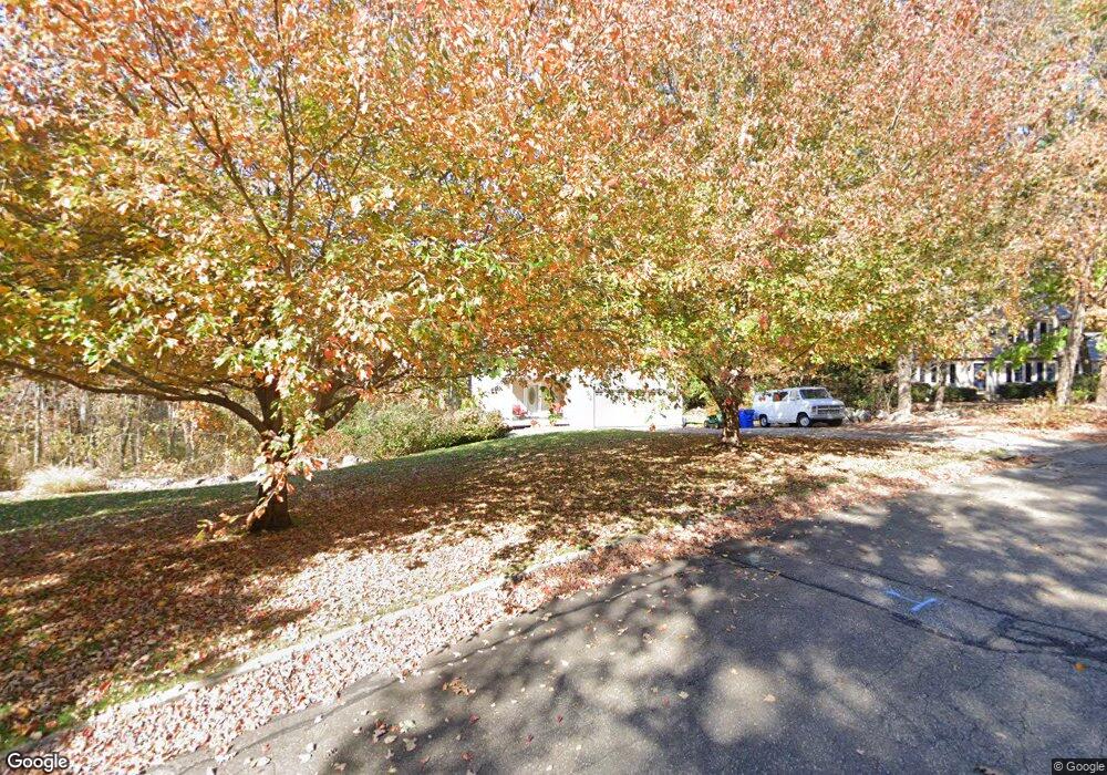
35 Paula Ln Waterford, CT 06385
Estimated Value: $547,715 - $650,000
2
Beds
4
Baths
2,160
Sq Ft
$272/Sq Ft
Est. Value
About This Home
This home is located at 35 Paula Ln, Waterford, CT 06385 and is currently estimated at $587,429, approximately $271 per square foot. 35 Paula Ln is a home located in New London County with nearby schools including Clark Lane Middle School, Waterford High School, and New London High School Multi-Magnet Campus.
Ownership History
Date
Name
Owned For
Owner Type
Purchase Details
Closed on
Aug 21, 2002
Sold by
Amanti Thomas J and Amanti Rebecca A
Bought by
Colonis Kathryn P
Current Estimated Value
Purchase Details
Closed on
May 8, 2000
Sold by
Utz Peter
Bought by
Amanti Thomas J and Amanti Rebecca A
Purchase Details
Closed on
Apr 2, 1998
Sold by
Marathon Dev
Bought by
Utz Peter
Create a Home Valuation Report for This Property
The Home Valuation Report is an in-depth analysis detailing your home's value as well as a comparison with similar homes in the area
Home Values in the Area
Average Home Value in this Area
Purchase History
| Date | Buyer | Sale Price | Title Company |
|---|---|---|---|
| Colonis Kathryn P | $50,000 | -- | |
| Amanti Thomas J | $25,000 | -- | |
| Utz Peter | $25,000 | -- |
Source: Public Records
Mortgage History
| Date | Status | Borrower | Loan Amount |
|---|---|---|---|
| Open | Utz Peter | $300,000 | |
| Closed | Utz Peter | $150,000 | |
| Closed | Utz Peter | $200,000 |
Source: Public Records
Tax History Compared to Growth
Tax History
| Year | Tax Paid | Tax Assessment Tax Assessment Total Assessment is a certain percentage of the fair market value that is determined by local assessors to be the total taxable value of land and additions on the property. | Land | Improvement |
|---|---|---|---|---|
| 2025 | $5,978 | $255,920 | $81,610 | $174,310 |
| 2024 | $5,707 | $255,920 | $81,610 | $174,310 |
| 2023 | $5,426 | $255,920 | $81,610 | $174,310 |
| 2022 | $5,696 | $206,670 | $55,570 | $151,100 |
| 2021 | $5,712 | $206,670 | $55,570 | $151,100 |
| 2020 | $6,036 | $216,580 | $62,080 | $154,500 |
| 2019 | $6,060 | $216,580 | $62,080 | $154,500 |
| 2018 | $5,939 | $216,580 | $62,080 | $154,500 |
| 2017 | $6,097 | $225,550 | $67,660 | $157,890 |
| 2016 | $6,101 | $227,830 | $67,660 | $160,170 |
| 2015 | $5,885 | $227,830 | $67,660 | $160,170 |
| 2014 | $5,885 | $227,830 | $67,660 | $160,170 |
Source: Public Records
Map
Nearby Homes
- 26 Fulmore Dr
- 6 Fulmore Dr
- 127 Spithead Rd
- 9 Arrowhead Trail
- 139 Oswegatchie Rd
- 398 & 402 Boston Post Rd
- 398 Boston Post Rd
- 5 Wilcox Ct
- 32 Stoneheights Dr Unit 32
- 24 Stoneheights Dr
- 9 Rock Ridge Rd
- 164 Stoneheights Dr Unit 164
- 20 North Rd
- 310 Boston Post Rd Unit 86
- 27 Mullen Hill Rd
- 37 South St
- 37 Spithead Rd
- 163 Oswegatchie Rd
- 270 Boston Post Rd Unit 22
- 8 Wadsworth Ln