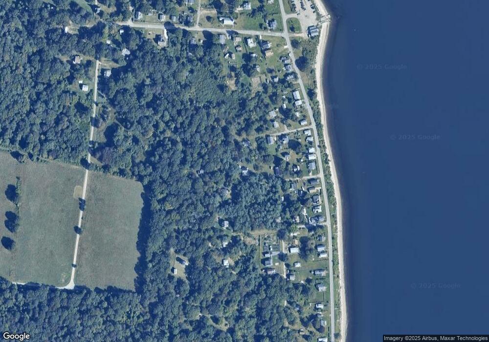
35 Pear Tree Ln Prudence Island, RI 02872
Prudence Island NeighborhoodEstimated Value: $622,275 - $1,096,000
3
Beds
2
Baths
1,778
Sq Ft
$427/Sq Ft
Est. Value
About This Home
This home is located at 35 Pear Tree Ln, Prudence Island, RI 02872 and is currently estimated at $758,569, approximately $426 per square foot. 35 Pear Tree Ln is a home located in Newport County with nearby schools including Portsmouth High School.
Create a Home Valuation Report for This Property
The Home Valuation Report is an in-depth analysis detailing your home's value as well as a comparison with similar homes in the area
Home Values in the Area
Average Home Value in this Area
Tax History Compared to Growth
Tax History
| Year | Tax Paid | Tax Assessment Tax Assessment Total Assessment is a certain percentage of the fair market value that is determined by local assessors to be the total taxable value of land and additions on the property. | Land | Improvement |
|---|---|---|---|---|
| 2025 | $5,768 | $434,300 | $105,400 | $328,900 |
| 2024 | $5,724 | $434,300 | $105,400 | $328,900 |
| 2023 | $5,550 | $434,300 | $105,400 | $328,900 |
| 2022 | $5,055 | $324,900 | $88,200 | $236,700 |
| 2021 | $4,974 | $324,900 | $88,200 | $236,700 |
| 2020 | $4,896 | $324,900 | $88,200 | $236,700 |
| 2019 | $5,353 | $326,400 | $96,200 | $230,200 |
| 2018 | $5,213 | $326,400 | $96,200 | $230,200 |
| 2017 | $5,033 | $326,400 | $96,200 | $230,200 |
| 2016 | $4,349 | $271,800 | $96,200 | $175,600 |
| 2015 | $4,294 | $271,800 | $96,200 | $175,600 |
| 2014 | $4,294 | $271,800 | $96,200 | $175,600 |
Source: Public Records
Map
Nearby Homes
- 176 Daniel Ave
- 125 Homestead Ave
- 272 Carnegie Harbor Dr
- 178 Carnegie Harbor Dr
- 1 Tower Dr Unit 101
- 1 Tower Dr Unit 406
- 1 Tower Dr Unit 302
- 1 Tower Dr Unit 1802
- 1 Tower Dr Unit 1502
- 1 Tower Dr Unit 1806
- 59 Carnegie Harbor Dr
- 4 Lookout Ln
- 4 Lookout Ln Unit 1
- 37 Souza Way
- 26 Westwood Dr
- 1 Lagoon Rd Unit 145
- 95 Devin Dr
- 125 Corys Ln
- 125 Corys Ln Unit Resolute
- 165 Newport Harbor Dr
- 27 Pear Tree Ln
- 26 Brown Ln
- 36 Brown Ln
- 17 Pear Tree Ln
- 16 Brown Ln
- 13 Pear Tree Ln
- 15 Brown Ln
- 026 Brown Ln
- 768 Narragansett Ave
- 17 Brown Ln
- 774 Narragansett Ave
- 778 Narragansett Ave
- 760 Narragansett Ave
- 764 Narragansett Ave
- 736 Narragansett Ave
- 732 Narragansett Ave
- 17 Allen Ln
- 016 Brown Ln
- 63 Allen Ln
- 784 Narragansett Ave
