35 Perch Rock Rd Westport, MA 02790
Acoaxet NeighborhoodEstimated Value: $1,502,000 - $1,796,000
4
Beds
3
Baths
1,424
Sq Ft
$1,186/Sq Ft
Est. Value
About This Home
This home is located at 35 Perch Rock Rd, Westport, MA 02790 and is currently estimated at $1,688,903, approximately $1,186 per square foot. 35 Perch Rock Rd is a home located in Bristol County with nearby schools including Alice A. Macomber Primary School, Westport Elementary School, and Westport Middle-High School.
Ownership History
Date
Name
Owned For
Owner Type
Purchase Details
Closed on
Feb 3, 2017
Sold by
Caty Michael G and Caty Diana C
Bought by
Diana C Caty Ret
Current Estimated Value
Purchase Details
Closed on
Sep 16, 2004
Sold by
Griffin Mary Lee
Bought by
Prescott Betty and Prescott Pamela W
Create a Home Valuation Report for This Property
The Home Valuation Report is an in-depth analysis detailing your home's value as well as a comparison with similar homes in the area
Home Values in the Area
Average Home Value in this Area
Purchase History
| Date | Buyer | Sale Price | Title Company |
|---|---|---|---|
| Diana C Caty Ret | -- | -- | |
| Prescott Betty | $120,000 | -- |
Source: Public Records
Mortgage History
| Date | Status | Borrower | Loan Amount |
|---|---|---|---|
| Previous Owner | Prescott Betty | $677,200 |
Source: Public Records
Tax History Compared to Growth
Tax History
| Year | Tax Paid | Tax Assessment Tax Assessment Total Assessment is a certain percentage of the fair market value that is determined by local assessors to be the total taxable value of land and additions on the property. | Land | Improvement |
|---|---|---|---|---|
| 2025 | $9,993 | $1,341,300 | $1,145,100 | $196,200 |
| 2024 | $9,696 | $1,254,300 | $1,060,900 | $193,400 |
| 2023 | $9,684 | $1,186,800 | $1,010,400 | $176,400 |
| 2022 | $9,818 | $1,157,800 | $1,010,400 | $147,400 |
| 2021 | $9,187 | $1,065,800 | $918,500 | $147,300 |
| 2020 | $8,541 | $1,013,200 | $881,800 | $131,400 |
| 2019 | $8,348 | $1,009,400 | $881,800 | $127,600 |
| 2018 | $6,306 | $771,800 | $656,900 | $114,900 |
| 2017 | $6,091 | $764,200 | $652,100 | $112,100 |
| 2016 | $5,963 | $753,900 | $652,100 | $101,800 |
| 2015 | $5,401 | $681,100 | $591,800 | $89,300 |
Source: Public Records
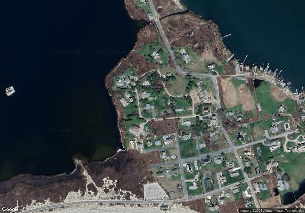
Map
Nearby Homes
- 189 Brayton Point Rd
- 304 Brayton Point Rd
- 19 Seabury Ln
- 1881 Main Rd
- 1749 Main Rd
- 255 John Dyer Rd
- 1580 Main Rd
- 1702J Drift Rd
- 1702 Drift Rd
- 18 Old Barn Rd
- 245 John Dyer Rd
- 128 Maple Ave
- 1346 Main Rd Unit B
- 505 Long Hwy
- 141 S Of Commons Rd
- 238-242 E Beach Rd
- 17 Quail Trail
- 0 Willow Ave
- 116 Amy Hart Path
- 99 Sylvia Ln
- 55 Perch Rock Rd
- 48 Perch Rock Rd
- 56 Perch Rock Rd
- 0 Macomber
- 59 Perch Rock Rd
- 25 Perch Rock Rd
- 9 Hurricane Ln
- 13 Hurricane Ln
- 3 Hurricane Ln
- 17 Hurricane Ln
- 19 Hurricane Ln
- 5 Macomber Ln
- 14 Perch Rock Rd
- 66 Perch Rock Rd
- 16 Prospect Ave
- 6 Prospect Ave
- 0 Perch Rock Rd
- 8 Prospect Ave
- 7 Macomber Ln
- 813 River Rd