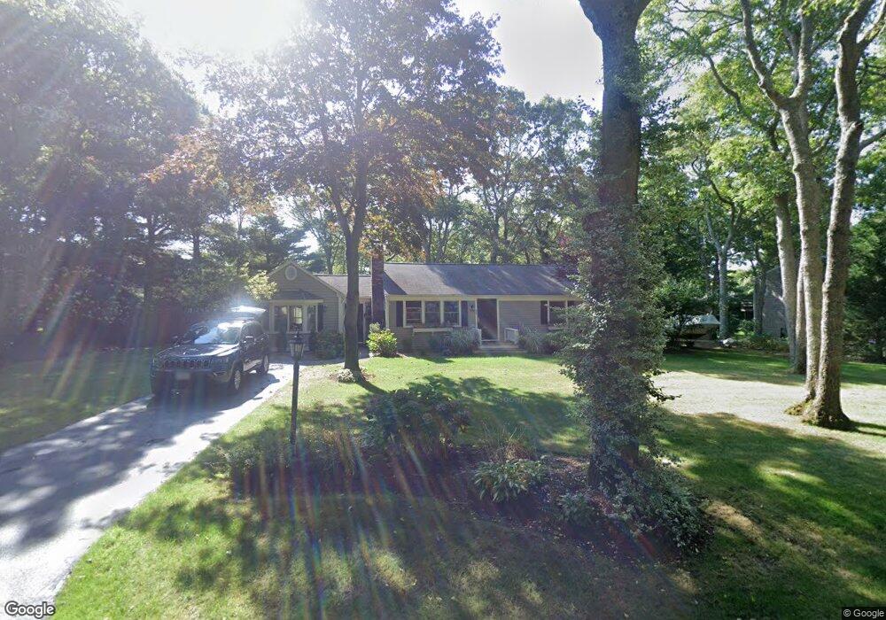
35 Prudence Ln Cotuit, MA 02635
Cotuit NeighborhoodEstimated Value: $643,000 - $678,000
About This Home
This home is located at 35 Prudence Ln, Cotuit, MA 02635 and is currently estimated at $658,295, approximately $548 per square foot. 35 Prudence Ln is a home located in Barnstable County with nearby schools including Barnstable United Elementary School, West Villages Elementary School, and Barnstable Intermediate School.
Ownership History
We collect this data history from publicly available records. To have your information removed, we recommend requesting removal directly through your county’s website.
Purchase Details
Home Values in the Area
Average Home Value in this Area
Purchase History
We collect this data history from publicly available records. To have your information removed, we recommend requesting removal directly through your county’s website.
| Date | Buyer | Sale Price | Title Company |
|---|---|---|---|
| $98,000 | -- |
Mortgage History
We collect this data history from publicly available records. To have your information removed, we recommend requesting removal directly through your county’s website.
| Date | Status | Borrower | Loan Amount |
|---|---|---|---|
| Open | $100,000 | ||
| Closed | $164,845 | ||
| Closed | $100,000 | ||
| Closed | $159,000 | ||
| Closed | $83,200 |
Tax History
We collect this data history from publicly available records. To have your information removed, we recommend requesting removal directly through your county’s website.
| Year | Tax Paid | Tax Assessment Tax Assessment Total Assessment is a certain percentage of the fair market value that is determined by local assessors to be the total taxable value of land and additions on the property. | Land | Improvement |
|---|---|---|---|---|
| 2025 | $4,527 | $542,100 | $156,500 | $385,600 |
| 2024 | $4,243 | $538,400 | $156,500 | $381,900 |
| 2023 | $3,774 | $450,900 | $142,300 | $308,600 |
| 2022 | $3,858 | $373,100 | $105,400 | $267,700 |
| 2021 | $3,534 | $320,100 | $105,400 | $214,700 |
| 2020 | $3,717 | $317,400 | $105,400 | $212,000 |
| 2019 | $3,444 | $289,900 | $105,400 | $184,500 |
| 2018 | $3,139 | $264,200 | $110,900 | $153,300 |
| 2017 | $3,027 | $256,500 | $110,900 | $145,600 |
| 2016 | $2,965 | $257,600 | $112,000 | $145,600 |
| 2015 | $2,871 | $249,200 | $109,600 | $139,600 |
Map
- 16 Pine View Dr
- 102 Waterford Dr
- 1519 Santuit Newtown Rd
- 205 Little River Rd
- 174 Little River Rd
- 564 Cotuit Bay Dr
- 152 River Ridge Dr
- 75 Trout Brook Rd
- 552 Main St
- 476 Baxters Neck Rd
- 375 Baxters Neck Rd
- 359 Baxter Neck Rd
- 17 Claus Way
- 57 Debbies Ln
- 147 Chippingstone Rd
- 10 Abbey Gate Rd
- 763 Santuit-Newtown Rd
- 9 Debbies Ln
- 15 Hampton Ct Unit 15
- 7 Oxford Dr
Ask me questions while you tour the home.