35 Ragged Mtn Rd Camden, ME 04843
Estimated Value: $615,646 - $776,000
3
Beds
3
Baths
2,716
Sq Ft
$256/Sq Ft
Est. Value
About This Home
This home is located at 35 Ragged Mtn Rd, Camden, ME 04843 and is currently estimated at $694,412, approximately $255 per square foot. 35 Ragged Mtn Rd is a home located in Knox County with nearby schools including Camden-Rockport Elementary School, Camden-Rockport Middle School, and Camden Hills Regional High School.
Ownership History
Date
Name
Owned For
Owner Type
Purchase Details
Closed on
Apr 30, 2019
Sold by
Mella Cynthia A
Bought by
Cynthia Mella Lt and Mella
Current Estimated Value
Purchase Details
Closed on
Aug 7, 2006
Sold by
Walker-Spencer Spencer C and Walker-Spencer Sharon L
Bought by
Gross Donald A and Gross Margaret P
Home Financials for this Owner
Home Financials are based on the most recent Mortgage that was taken out on this home.
Original Mortgage
$225,000
Outstanding Balance
$133,242
Interest Rate
6.7%
Mortgage Type
Purchase Money Mortgage
Estimated Equity
$561,171
Create a Home Valuation Report for This Property
The Home Valuation Report is an in-depth analysis detailing your home's value as well as a comparison with similar homes in the area
Home Values in the Area
Average Home Value in this Area
Purchase History
| Date | Buyer | Sale Price | Title Company |
|---|---|---|---|
| Cynthia Mella Lt | -- | -- | |
| Cynthia Mella Lt | -- | -- | |
| Gross Donald A | -- | -- | |
| Gross Donald A | -- | -- | |
| Gross Donald A | -- | -- |
Source: Public Records
Mortgage History
| Date | Status | Borrower | Loan Amount |
|---|---|---|---|
| Open | Gross Donald A | $225,000 | |
| Closed | Gross Donald A | $225,000 |
Source: Public Records
Tax History Compared to Growth
Tax History
| Year | Tax Paid | Tax Assessment Tax Assessment Total Assessment is a certain percentage of the fair market value that is determined by local assessors to be the total taxable value of land and additions on the property. | Land | Improvement |
|---|---|---|---|---|
| 2024 | $5,621 | $535,300 | $176,800 | $358,500 |
| 2023 | $5,107 | $370,100 | $78,800 | $291,300 |
| 2022 | $4,885 | $370,100 | $78,800 | $291,300 |
| 2021 | $4,792 | $312,200 | $89,600 | $222,600 |
| 2020 | $4,692 | $312,200 | $89,600 | $222,600 |
| 2019 | $4,655 | $312,200 | $89,600 | $222,600 |
| 2018 | $4,146 | $278,600 | $93,300 | $185,300 |
| 2017 | $4,006 | $278,600 | $93,300 | $185,300 |
| 2016 | $4,538 | $291,100 | $90,800 | $200,300 |
| 2015 | $4,404 | $291,100 | $90,800 | $200,300 |
| 2014 | $4,201 | $291,100 | $90,800 | $200,300 |
| 2013 | $4,087 | $291,100 | $90,800 | $200,300 |
Source: Public Records
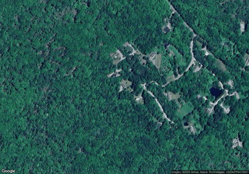
Map
Nearby Homes
- 6 Rd
- 2 Bald Mountain Rd
- 424 Molyneaux Rd
- 24 White Tail Dr
- 43 Melvin Heights Rd
- 163 Main St
- TBD Map 15 Lot 150 Mt Pleasant St
- 315 Beaucaire Ave
- 4 Ministerial Rd
- 92 Camden Rd
- 507 Mount Pleasant St
- 91 Simonton Rd
- 76 Park St
- 646 West St
- Lot 25 West St
- 111 Start Rd
- 161 Beaucaire Ave
- 56 Camden Rd
- 159 Mechanic St
- 80 Cobb Rd
- 0 Ragged Ridge Rd
- 12 Ragged Ridge Rd
- 0 Ragged Ridge
- 41 Ragged Mtn Rd
- 29 Ragged Ridge Rd
- 24 Ragged Ridge Rd
- 30 Ragged Ridge Rd
- 27 Ragged Mtn Rd
- 50 Ragged Mtn Rd
- 57 Ragged Mtn Rd
- 21 Ragged Mtn Rd
- 00 Barnestown Rd
- 126 Barnestown Rd
- 14 Ragged Mtn Rd
- 66 Ragged Mtn Rd
- 34 Blueberry Ln
- 140 Barnstown Road (Birch Hill Sub Unit LOT16
- 120 Barnestown Rd
- 28 Blueberry Ln
- 20 Blueberry Ln