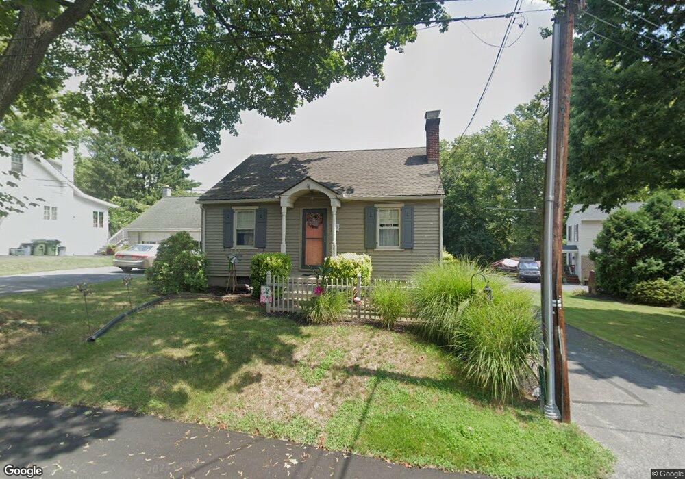
35 Riverside Ave Lancaster, PA 17602
Conestoga Woods NeighborhoodEstimated Value: $221,000 - $268,000
3
Beds
1
Bath
1,015
Sq Ft
$251/Sq Ft
Est. Value
About This Home
This home is located at 35 Riverside Ave, Lancaster, PA 17602 and is currently estimated at $254,740, approximately $250 per square foot. 35 Riverside Ave is a home located in Lancaster County with nearby schools including Burrowes Elementary School, Wickersham Elementary School, and Lincoln Middle School.
Ownership History
Date
Name
Owned For
Owner Type
Purchase Details
Closed on
May 31, 2000
Sold by
Evans Lori A and Brady Lori A
Bought by
Brady Michael C and Brady Lori A
Current Estimated Value
Create a Home Valuation Report for This Property
The Home Valuation Report is an in-depth analysis detailing your home's value as well as a comparison with similar homes in the area
Home Values in the Area
Average Home Value in this Area
Purchase History
| Date | Buyer | Sale Price | Title Company |
|---|---|---|---|
| Brady Michael C | -- | -- |
Source: Public Records
Tax History
| Year | Tax Paid | Tax Assessment Tax Assessment Total Assessment is a certain percentage of the fair market value that is determined by local assessors to be the total taxable value of land and additions on the property. | Land | Improvement |
|---|---|---|---|---|
| 2025 | $2,965 | $102,800 | $34,100 | $68,700 |
| 2024 | $2,965 | $102,800 | $34,100 | $68,700 |
| 2023 | $2,896 | $102,800 | $34,100 | $68,700 |
| 2022 | $2,724 | $102,800 | $34,100 | $68,700 |
| 2021 | $2,641 | $102,800 | $34,100 | $68,700 |
| 2020 | $2,641 | $102,800 | $34,100 | $68,700 |
| 2019 | $2,585 | $102,800 | $34,100 | $68,700 |
| 2018 | $1,755 | $102,800 | $34,100 | $68,700 |
| 2017 | $3,357 | $102,700 | $33,600 | $69,100 |
| 2016 | $3,296 | $102,700 | $33,600 | $69,100 |
| 2015 | $445 | $102,700 | $33,600 | $69,100 |
| 2014 | $2,313 | $102,700 | $33,600 | $69,100 |
Source: Public Records
Map
Nearby Homes
- 47 Riverside Ave
- 38 Conestoga Dr
- 1036 E King St
- 980 E Orange St
- 1015 E Walnut St
- 911 E King St
- 153 N Broad St
- 819 E Marion St
- 133 Conestoga Blvd
- 309 N Reservoir St
- 319 N Reservoir St
- 312 N Reservoir St
- 717 E Walnut St
- 33 Deer Ford Dr
- 623 E Chestnut St
- 53 S Marshall St
- 121 S Marshall St
- 516 Conestoga Greenway Trail
- 627 E Madison St
- 249 N Marshall St
- 33 Riverside Ave
- 37 Riverside Ave
- 31 Riverside Ave
- 34 Riverside Ave
- 30 Willis Ln
- 45 Riverside Ave
- 36 Riverside Ave
- 32 Riverside Ave
- 38 Riverside Ave
- 1407 Clark St
- 29 Riverside Ave
- 1409 Clark St
- 30 Riverside Ave
- 46 Riverside Ave
- 1310 Clark St
- 1306 Clark St
- 1411 Clark St
- 49 Riverside Ave Unit 1
- 49 Riverside Ave
- 50 Riverside Ave
Your Personal Tour Guide
Ask me questions while you tour the home.