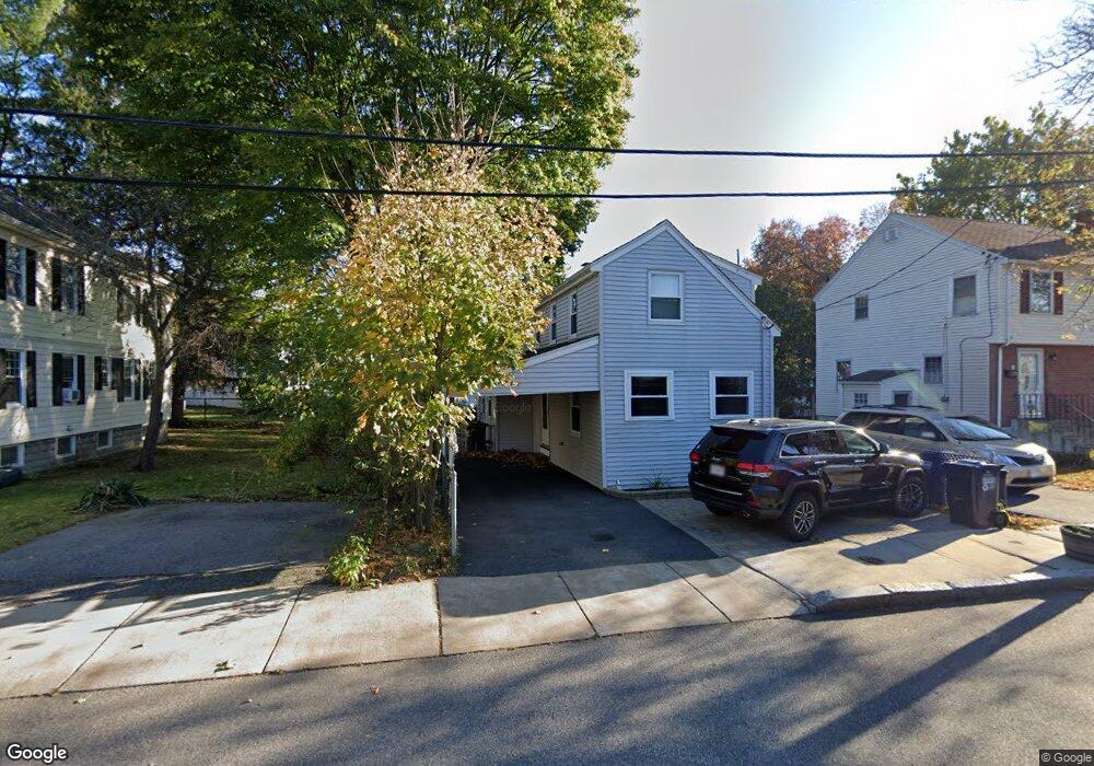
35 S Normandy Ave Unit 1 Cambridge, MA 02138
Estimated Value: $1,024,000 - $1,175,000
2
Beds
2
Baths
1,068
Sq Ft
$1,053/Sq Ft
Est. Value
About This Home
This home is located at 35 S Normandy Ave Unit 1, Cambridge, MA 02138 and is currently estimated at $1,124,089, approximately $1,052 per square foot. 35 S Normandy Ave Unit 1 is a home located in Middlesex County with nearby schools including Fayerweather Street School and Cambridge Montessori School.
Ownership History
Date
Name
Owned For
Owner Type
Purchase Details
Closed on
Apr 23, 2021
Sold by
Mcdonald Matthew R
Bought by
Mcdonald Matthew R and Mcdonald Sara J
Current Estimated Value
Home Financials for this Owner
Home Financials are based on the most recent Mortgage that was taken out on this home.
Original Mortgage
$292,500
Outstanding Balance
$217,009
Interest Rate
2.4%
Mortgage Type
Stand Alone Refi Refinance Of Original Loan
Estimated Equity
$907,080
Create a Home Valuation Report for This Property
The Home Valuation Report is an in-depth analysis detailing your home's value as well as a comparison with similar homes in the area
Home Values in the Area
Average Home Value in this Area
Purchase History
| Date | Buyer | Sale Price | Title Company |
|---|---|---|---|
| Mcdonald Matthew R | -- | None Available | |
| Mcdonald Matthew R | -- | None Available |
Source: Public Records
Mortgage History
| Date | Status | Borrower | Loan Amount |
|---|---|---|---|
| Open | Mcdonald Matthew R | $292,500 |
Source: Public Records
Tax History Compared to Growth
Tax History
| Year | Tax Paid | Tax Assessment Tax Assessment Total Assessment is a certain percentage of the fair market value that is determined by local assessors to be the total taxable value of land and additions on the property. | Land | Improvement |
|---|---|---|---|---|
| 2025 | $5,731 | $902,500 | $444,600 | $457,900 |
| 2024 | $5,453 | $921,100 | $474,600 | $446,500 |
| 2023 | $5,113 | $872,500 | $484,100 | $388,400 |
| 2022 | $4,873 | $823,100 | $479,100 | $344,000 |
| 2021 | $4,694 | $802,400 | $480,700 | $321,700 |
| 2020 | $4,437 | $771,700 | $466,600 | $305,100 |
| 2019 | $4,159 | $700,200 | $416,500 | $283,700 |
| 2018 | $3,910 | $621,600 | $350,700 | $270,900 |
| 2017 | $3,777 | $581,900 | $328,800 | $253,100 |
| 2016 | $3,632 | $519,600 | $285,000 | $234,600 |
| 2015 | $3,601 | $460,500 | $250,500 | $210,000 |
| 2014 | $3,573 | $426,400 | $219,200 | $207,200 |
Source: Public Records
Map
Nearby Homes
- 93 Griswold St Unit 93
- 95 Griswold St Unit 95
- 59 Hamilton Rd
- 48 Hamilton Rd
- 23 Loomis St Unit 23
- 4 Griswold St
- 41 Concord Ave
- 73 Trowbridge St Unit 73B
- 73 Trowbridge St Unit 73A
- 63 Loomis St Unit 63
- 314 Channing Rd
- 118 Blanchard Rd
- 128 Watson Rd
- 176 Channing Rd
- 7 Broad St
- 36 Madison St
- 38 Myrtle St
- 125 Channing Rd
- 29 Wheeler St Unit 108
- 79 Livermore Rd
- 35 S Normandy Ave
- 35 S Normandy Ave
- 35 S Normandy Ave Unit 1
- 29 S Normandy Ave
- 29 S Normandy Ave Unit 410
- 39 S Normandy Ave
- 39 S Normandy Ave Unit 1
- 41 S Normandy Ave
- 41 S Normandy Ave Unit 1
- 44 Sunset Rd
- 23 S Normandy Ave
- 34 S Normandy Ave
- 34 S Normandy Ave Unit 32-202
- 43 S Normandy Ave Unit 45
- 45 S Normandy Ave
- 45 S Normandy Ave Unit 1
- 32 S Normandy Ave
- 32 S Normandy Ave Unit 407
- 32 S Normandy Ave Unit 207
- 38 S Normandy Ave