35 Sheepscot Shores Rd Wiscasset, ME 04578
Estimated Value: $683,000 - $858,000
3
Beds
2
Baths
2,340
Sq Ft
$335/Sq Ft
Est. Value
About This Home
This home is located at 35 Sheepscot Shores Rd, Wiscasset, ME 04578 and is currently estimated at $784,381, approximately $335 per square foot. 35 Sheepscot Shores Rd is a home with nearby schools including Sheepscot Valley Children's House.
Ownership History
Date
Name
Owned For
Owner Type
Purchase Details
Closed on
Nov 8, 2016
Sold by
Carlson Shawn M and Carlson Molly O
Bought by
Carlson Molly O
Current Estimated Value
Home Financials for this Owner
Home Financials are based on the most recent Mortgage that was taken out on this home.
Original Mortgage
$130,000
Interest Rate
3.48%
Mortgage Type
Purchase Money Mortgage
Create a Home Valuation Report for This Property
The Home Valuation Report is an in-depth analysis detailing your home's value as well as a comparison with similar homes in the area
Home Values in the Area
Average Home Value in this Area
Purchase History
| Date | Buyer | Sale Price | Title Company |
|---|---|---|---|
| Carlson Molly O | -- | -- |
Source: Public Records
Mortgage History
| Date | Status | Borrower | Loan Amount |
|---|---|---|---|
| Closed | Carlson Molly O | $130,000 |
Source: Public Records
Tax History Compared to Growth
Tax History
| Year | Tax Paid | Tax Assessment Tax Assessment Total Assessment is a certain percentage of the fair market value that is determined by local assessors to be the total taxable value of land and additions on the property. | Land | Improvement |
|---|---|---|---|---|
| 2024 | $9,361 | $526,800 | $229,800 | $297,000 |
| 2023 | $8,982 | $526,800 | $229,800 | $297,000 |
| 2022 | $8,464 | $421,500 | $183,900 | $237,600 |
| 2021 | $8,481 | $421,500 | $183,900 | $237,600 |
| 2020 | $8,481 | $421,500 | $183,900 | $237,600 |
| 2019 | $8,388 | $421,500 | $183,900 | $237,600 |
| 2018 | $8,240 | $421,500 | $183,900 | $237,600 |
| 2017 | $7,907 | $421,500 | $183,900 | $237,600 |
| 2016 | $7,886 | $421,500 | $183,900 | $237,600 |
| 2015 | $6,913 | $421,500 | $183,900 | $237,600 |
| 2014 | $7,166 | $421,500 | $183,900 | $237,600 |
| 2013 | $6,828 | $421,500 | $183,900 | $237,600 |
Source: Public Records
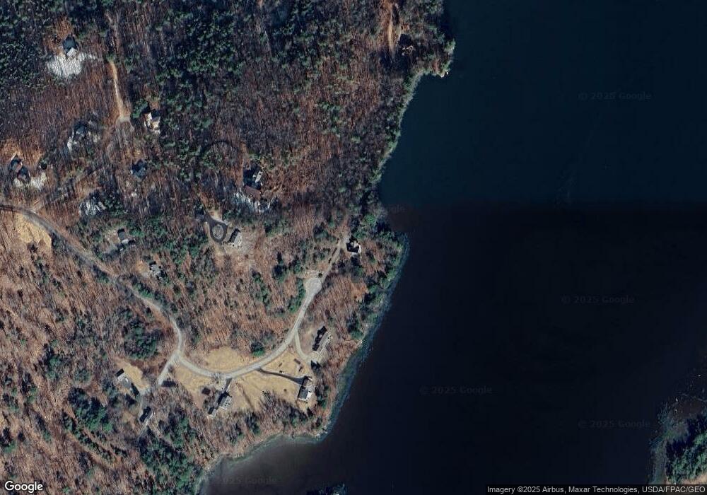
Map
Nearby Homes
- 105 Old Sheepscot Rd
- Lot#4 Bay View Trail
- Lot #3 Bay View Trail
- Lot # 0 Deer Ridge Rd
- R05-58A W Alna Rd
- 977 Alna Rd
- 27 Dodge Rd
- 48 Us Route 1
- 11 Island Ln Unit 1
- 306 Eddy Rd Unit 310
- 306 Eddy Rd Unit 307
- 306 Eddy Rd Unit 309
- 3 Langdon Rd
- 304 Eddy Rd Unit 216
- 22 Sand Hill Rd
- 8 Foye Rd
- 10 Foye Rd
- 67 Village Way Unit 505
- 200 Main St
- 114 Fort Rd
- 25 Sheepscot Shores Rd
- 30 Stonewall Dr
- 31 Stonewall Dr
- 11 Sheepscot Shores Rd
- 26 Sheepscot Shores Rd
- 0 Sheepscot Shores Rd
- 17 Sheepscot Shores Rd
- 96 Brown Rd
- 9 Sheepscot Shores Rd
- 25 Harrison Ln
- 86 Brown Rd
- 37 Harrison Ln
- Lot 4 Brown Rd
- 11 Harrison Ln
- 121 Brown Rd
- 36 Harrison Ln
- 0 Harrison Ln
- 32 Harrison Ln
- 2 Harrison Ln
- 0A Harrison Ln