Estimated Value: $110,807 - $160,000
Studio
1
Bath
1,211
Sq Ft
$119/Sq Ft
Est. Value
About This Home
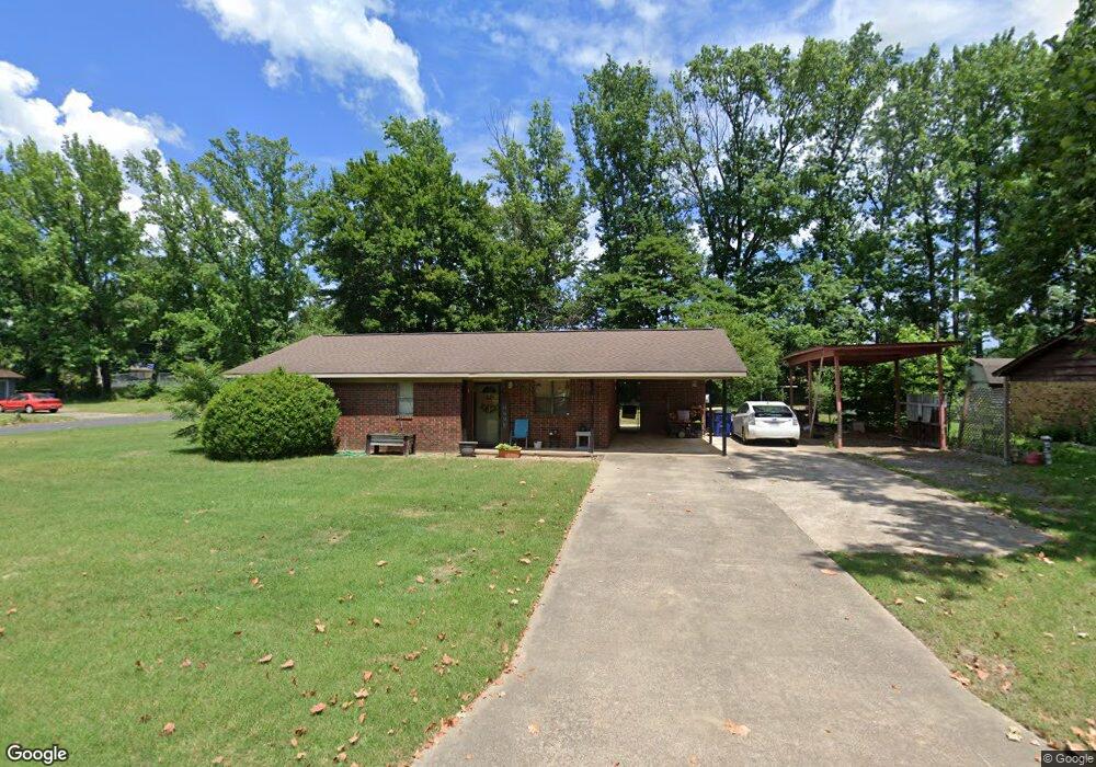
This home is located at 35 Spence Dr, Cabot, AR 72023 and is currently estimated at $143,702, approximately $118 per square foot. 35 Spence Dr is a home located in Lonoke County with nearby schools including Central Elementary School, Cabot Middle School South, and Cabot Junior High South.
Ownership History
Date
Name
Owned For
Owner Type
Purchase Details
Closed on
Jan 28, 2004
Bought by
Paul'S Custom
Current Estimated Value
Purchase Details
Closed on
Aug 21, 2003
Bought by
Yamber P
Purchase Details
Closed on
May 1, 2002
Bought by
Shiell and Shiell Wf
Purchase Details
Closed on
Jul 23, 1991
Bought by
Taylor and Wife Cindy
Purchase Details
Closed on
Mar 14, 1991
Bought by
Sec Of V A
Purchase Details
Closed on
Jan 24, 1991
Bought by
United Saving Bank
Purchase Details
Closed on
Apr 10, 1990
Bought by
United Saving Bank
Purchase Details
Closed on
Aug 10, 1988
Bought by
Bise
Purchase Details
Closed on
Oct 9, 1986
Bought by
Sample
Purchase Details
Closed on
Nov 8, 1983
Bought by
Sample
Purchase Details
Closed on
Nov 5, 1981
Bought by
Mcgee
Create a Home Valuation Report for This Property
The Home Valuation Report is an in-depth analysis detailing your home's value as well as a comparison with similar homes in the area
Purchase History
| Date | Buyer | Sale Price | Title Company |
|---|---|---|---|
| Paul'S Custom | -- | -- | |
| Yamber P | -- | -- | |
| Shiell | $61,000 | -- | |
| Shiell | $61,000 | -- | |
| Taylor | -- | -- | |
| A | -- | -- | |
| Sec Of V A | -- | -- | |
| United Saving Bank | -- | -- | |
| United Saving Bank | -- | -- | |
| Bise | $45,000 | -- | |
| Sample | -- | -- | |
| Sample | $41,000 | -- | |
| Mcgee | $40,000 | -- |
Source: Public Records
Tax History
| Year | Tax Paid | Tax Assessment Tax Assessment Total Assessment is a certain percentage of the fair market value that is determined by local assessors to be the total taxable value of land and additions on the property. | Land | Improvement |
|---|---|---|---|---|
| 2025 | $772 | $15,160 | $2,000 | $13,160 |
| 2024 | $772 | $15,160 | $2,000 | $13,160 |
| 2023 | $772 | $15,160 | $2,000 | $13,160 |
| 2022 | $772 | $15,160 | $2,000 | $13,160 |
| 2021 | $772 | $15,160 | $2,000 | $13,160 |
| 2020 | $741 | $14,560 | $2,000 | $12,560 |
| 2019 | $741 | $14,560 | $2,000 | $12,560 |
| 2018 | $719 | $14,560 | $2,000 | $12,560 |
| 2017 | $668 | $14,560 | $2,000 | $12,560 |
| 2016 | $719 | $14,560 | $2,000 | $12,560 |
| 2015 | $719 | $14,550 | $2,000 | $12,550 |
| 2014 | $719 | $14,550 | $2,000 | $12,550 |
Source: Public Records
Map
Nearby Homes
- 57 Meadowlark Dr
- 51 Meadowlark Dr
- 16 Meadowlark Dr
- 49 Oak Meadows Dr
- 92 Sycamore Cir
- 37 Pond St
- 40 Bent Tree Dr
- 34 Bent Tree Dr
- 23 Robinson St
- 19 Sycamore St
- 509 E Myrtle St
- 00 Plaza Blvd
- 00 Kerr Station Rd
- 113 Walnut St
- 110 N Monroe St
- 109 Pin Oak Dr
- 20 Paige Ave
- 211 N Jackson St
- 20 Lillie St
- 28 Pheasant Run Dr
Your Personal Tour Guide
Ask me questions while you tour the home.