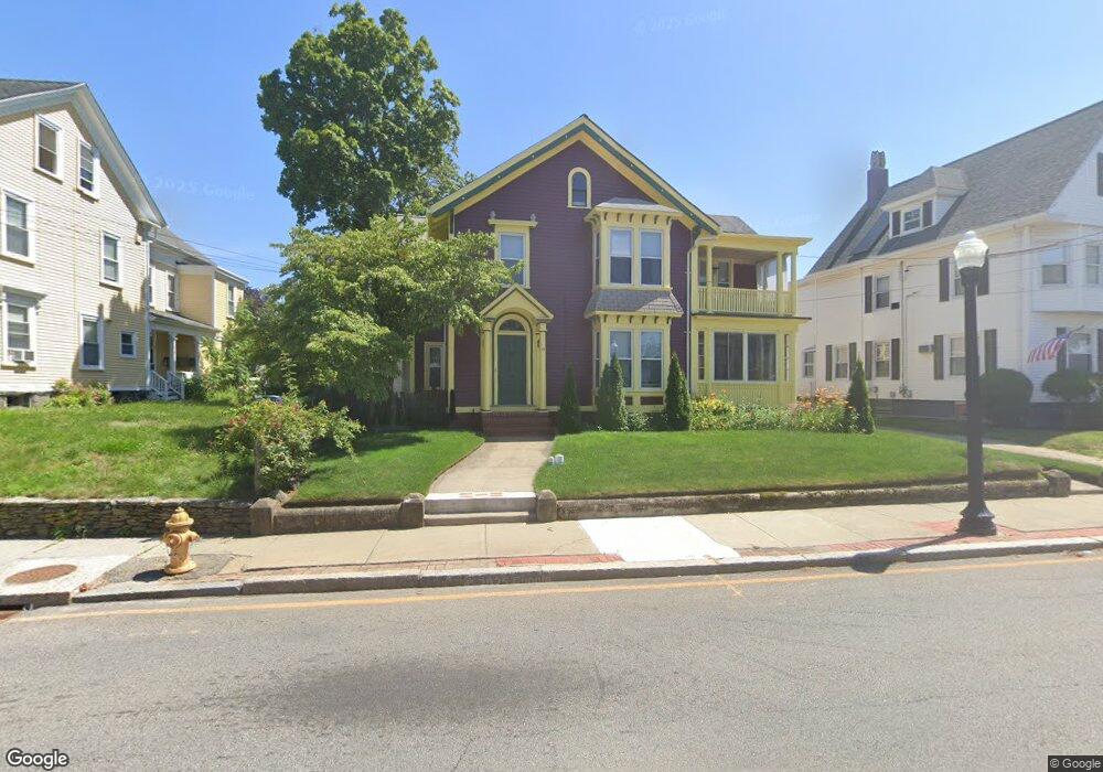
35 Spring St Pawtucket, RI 02860
Pleasant View NeighborhoodEstimated Value: $555,000 - $621,000
5
Beds
3
Baths
3,236
Sq Ft
$180/Sq Ft
Est. Value
About This Home
This home is located at 35 Spring St, Pawtucket, RI 02860 and is currently estimated at $582,000, approximately $179 per square foot. 35 Spring St is a home located in Providence County with nearby schools including International Charter School, Blackstone Academy Charter School, and Saint Raphael Academy.
Ownership History
Date
Name
Owned For
Owner Type
Purchase Details
Closed on
Oct 15, 2021
Sold by
Rogers Margaret E
Bought by
Rogers Tyler J and Rogers Gwendolyn A
Current Estimated Value
Purchase Details
Closed on
Aug 13, 2010
Sold by
Provident Postal Fcu
Bought by
Burns-Rogers Margaret E
Create a Home Valuation Report for This Property
The Home Valuation Report is an in-depth analysis detailing your home's value as well as a comparison with similar homes in the area
Home Values in the Area
Average Home Value in this Area
Purchase History
| Date | Buyer | Sale Price | Title Company |
|---|---|---|---|
| Rogers Tyler J | -- | None Available | |
| Burns-Rogers Margaret E | -- | -- |
Source: Public Records
Mortgage History
| Date | Status | Borrower | Loan Amount |
|---|---|---|---|
| Previous Owner | Burns-Rogers Margaret E | $41,000 | |
| Previous Owner | Burns-Rogers Margaret E | $150,000 |
Source: Public Records
Tax History
| Year | Tax Paid | Tax Assessment Tax Assessment Total Assessment is a certain percentage of the fair market value that is determined by local assessors to be the total taxable value of land and additions on the property. | Land | Improvement |
|---|---|---|---|---|
| 2025 | $6,976 | $530,500 | $110,200 | $420,300 |
| 2024 | $6,546 | $530,500 | $110,200 | $420,300 |
| 2023 | $6,322 | $373,200 | $63,900 | $309,300 |
| 2022 | $6,188 | $373,200 | $63,900 | $309,300 |
| 2021 | $6,188 | $373,200 | $63,900 | $309,300 |
| 2020 | $4,963 | $237,600 | $53,200 | $184,400 |
| 2019 | $4,963 | $237,600 | $53,200 | $184,400 |
| 2018 | $4,783 | $237,600 | $53,200 | $184,400 |
| 2017 | $4,692 | $206,500 | $44,000 | $162,500 |
| 2016 | $4,520 | $206,500 | $44,000 | $162,500 |
| 2015 | $4,520 | $206,500 | $44,000 | $162,500 |
| 2014 | $3,505 | $152,000 | $44,000 | $108,000 |
Source: Public Records
Map
Nearby Homes
- 27 Spring St
- 43 Spring St
- 28 Armistice Blvd
- 22 Armistice Blvd
- 26 Armistice Blvd
- 18 Armistice Blvd
- 51 Spring St
- 14 Armistice Blvd
- 19 Spring St
- 19 Spring St Unit B-1
- 12 Howard Ave
- 17 Spring St
- 17 Spring St Unit 17
- 17 Spring St Unit B-2
- 36 Armistice Blvd
- 15 Spring St
- 24 Spring St
- 10 Armistice Blvd
- 54 Spring St
- 16 Spring St
Your Personal Tour Guide
Ask me questions while you tour the home.