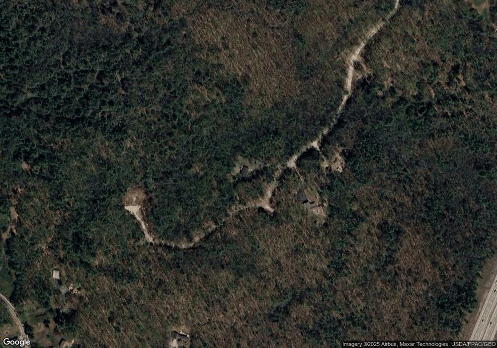
35 Timber Point Rd Kennebunk, ME 04043
Estimated Value: $485,749 - $622,000
3
Beds
2
Baths
1,296
Sq Ft
$430/Sq Ft
Est. Value
About This Home
This home is located at 35 Timber Point Rd, Kennebunk, ME 04043 and is currently estimated at $556,687, approximately $429 per square foot. 35 Timber Point Rd is a home with nearby schools including Kennebunk High School.
Ownership History
Date
Name
Owned For
Owner Type
Purchase Details
Closed on
Mar 10, 2022
Sold by
Spang Philip J and Spang Deidre J
Bought by
Spang Philip J
Current Estimated Value
Purchase Details
Closed on
Sep 29, 2011
Sold by
Spang 3Rd Philip J and Spang Deidre J
Bought by
Spang 4Th Philip J
Create a Home Valuation Report for This Property
The Home Valuation Report is an in-depth analysis detailing your home's value as well as a comparison with similar homes in the area
Home Values in the Area
Average Home Value in this Area
Purchase History
| Date | Buyer | Sale Price | Title Company |
|---|---|---|---|
| Spang Philip J | -- | None Available | |
| Spang Philip J | -- | None Available | |
| Spang Philip J | -- | None Available | |
| Spang 4Th Philip J | -- | -- | |
| Spang 4Th Philip J | -- | -- |
Source: Public Records
Tax History
| Year | Tax Paid | Tax Assessment Tax Assessment Total Assessment is a certain percentage of the fair market value that is determined by local assessors to be the total taxable value of land and additions on the property. | Land | Improvement |
|---|---|---|---|---|
| 2024 | $4,507 | $265,900 | $0 | $0 |
| 2023 | $4,268 | $265,900 | $89,200 | $176,700 |
| 2022 | $3,882 | $265,900 | $89,200 | $176,700 |
| 2021 | $3,783 | $265,500 | $88,800 | $176,700 |
| 2020 | $3,757 | $265,500 | $88,800 | $176,700 |
| 2019 | $3,651 | $265,500 | $88,800 | $176,700 |
| 2018 | $3,484 | $199,100 | $66,600 | $132,500 |
| 2017 | $3,295 | $199,100 | $66,600 | $132,500 |
| 2016 | $3,979 | $199,100 | $66,600 | $132,500 |
| 2015 | $3,046 | $199,100 | $66,600 | $132,500 |
| 2014 | $2,967 | $199,100 | $66,600 | $132,500 |
Source: Public Records
Map
Nearby Homes
- 23 Cascade Cir Unit 22
- 23 Lilac Ln
- 056 Cat Mousam Rd
- 9 Hampton Glen Dr Unit 3
- 17 Hampton Glen Dr Unit 5
- 6 Dunnhill Dr Unit 28
- 22 Winchester Ct
- 30 Twine Mill Rd
- 59 Webber Hill Rd
- 9 Hammond Rd
- 59 Plymouth Grove Unit 11
- 19 Old Alewive Rd
- 42 Cascade Cir Unit 34
- 0 Potvin Rd
- 276 Alfred Rd
- 274 Alfred Rd
- 24-4,25-10 Chapman Ln
- 15 Cascade Cir Unit 18
- 15 Casey Ln
- 21 Cascade Cir Unit 21
- 34 Timber Point Rd
- 374 Cat Mousam Rd
- 4 Finestkind Ln
- 139 Whitten Rd
- M18Lots59A Chestnut Ct
- TBD Hollis Rd
- 4 Turnpike Rd N
- 0 Woodhaven Dr
- 2 Furbish (Lot 2) Ln
- 5 Rusty Bucket Ln
- 137 Whitten Rd
- 11 Rusty Bucket Ln
- 0 Rusty Bucket Ln
- 9 Nature Trail
- 7 Rusty Bucket Ln
- 110 Whitten Rd
- 161 Whitten Rd
- 1 Rusty Bucket Ln
- 130 Whitten Rd
- 130 Whitten Rd
