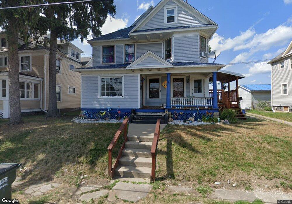
35 W Cambridge St Alliance, OH 44601
Estimated Value: $102,000 - $124,000
4
Beds
3
Baths
2,833
Sq Ft
$41/Sq Ft
Est. Value
About This Home
This home is located at 35 W Cambridge St, Alliance, OH 44601 and is currently estimated at $115,333, approximately $40 per square foot. 35 W Cambridge St is a home located in Stark County with nearby schools including Alliance Early Learning School, Alliance Intermediate School at Northside, and Alliance Middle School.
Ownership History
Date
Name
Owned For
Owner Type
Purchase Details
Closed on
Aug 26, 2025
Sold by
Lama Elaine D
Bought by
Lama Elaine D and Mcmickens Heidi E
Current Estimated Value
Purchase Details
Closed on
Mar 24, 2003
Sold by
Plumley Elaine D and Lama Elaine D
Bought by
Lama Robert and Lama Elaine D
Create a Home Valuation Report for This Property
The Home Valuation Report is an in-depth analysis detailing your home's value as well as a comparison with similar homes in the area
Home Values in the Area
Average Home Value in this Area
Purchase History
| Date | Buyer | Sale Price | Title Company |
|---|---|---|---|
| Lama Elaine D | -- | None Listed On Document | |
| Lama Robert | -- | -- |
Source: Public Records
Tax History Compared to Growth
Tax History
| Year | Tax Paid | Tax Assessment Tax Assessment Total Assessment is a certain percentage of the fair market value that is determined by local assessors to be the total taxable value of land and additions on the property. | Land | Improvement |
|---|---|---|---|---|
| 2025 | -- | $34,930 | $7,280 | $27,650 |
| 2024 | -- | $31,290 | $7,280 | $24,010 |
| 2023 | $509 | $21,600 | $6,790 | $14,810 |
| 2022 | $529 | $21,600 | $6,790 | $14,810 |
| 2021 | $531 | $21,600 | $6,790 | $14,810 |
| 2020 | $438 | $18,630 | $5,920 | $12,710 |
| 2019 | $432 | $18,450 | $5,920 | $12,530 |
| 2018 | $426 | $18,450 | $5,920 | $12,530 |
| 2017 | $710 | $15,820 | $4,760 | $11,060 |
| 2016 | $982 | $21,700 | $4,760 | $16,940 |
| 2015 | $991 | $21,700 | $4,760 | $16,940 |
| 2014 | $1,061 | $22,130 | $4,870 | $17,260 |
| 2013 | $529 | $22,130 | $4,870 | $17,260 |
Source: Public Records
Map
Nearby Homes
- 427 S Union Ave
- 140 W Summit St
- 807 S Union Ave
- 132 S Haines Ave
- 163 W Market St
- 432 S Linden Ave
- 356 E Broadway St
- 645 W Summit St
- 452 E Summit St
- 345 W Market St
- V/L S Fredeom Ave
- 361 E Main St
- 329 1/2 W Main St
- 725 W Summit St
- 734 Parkway Blvd
- 1005 S Freedom Ave
- 142 S Seneca Ave
- 442 S Liberty Ave
- 896 Parkway Blvd
- 1175 S Freedom Ave
- 47 W Cambridge St
- 27 W Cambridge St
- 57 W Cambridge St
- 517 S Union Ave
- 58 W Oxford St
- 81 W Cambridge St
- 66 W Oxford St
- 70 W Cambridge St
- 76 W Oxford St
- 103 W Cambridge St
- 39 W Oxford St
- 520 S Union Ave
- 606 S Union Ave
- 25 W Oxford St
- 102 104 W Cambridge
- 102 W Cambridge St
- 104 W Oxford St
- 632 Scranton Ave
- 115 W Cambridge St
- 65 W Oxford St